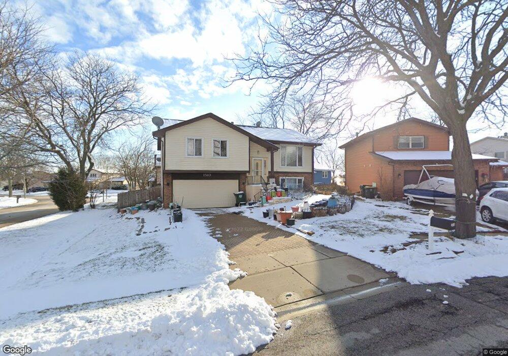
1510 Brookside Dr Hoffman Estates, IL 60169
South Hoffman Estates NeighborhoodEstimated Value: $353,000 - $428,000
About This Home
This home is located at 1510 Brookside Dr, Hoffman Estates, IL 60169 and is currently estimated at $382,776, approximately $373 per square foot. 1510 Brookside Dr is a home located in Cook County with nearby schools including Neil Armstrong Elementary School, Dwight D Eisenhower Junior High School, and Hoffman Estates High School.
Ownership History
We collect this data history from publicly available records. To have your information removed, we recommend requesting removal directly through your county’s website.
Purchase Details
Home Values in the Area
Average Home Value in this Area
Purchase History
We collect this data history from publicly available records. To have your information removed, we recommend requesting removal directly through your county’s website.
| Date | Buyer | Sale Price | Title Company |
|---|---|---|---|
| $137,500 | -- |
Tax History
We collect this data history from publicly available records. To have your information removed, we recommend requesting removal directly through your county’s website.
| Year | Tax Paid | Tax Assessment Tax Assessment Total Assessment is a certain percentage of the fair market value that is determined by local assessors to be the total taxable value of land and additions on the property. | Land | Improvement |
|---|---|---|---|---|
| 2025 | $3,283 | $30,000 | $6,244 | $23,756 |
| 2024 | $3,283 | $26,000 | $5,676 | $20,324 |
| 2023 | $3,278 | $26,000 | $5,676 | $20,324 |
| 2022 | $3,278 | $26,000 | $5,676 | $20,324 |
| 2021 | $3,600 | $20,916 | $8,939 | $11,977 |
| 2020 | $3,275 | $20,916 | $8,939 | $11,977 |
| 2019 | $3,240 | $23,240 | $8,939 | $14,301 |
| 2018 | $3,615 | $22,079 | $7,804 | $14,275 |
| 2017 | $3,488 | $22,079 | $7,804 | $14,275 |
| 2016 | $4,067 | $22,079 | $7,804 | $14,275 |
| 2015 | $4,606 | $18,837 | $6,811 | $12,026 |
| 2014 | $4,827 | $20,171 | $6,811 | $13,360 |
| 2013 | $4,238 | $20,171 | $6,811 | $13,360 |
Map
- 2216 Seaver Ln Unit 2
- 1688 Queensbury Cir Unit 5874
- 2207 Seaver Ln
- 1880 Bonnie Ln Unit 203
- 1475 Rebecca Dr Unit 422
- 1475 Rebecca Dr Unit 418
- 1375 Rebecca Dr Unit 302
- 1500 Robin Cir Unit 314
- 1796 Queensbury Cir
- 1793 Queensbury Cir
- 1814 Sessions Walk Unit 1814
- 1781 Raleigh Ln
- 1863 Williamsburg Dr
- 1796 Fayette Walk Unit F
- 1804 Fayette Walk Unit G
- 1943 Hancock Dr Unit 5493
- 1724 Fayette Walk Unit F
- 1929 Whitingham Ln Unit 1
- 1840 Huntington Blvd Unit BW511
- 1840 Huntington Blvd Unit 203
- 1577 Cornell Place Unit 13B
- 1575 Cornell Place Unit 13A
- 1571 Cornell Place Unit 13C
- 1571 Cornell Place Unit 1571
- 1573 Cornell Place Unit 13D
- 1573 Cornell Place Unit 1573
- 1583 Cornell Place Unit 14B
- 1565 Cornell Place Unit 12A
- 1565 Cornell Place Unit 1565
- 1518 Brookside Dr
- 1514 Brookside Dr
- 1585 Cornell Place Unit 14C
- 1587 Cornell Place Unit 14D
- 1587 Cornell Place Unit 1
- 1569 Cornell Place Unit 12E
- 1563 Cornell Place Unit 12D
- 1561 Cornell Place Unit 12C
- 1490 Brookside Dr
- 1555 Cornell Place Unit 11D
- 1557 Cornell Place Unit 11A
Ask me questions while you tour the home.