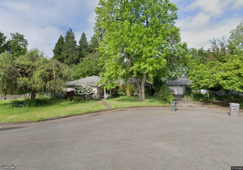
1510 Roundup Dr Eugene, OR 97401
Harlow NeighborhoodEstimated Value: $523,000 - $560,000
3
Beds
2
Baths
1,991
Sq Ft
$272/Sq Ft
Est. Value
About This Home
This home is located at 1510 Roundup Dr, Eugene, OR 97401 and is currently estimated at $541,346, approximately $271 per square foot. 1510 Roundup Dr is a home located in Lane County with nearby schools including Holt Elementary School, Monroe Middle School, and Sheldon High School.
Ownership History
Date
Name
Owned For
Owner Type
Purchase Details
Closed on
Nov 28, 2001
Sold by
Hellickson Richard W
Bought by
Huffman Carole J
Current Estimated Value
Home Financials for this Owner
Home Financials are based on the most recent Mortgage that was taken out on this home.
Original Mortgage
$92,750
Outstanding Balance
$35,615
Interest Rate
6.63%
Estimated Equity
$505,731
Create a Home Valuation Report for This Property
The Home Valuation Report is an in-depth analysis detailing your home's value as well as a comparison with similar homes in the area
Home Values in the Area
Average Home Value in this Area
Purchase History
| Date | Buyer | Sale Price | Title Company |
|---|---|---|---|
| Huffman Carole J | $144,000 | Western Title & Escrow Compa |
Source: Public Records
Mortgage History
| Date | Status | Borrower | Loan Amount |
|---|---|---|---|
| Open | Huffman Carole J | $92,750 |
Source: Public Records
Tax History
| Year | Tax Paid | Tax Assessment Tax Assessment Total Assessment is a certain percentage of the fair market value that is determined by local assessors to be the total taxable value of land and additions on the property. | Land | Improvement |
|---|---|---|---|---|
| 2025 | $4,936 | $253,356 | -- | -- |
| 2024 | $4,875 | $245,977 | -- | -- |
| 2023 | $4,875 | $238,813 | $0 | $0 |
| 2022 | $4,567 | $231,858 | $0 | $0 |
| 2021 | $4,290 | $225,105 | $0 | $0 |
| 2020 | $4,305 | $218,549 | $0 | $0 |
| 2019 | $4,157 | $212,184 | $0 | $0 |
| 2018 | $3,913 | $200,004 | $0 | $0 |
| 2017 | $3,738 | $200,004 | $0 | $0 |
| 2016 | $3,645 | $194,179 | $0 | $0 |
| 2015 | $3,519 | $188,523 | $0 | $0 |
| 2014 | $3,440 | $183,032 | $0 | $0 |
Source: Public Records
Map
Nearby Homes
- 2956 Willakenzie Rd
- 0 Sprig Ln Unit Lot 3
- 0 Sprig Ln Unit Lot 3 766109892
- 1491 Victorian Way
- 1090 Corydon St
- 1564 Regency Dr
- 950 Coburg Rd
- 2580 Elysium Ave
- 2495 Jeppesen Acres Rd
- 2577 Elysium Ave
- 1630 Ridgley Blvd
- 2872 Suffolk Ct
- 1271 Arcadia Dr
- 825 Waverly St
- 2345 Pioneer Pike
- 2746 Harlow Rd
- 820 Lariat Dr
- 2420 Willona Dr
- 600 Cherry Dr Unit 8
- 600 Cherry Dr Unit 3
- 1560 Roundup Dr
- 1496 Roundup Dr
- 1580 Roundup Dr
- 1565 Roundup Dr
- 1597 Hackamore Way
- 1492 Roundup Dr
- 1590 Hackamore Way
- 2910 Willakenzie Rd
- 2924 Willakenzie Rd
- 1585 Hackamore Way
- 2936 Willakenzie Rd
- 1488 Roundup Dr
- 1493 Roundup Dr
- 1582 Hackamore Way
- 1487 Roundup Dr
- 1486 Roundup Dr
- 1573 Hackamore Way
- 1574 Hackamore Way
- 1584 Bar M Dr
- 1475 Spur Place
Your Personal Tour Guide
Ask me questions while you tour the home.