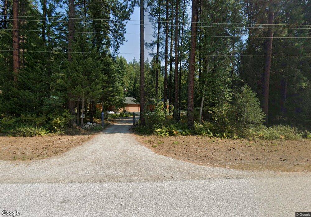
1511 Upper Pack River Rd Sandpoint, ID 83864
Estimated Value: $557,000 - $687,000
About This Home
This home is located at 1511 Upper Pack River Rd, Sandpoint, ID 83864 and is currently estimated at $618,126, approximately $440 per square foot. 1511 Upper Pack River Rd is a home with nearby schools including Kootenai Elementary School, Sandpoint Middle School, and Sandpoint High School.
Ownership History
We collect this data history from publicly available records. To have your information removed, we recommend requesting removal directly through your county’s website.
Purchase Details
Home Financials for this Owner
Home Financials are based on the most recent Mortgage that was taken out on this home.Purchase Details
Home Financials for this Owner
Home Financials are based on the most recent Mortgage that was taken out on this home.Purchase Details
Home Values in the Area
Average Home Value in this Area
Purchase History
We collect this data history from publicly available records. To have your information removed, we recommend requesting removal directly through your county’s website.
| Date | Buyer | Sale Price | Title Company |
|---|---|---|---|
| -- | North Idaho Title Company | ||
| -- | -- | ||
| -- | -- |
Mortgage History
We collect this data history from publicly available records. To have your information removed, we recommend requesting removal directly through your county’s website.
| Date | Status | Borrower | Loan Amount |
|---|---|---|---|
| Open | $274,000 | ||
| Closed | $248,000 |
Tax History
We collect this data history from publicly available records. To have your information removed, we recommend requesting removal directly through your county’s website.
| Year | Tax Paid | Tax Assessment Tax Assessment Total Assessment is a certain percentage of the fair market value that is determined by local assessors to be the total taxable value of land and additions on the property. | Land | Improvement |
|---|---|---|---|---|
| 2025 | $1,425 | $467,531 | $184,799 | $282,732 |
| 2024 | $1,812 | $498,480 | $191,266 | $307,214 |
| 2023 | $1,614 | $521,305 | $194,338 | $326,967 |
| 2022 | $2,071 | $553,114 | $160,364 | $392,750 |
| 2021 | $1,453 | $316,523 | $69,876 | $246,647 |
| 2020 | $1,510 | $287,787 | $64,706 | $223,081 |
| 2019 | $1,115 | $254,737 | $58,280 | $196,457 |
| 2018 | $1,138 | $216,552 | $54,127 | $162,425 |
| 2017 | $1,138 | $217,892 | $0 | $0 |
| 2016 | $1,125 | $222,172 | $0 | $0 |
| 2015 | -- | $224,816 | $0 | $0 |
| 2014 | -- | $222,102 | $0 | $0 |
Map
- 508 Cedar Grove
- NNA Elk St
- 778 B St
- 1464 Hulett Hill Dr
- 362 Winding Way
- NNA B Street Blk 3 Lot 2
- 5 A St
- 2895 Upper Pack River Rd
- 2899 Upper Pack River Rd
- 12 Hulett Hill Dr
- 2282 N Center Valley Rd
- 633 Old Mill Rd
- 3464 Upper Pack River Rd
- 870 & 842 Samuels Rd
- 446 Hummingbird Dr
- 415 Hummingbird Dr
- Parcel B Berry Canyon Rd
- 386 Hummingbird Dr
- 2 Whitetail Farm Ln
- 1 Whitetail Farm Ln
- 1537 Upper Pack River Rd
- 1477 Upper Pack River Rd
- 1554 Upper Pack River Rd
- 1421 Upper Pack River Rd
- 1478 Upper Pack River Rd
- 1594 Upper Pack River Rd
- 1389 Upper Pack River Rd
- 1671 Upper Pack River Rd
- 1662 Upper Pack River Rd
- 0 Nka Elk Loop
- 1311 Upper Pack River Rd
- 1706 Upper Pack River Rd
- 1702 Upper Pack River Rd
- 1300 Upper Pack River Rd
- NKA Upper Pack River (6 85 Acres)
- NKA Cedar Grove
- NKA Cedar Grove (4 34 Ac)
- 1846 Upper Pack River Rd
- 1138 Upper Pack River Rd
- 1138 Upper Pack River Rd
Ask me questions while you tour the home.