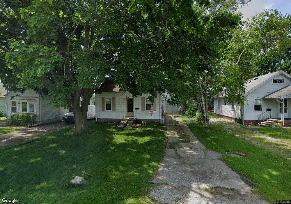
1512 Groll Dr Oregon, OH 43616
Estimated Value: $85,000 - $107,073
2
Beds
1
Bath
768
Sq Ft
$125/Sq Ft
Est. Value
About This Home
This home is located at 1512 Groll Dr, Oregon, OH 43616 and is currently estimated at $95,768, approximately $124 per square foot. 1512 Groll Dr is a home located in Lucas County with nearby schools including St. Kateri Catholic Schools and Kateri Catholic Academy.
Ownership History
Date
Name
Owned For
Owner Type
Purchase Details
Closed on
Oct 10, 2025
Sold by
Kaplan Rodney
Bought by
Poitinger Edmund J and Poitinger Tia M
Current Estimated Value
Home Financials for this Owner
Home Financials are based on the most recent Mortgage that was taken out on this home.
Original Mortgage
$73,400
Outstanding Balance
$73,400
Interest Rate
5.88%
Mortgage Type
New Conventional
Estimated Equity
$22,368
Purchase Details
Closed on
Mar 29, 1991
Purchase Details
Closed on
Nov 3, 1989
Sold by
Cornett W W and F W
Create a Home Valuation Report for This Property
The Home Valuation Report is an in-depth analysis detailing your home's value as well as a comparison with similar homes in the area
Home Values in the Area
Average Home Value in this Area
Purchase History
| Date | Buyer | Sale Price | Title Company |
|---|---|---|---|
| Poitinger Edmund J | $93,000 | None Listed On Document | |
| -- | $18,000 | -- | |
| -- | $36,000 | -- |
Source: Public Records
Mortgage History
| Date | Status | Borrower | Loan Amount |
|---|---|---|---|
| Open | Poitinger Edmund J | $73,400 |
Source: Public Records
Tax History
| Year | Tax Paid | Tax Assessment Tax Assessment Total Assessment is a certain percentage of the fair market value that is determined by local assessors to be the total taxable value of land and additions on the property. | Land | Improvement |
|---|---|---|---|---|
| 2025 | -- | $31,745 | $4,690 | $27,055 |
| 2024 | $760 | $31,745 | $4,690 | $27,055 |
| 2023 | $1,310 | $23,275 | $3,920 | $19,355 |
| 2022 | $1,319 | $23,275 | $3,920 | $19,355 |
| 2021 | $1,329 | $23,275 | $3,920 | $19,355 |
| 2020 | $1,241 | $19,285 | $3,220 | $16,065 |
| 2019 | $1,206 | $19,285 | $3,220 | $16,065 |
| 2018 | $1,187 | $19,285 | $3,220 | $16,065 |
| 2017 | $1,196 | $17,920 | $3,255 | $14,665 |
| 2016 | $1,181 | $51,200 | $9,300 | $41,900 |
| 2015 | $1,173 | $51,200 | $9,300 | $41,900 |
| 2014 | $1,071 | $17,580 | $3,190 | $14,390 |
| 2013 | $1,071 | $17,580 | $3,190 | $14,390 |
Source: Public Records
Map
Nearby Homes
- 1466 Sunshine St
- 1464 Sunshine St
- 2011 Oakdale Ave
- 2249 Pickle Rd
- 2432 Rochester Place
- 230 Ritter Ave
- 1531 Freedom St
- 1532 Liberty St
- 1512 Vinal St
- 1508 Albert St
- 1130 Earlwood Ave
- 1043 Lakeside Ln
- 1401 Liberty St
- 2074 Price St
- 3517 Goodrich Ave
- 1303 Albert St
- 1219 Crystal St
- 1134 Laura Ln
- 1122 Vinal St
- 2157 Nevada St
Your Personal Tour Guide
Ask me questions while you tour the home.