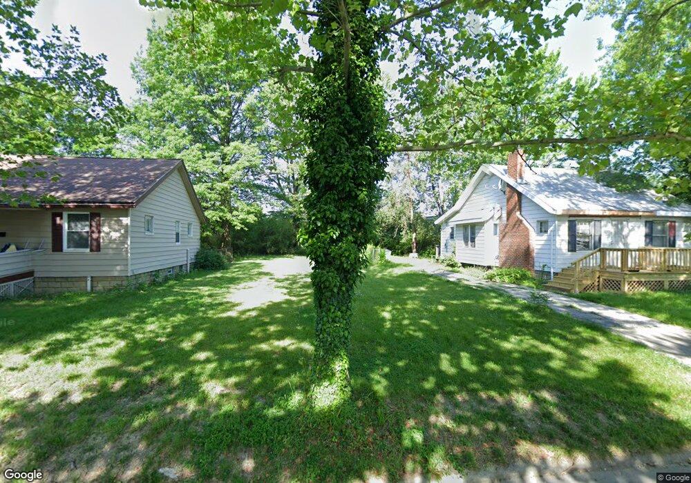
1514 E 219th St Euclid, OH 44117
Estimated Value: $145,441
About This Home
This home is located at 1514 E 219th St, Euclid, OH 44117 and is currently estimated at $145,441, approximately $173 per square foot. 1514 E 219th St is a home located in Cuyahoga County with nearby schools including Bluestone Elementary School, Euclid Middle School, and Euclid High School.
Ownership History
We collect this data history from publicly available records. To have your information removed, we recommend requesting removal directly through your county’s website.
Purchase Details
Purchase Details
Purchase Details
Purchase Details
Purchase Details
Home Financials for this Owner
Home Financials are based on the most recent Mortgage that was taken out on this home.Purchase Details
Home Financials for this Owner
Home Financials are based on the most recent Mortgage that was taken out on this home.Purchase Details
Purchase Details
Purchase Details
Purchase Details
Home Values in the Area
Average Home Value in this Area
Purchase History
We collect this data history from publicly available records. To have your information removed, we recommend requesting removal directly through your county’s website.
| Date | Buyer | Sale Price | Title Company |
|---|---|---|---|
| -- | None Available | ||
| -- | Attorney | ||
| -- | Attorney | ||
| $16,667 | Attorney | ||
| $74,700 | Executive Title Agency Corp | ||
| $40,000 | National Title Agency | ||
| $35,000 | -- | ||
| $44,500 | -- | ||
| $27,900 | -- | ||
| -- | -- |
Mortgage History
We collect this data history from publicly available records. To have your information removed, we recommend requesting removal directly through your county’s website.
| Date | Status | Borrower | Loan Amount |
|---|---|---|---|
| Previous Owner | $74,450 | ||
| Previous Owner | $32,000 |
Tax History
We collect this data history from publicly available records. To have your information removed, we recommend requesting removal directly through your county’s website.
| Year | Tax Paid | Tax Assessment Tax Assessment Total Assessment is a certain percentage of the fair market value that is determined by local assessors to be the total taxable value of land and additions on the property. | Land | Improvement |
|---|---|---|---|---|
| 2025 | -- | $3,990 | $3,990 | -- |
| 2024 | -- | $3,990 | $3,990 | -- |
| 2022 | $0 | $3,990 | $3,990 | $0 |
| 2021 | $0 | $3,990 | $3,990 | $0 |
Map
- 1524 E 221st St
- 1537 E 214th St
- 1545 E 214th St
- 1401 E 219th St
- 1379 E 219th St
- 1434 E 222nd St
- 2030 E 228th St
- VL E 238th St
- 1765 E 238th St
- 24105 Chardon Rd
- 20051 Hillcrest Dr
- 19009 Firwood Rd
- 19806 Shawnee Ave
- 19003 Firwood Rd
- 22530 Harms Rd
- 924 E 214th St
- 856 E 210th St
- 811 E 212th St
- 24201 Yosemite Dr
- 927 E 216th St
- 1510 E 219th St
- 1520 E 219th St
- 1530 E 219th St
- 1521 E 219th St
- 1513 E 219th St
- 1525 E 219th St
- 1509 E 219th St
- 1550 E 219th St
- 1505 E 219th St
- 1541 E 219th St
- 1562 E 219th St
- 1495 E 219th St
- 1491 E 219th St
- 1545 E 219th St
- 1566 E 219th St
- 1530 E 221st St
- 1540 E 221st St
- 1520 E 221st St
- 1485 E 219th St
- 1551 E 219th St
Ask me questions while you tour the home.