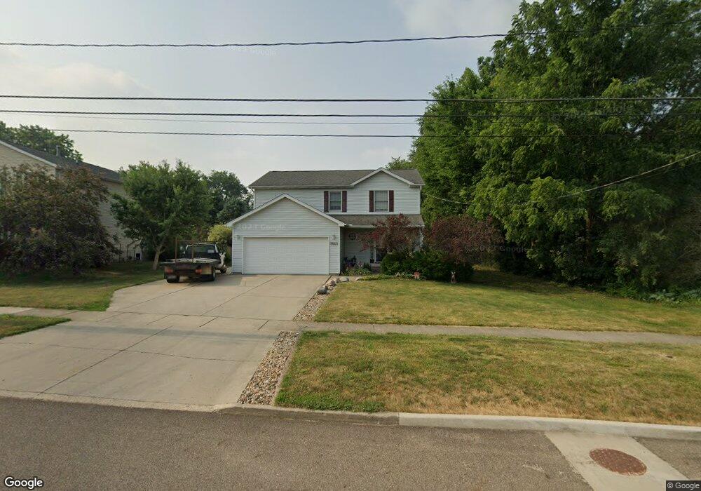
1516 Forrest St Bloomington, IL 61701
Estimated Value: $225,000 - $252,000
3
Beds
2
Baths
1,836
Sq Ft
$128/Sq Ft
Est. Value
About This Home
This home is located at 1516 Forrest St, Bloomington, IL 61701 and is currently estimated at $235,159, approximately $128 per square foot. 1516 Forrest St is a home located in McLean County with nearby schools including Sheridan Elementary School, Bloomington Junior High School, and Bloomington High School.
Ownership History
Date
Name
Owned For
Owner Type
Purchase Details
Closed on
Mar 22, 2017
Sold by
Parmele Ryan C and Parmele Nicole L
Bought by
Parmele Nicole L
Current Estimated Value
Purchase Details
Closed on
Jun 2, 2005
Sold by
Wagenbach Lavonne and Hofsess Mary Alyce
Bought by
Witzig Jerome L
Purchase Details
Closed on
Feb 23, 2005
Sold by
Reevers Greg A and Reevers Michelle M
Bought by
Schenk Nicole L
Home Financials for this Owner
Home Financials are based on the most recent Mortgage that was taken out on this home.
Original Mortgage
$75,000
Interest Rate
5.7%
Mortgage Type
New Conventional
Create a Home Valuation Report for This Property
The Home Valuation Report is an in-depth analysis detailing your home's value as well as a comparison with similar homes in the area
Purchase History
| Date | Buyer | Sale Price | Title Company |
|---|---|---|---|
| Parmele Nicole L | -- | None Available | |
| Witzig Jerome L | -- | None Available | |
| Schenk Nicole L | $159,500 | None Available |
Source: Public Records
Mortgage History
| Date | Status | Borrower | Loan Amount |
|---|---|---|---|
| Previous Owner | Schenk Nicole L | $75,000 |
Source: Public Records
Tax History
| Year | Tax Paid | Tax Assessment Tax Assessment Total Assessment is a certain percentage of the fair market value that is determined by local assessors to be the total taxable value of land and additions on the property. | Land | Improvement |
|---|---|---|---|---|
| 2025 | $4,243 | $58,333 | $18,545 | $39,788 |
| 2024 | $4,672 | $58,333 | $17,607 | $40,726 |
| 2022 | $4,672 | $60,973 | $14,759 | $46,214 |
| 2021 | $4,234 | $55,817 | $13,511 | $42,306 |
| 2020 | $4,223 | $55,817 | $13,511 | $42,306 |
| 2019 | $4,130 | $54,868 | $13,281 | $41,587 |
| 2018 | $3,978 | $53,270 | $12,894 | $40,376 |
| 2017 | $3,866 | $51,920 | $12,567 | $39,353 |
| 2016 | $3,859 | $51,920 | $12,567 | $39,353 |
| 2015 | $3,791 | $51,234 | $12,401 | $38,833 |
| 2014 | $3,670 | $51,234 | $12,401 | $38,833 |
| 2013 | -- | $53,092 | $12,851 | $40,241 |
Source: Public Records
Map
Nearby Homes
- 39 Oak Park Rd
- 805 N Morris Ave
- 1209 W Market St
- 910 N Mason St
- Lot 8 Emeline St
- 1215 Wall St
- 1615 Fairfield Dr
- 810 W Market St
- 1309 N Lee St
- 603 W Chestnut St
- 806 W Market St
- 1003 N Lee St
- 919 N Lee St
- 813 Highpoint Rd
- 1702 W Hovey Ave
- 708 N Lee St
- 1301 W Grove St
- 712 N Roosevelt Ave
- 212 W Division St
- 805 S Grove St
- 1514 Forrest St
- 1520 Forrest St
- 1312 N Hinshaw Ave
- 1314 N Hinshaw Ave
- 1517 Forrest St
- 1515 Forrest St
- 1519 Forrest St
- 1511 Forrest St
- 1511 Forrest St
- 1513 Forrest St
- 1511 W Forrest St
- 1302 N Hinshaw Ave
- 1509 Forrest St
- 1210 N Hinshaw Ave
- 1305 N Hinshaw Ave
- 1507 Forrest St
- 1208 N Hinshaw Ave
- 1303 N Hinshaw Ave
- 1505 Perry St
- 1504 Forrest St
Your Personal Tour Guide
Ask me questions while you tour the home.