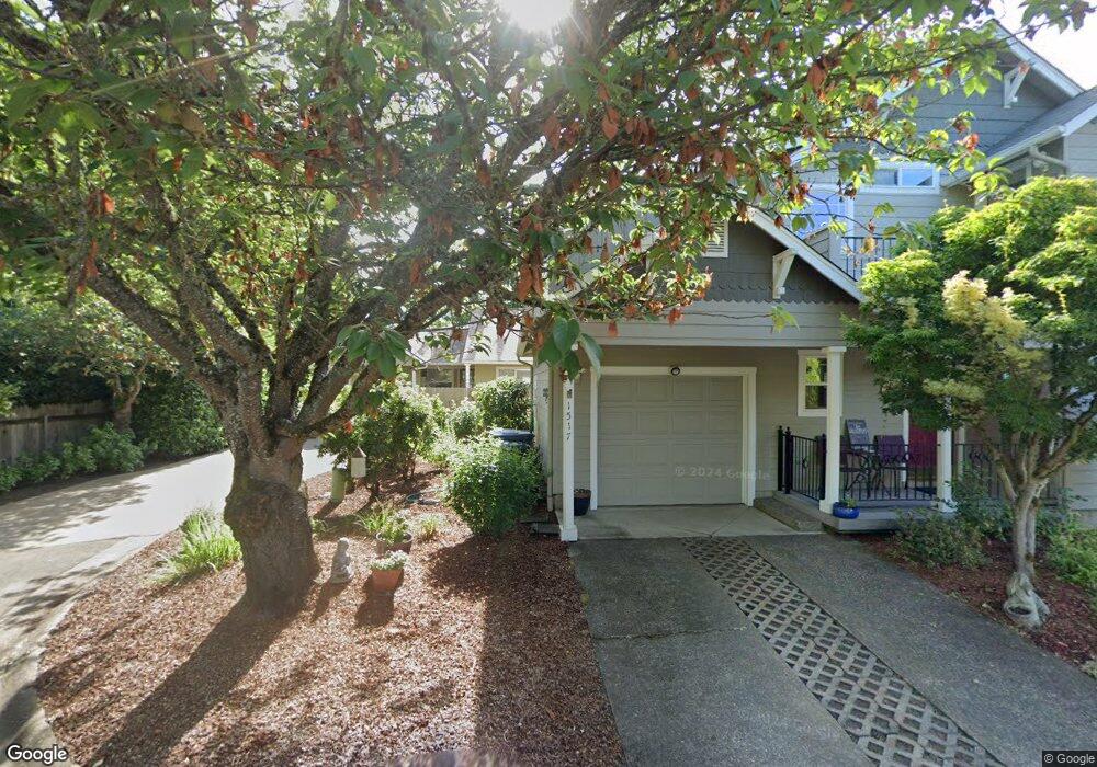
1519 Bogart Ln Eugene, OR 97401
Harlow NeighborhoodEstimated Value: $434,000 - $553,000
3
Beds
2
Baths
1,286
Sq Ft
$369/Sq Ft
Est. Value
About This Home
This home is located at 1519 Bogart Ln, Eugene, OR 97401 and is currently estimated at $474,318, approximately $368 per square foot. 1519 Bogart Ln is a home located in Lane County with nearby schools including Holt Elementary School, Monroe Middle School, and Sheldon High School.
Ownership History
Date
Name
Owned For
Owner Type
Purchase Details
Closed on
Apr 19, 2004
Sold by
Thomas Emma
Bought by
Thomas Johnny Paul and Thomas Betty Joan
Current Estimated Value
Purchase Details
Closed on
Jul 20, 1999
Sold by
Adkins Mark L
Bought by
Ipsen Carol Marie
Purchase Details
Closed on
Jun 25, 1999
Sold by
Adkins Mark L
Bought by
Adkins Mark L and Adkins Elena M
Create a Home Valuation Report for This Property
The Home Valuation Report is an in-depth analysis detailing your home's value as well as a comparison with similar homes in the area
Home Values in the Area
Average Home Value in this Area
Purchase History
We collect this data history from publicly available records. To have your information removed, we recommend requesting removal directly through your county’s website.
| Date | Buyer | Sale Price | Title Company |
|---|---|---|---|
| Thomas Johnny Paul | -- | -- | |
| Ipsen Carol Marie | $165,000 | Western Pioneer Title Co | |
| Adkins Mark L | -- | -- |
Source: Public Records
Tax History
| Year | Tax Paid | Tax Assessment Tax Assessment Total Assessment is a certain percentage of the fair market value that is determined by local assessors to be the total taxable value of land and additions on the property. | Land | Improvement |
|---|---|---|---|---|
| 2025 | $2,525 | $129,587 | -- | -- |
| 2024 | $2,493 | $125,813 | -- | -- |
| 2023 | $2,493 | $122,149 | $0 | $0 |
| 2022 | $2,336 | $118,592 | $0 | $0 |
| 2021 | $2,194 | $115,138 | $0 | $0 |
| 2020 | $2,202 | $111,785 | $0 | $0 |
| 2019 | $2,126 | $108,530 | $0 | $0 |
| 2018 | $2,002 | $102,300 | $0 | $0 |
| 2017 | $1,912 | $102,300 | $0 | $0 |
| 2016 | $1,865 | $99,320 | $0 | $0 |
| 2015 | $1,811 | $96,427 | $0 | $0 |
| 2014 | $1,774 | $204,437 | $0 | $0 |
Source: Public Records
Map
Nearby Homes
- 1564 Regency Dr
- 0 Sprig Ln Unit Lot 3
- 0 Sprig Ln Unit Lot 3 766109892
- 1625 Victorian Way
- 3387 Winchester Way
- 1630 Ridgley Blvd
- 3424 Sussex St
- 3381 Rosemont Way
- 1798 Duke Ct
- 2956 Willakenzie Rd
- 3528 Berkshire St
- 1271 Arcadia Dr
- 1050 President St
- 3700 Babcock Ln Unit 87
- 825 Waverly St
- 3735 Harlow Rd
- 2580 Elysium Ave
- 2577 Elysium Ave
- 950 Coburg Rd
- 654 N Garden Way
- 1517 Bogart Ln
- 3226 Willakenzie Rd
- 3228 Willakenzie Rd
- 1544 Victorian Way
- 3224 Willakenzie Rd
- 1465 Barrington Ave
- 1522 Victorian Way
- 3230 Willakenzie Rd
- 1459 Barrington Ave
- 1471 Barrington Ave
- 1515 Bogart Ln
- 3232 Willakenzie Rd
- 1566 Victorian Way
- 1513 Bogart Ln
- 1500 Victorian Way
- 3234 Willakenzie Rd
- 3222 Willakenzie Rd
- 1477 Barrington Ave
- 1453 Barrington Ave
- 3220 Willakenzie Rd
Your Personal Tour Guide
Ask me questions while you tour the home.