Estimated Value: $278,000 - $432,000
3
Beds
3
Baths
1,686
Sq Ft
$192/Sq Ft
Est. Value
About This Home
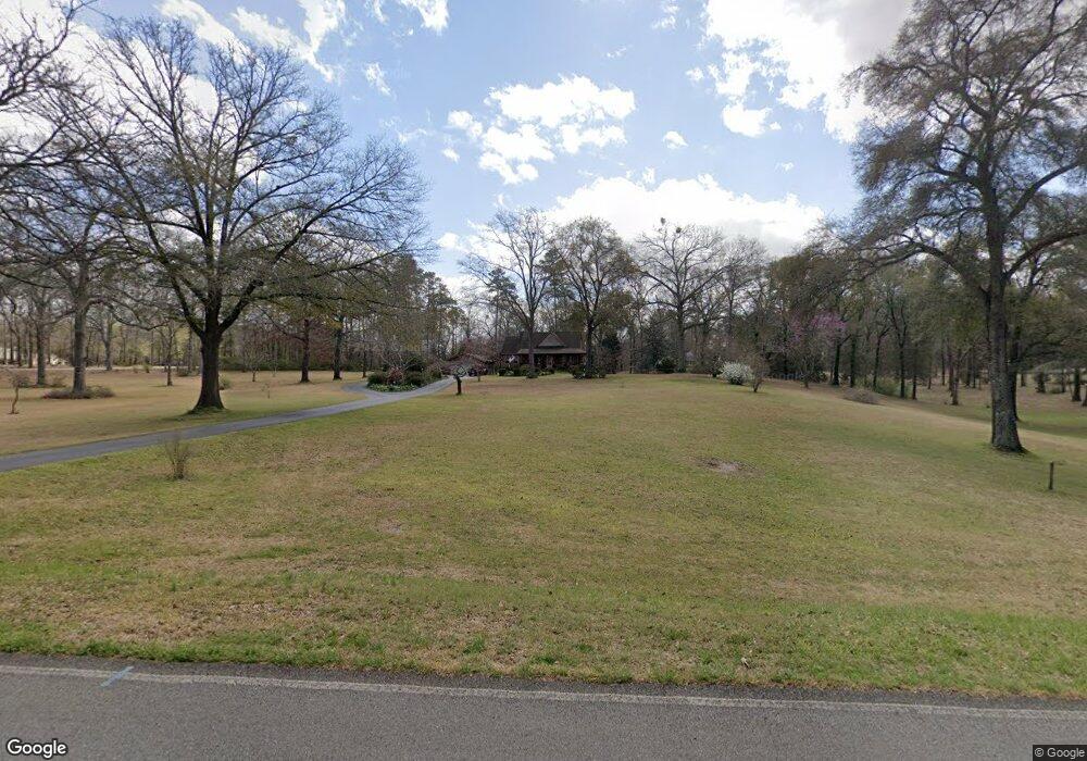
This home is located at 152 41 Cir, Perry, GA 31069 and is currently estimated at $323,387, approximately $191 per square foot. 152 41 Cir is a home located in Houston County with nearby schools including Langston Road Elementary School, Mossy Creek Middle School, and Perry High School.
Ownership History
Date
Name
Owned For
Owner Type
Purchase Details
Closed on
Jan 11, 1983
Sold by
Lower Edwina Gale
Bought by
Lower Lon A
Current Estimated Value
Purchase Details
Closed on
Dec 6, 1977
Sold by
Hopper David L
Bought by
Lower Lon A
Purchase Details
Closed on
Apr 24, 1975
Sold by
Horne James S
Bought by
Hopper David L
Purchase Details
Closed on
Jul 10, 1973
Sold by
Smith B L Etal
Bought by
Horne James S
Create a Home Valuation Report for This Property
The Home Valuation Report is an in-depth analysis detailing your home's value as well as a comparison with similar homes in the area
Home Values in the Area
Average Home Value in this Area
Purchase History
| Date | Buyer | Sale Price | Title Company |
|---|---|---|---|
| Lower Lon A | -- | -- | |
| Lower Lon A | -- | -- | |
| Hopper David L | -- | -- | |
| Horne James S | -- | -- |
Source: Public Records
Tax History
| Year | Tax Paid | Tax Assessment Tax Assessment Total Assessment is a certain percentage of the fair market value that is determined by local assessors to be the total taxable value of land and additions on the property. | Land | Improvement |
|---|---|---|---|---|
| 2025 | $2,182 | $117,120 | $47,000 | $70,120 |
| 2024 | $1,907 | $81,720 | $18,760 | $62,960 |
| 2023 | $1,658 | $70,600 | $18,760 | $51,840 |
| 2022 | $1,554 | $66,280 | $18,760 | $47,520 |
| 2021 | $1,501 | $63,800 | $18,760 | $45,040 |
| 2020 | $1,549 | $63,320 | $18,760 | $44,560 |
| 2019 | $1,497 | $63,320 | $18,760 | $44,560 |
| 2018 | $1,373 | $58,240 | $13,680 | $44,560 |
| 2017 | $1,374 | $58,240 | $13,680 | $44,560 |
| 2016 | $1,376 | $58,240 | $13,680 | $44,560 |
| 2015 | $1,379 | $58,240 | $13,680 | $44,560 |
| 2014 | -- | $58,240 | $13,680 | $44,560 |
| 2013 | -- | $58,720 | $13,680 | $45,040 |
Source: Public Records
Map
Nearby Homes
- 108 Tahoma Dr
- 204 Greylock Dr
- 502 Arons Ct
- 113 Lake Lillian Dr
- 501 Longhorn Trail
- 2327 Us Hwy 41
- 115 Woody Dr
- 108 Chimney Rock Rd
- 105 Senimor Ct
- 127 Bramblewood Ln
- 117 Bramblewood Ln
- 119 Bramblewood Ln
- 115 Bramblewood Ln
- 111 Breakwater Way
- 309 Bermuda Ridge
- 118 Bramblewood Way
- 210 Overton Dr
- 211 Sugar Creek Trail
- 210 Sugar Creek Trail
- 209 Sugar Creek Trail
Your Personal Tour Guide
Ask me questions while you tour the home.