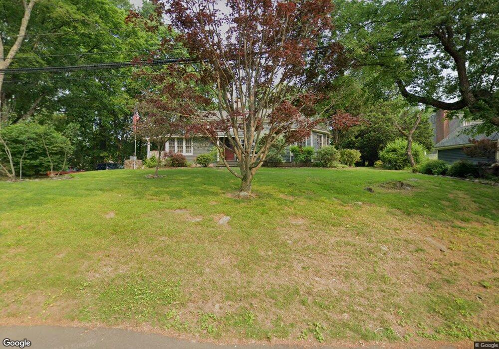
152 Brookside Dr Fairfield, CT 06824
University NeighborhoodEstimated Value: $822,000 - $1,214,000
About This Home
This home is located at 152 Brookside Dr, Fairfield, CT 06824 and is currently estimated at $1,029,130, approximately $544 per square foot. 152 Brookside Dr is a home located in Fairfield County with nearby schools including Osborn Hill Elementary School, Fairfield Woods Middle School, and Fairfield Ludlowe High School.
Ownership History
We collect this data history from publicly available records. To have your information removed, we recommend requesting removal directly through your county’s website.
Purchase Details
Purchase Details
Home Values in the Area
Average Home Value in this Area
Purchase History
We collect this data history from publicly available records. To have your information removed, we recommend requesting removal directly through your county’s website.
| Date | Buyer | Sale Price | Title Company |
|---|---|---|---|
| $200,000 | -- | ||
| $232,000 | -- |
Tax History
We collect this data history from publicly available records. To have your information removed, we recommend requesting removal directly through your county’s website.
| Year | Tax Paid | Tax Assessment Tax Assessment Total Assessment is a certain percentage of the fair market value that is determined by local assessors to be the total taxable value of land and additions on the property. | Land | Improvement |
|---|---|---|---|---|
| 2025 | $11,155 | $392,910 | $271,040 | $121,870 |
| 2024 | $10,962 | $392,910 | $271,040 | $121,870 |
| 2023 | $10,809 | $392,910 | $271,040 | $121,870 |
| 2022 | $10,512 | $385,910 | $271,040 | $114,870 |
| 2021 | $10,412 | $385,910 | $271,040 | $114,870 |
| 2020 | $9,530 | $355,740 | $222,670 | $133,070 |
| 2019 | $9,530 | $355,740 | $222,670 | $133,070 |
| 2018 | $9,377 | $355,740 | $222,670 | $133,070 |
| 2017 | $9,185 | $355,740 | $222,670 | $133,070 |
| 2016 | $9,054 | $355,740 | $222,670 | $133,070 |
| 2015 | $6,771 | $273,140 | $184,170 | $88,970 |
| 2014 | $6,665 | $273,140 | $184,170 | $88,970 |
Map
- 439 Stillson Rd
- 130 Stillson Rd
- 475 Springer Rd
- 190 Sasapequan Rd
- 45 Pheasant Ln
- 251 Shelter Rock Rd
- 265 Shelter Rock Rd
- 43 Green Knolls Ln
- 485 Mountain Laurel Rd
- 163 Windsor Rd
- 469 Woodridge Ave
- 75 Centerbrook Rd
- 1185 Stillson Rd
- 529 Burroughs Rd
- 1964 N Benson Rd
- 280 Tuckahoe Ln
- 73 Oxbow Rd
- 126 Homefair Dr
- 127 Moritz Place
- 52 Robin Ln
Ask me questions while you tour the home.