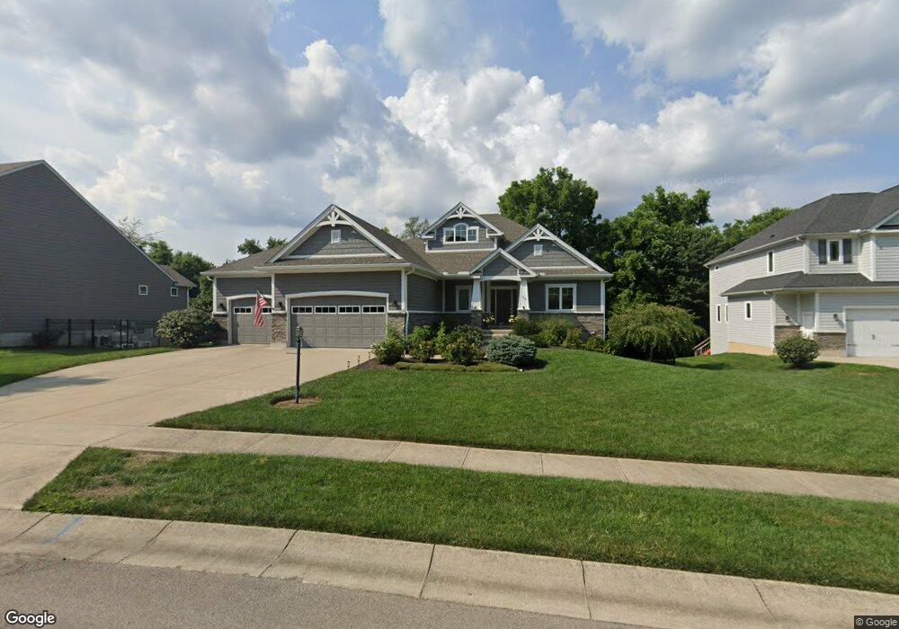
152 Cariese Dr Springboro, OH 45066
Estimated Value: $684,532 - $762,000
4
Beds
4
Baths
4,276
Sq Ft
$169/Sq Ft
Est. Value
About This Home
This home is located at 152 Cariese Dr, Springboro, OH 45066 and is currently estimated at $722,633, approximately $168 per square foot. 152 Cariese Dr is a home located in Warren County with nearby schools including Clearcreek Elementary School, Dennis Elementary School, and Springboro Intermediate School.
Ownership History
Date
Name
Owned For
Owner Type
Purchase Details
Closed on
Jul 1, 2021
Sold by
Pfiffner Eric and Pfiffner Kelli
Bought by
Norvell Claire B and Dunn Bruce S
Current Estimated Value
Home Financials for this Owner
Home Financials are based on the most recent Mortgage that was taken out on this home.
Original Mortgage
$460,000
Outstanding Balance
$339,984
Interest Rate
2.9%
Mortgage Type
New Conventional
Estimated Equity
$382,649
Purchase Details
Closed on
Sep 26, 2016
Sold by
Doliboa Seth D and Doliboa Ashley B
Bought by
Pfiffner Eric and Pfiffner Kelli
Purchase Details
Closed on
Jun 22, 2015
Sold by
Music Limited Partnership
Bought by
Doliboa Seth D
Create a Home Valuation Report for This Property
The Home Valuation Report is an in-depth analysis detailing your home's value as well as a comparison with similar homes in the area
Home Values in the Area
Average Home Value in this Area
Purchase History
| Date | Buyer | Sale Price | Title Company |
|---|---|---|---|
| Norvell Claire B | $575,000 | Landmark Title Agency Inc | |
| Pfiffner Eric | $467,000 | Attorney | |
| Doliboa Seth D | -- | None Available |
Source: Public Records
Mortgage History
| Date | Status | Borrower | Loan Amount |
|---|---|---|---|
| Open | Norvell Claire B | $460,000 |
Source: Public Records
Tax History
| Year | Tax Paid | Tax Assessment Tax Assessment Total Assessment is a certain percentage of the fair market value that is determined by local assessors to be the total taxable value of land and additions on the property. | Land | Improvement |
|---|---|---|---|---|
| 2025 | $8,758 | $224,260 | $35,000 | $189,260 |
| 2024 | $8,758 | $224,260 | $35,000 | $189,260 |
| 2023 | $7,650 | $179,641 | $25,707 | $153,933 |
| 2022 | $7,537 | $179,641 | $25,708 | $153,934 |
| 2021 | $7,014 | $179,641 | $25,708 | $153,934 |
| 2020 | $7,100 | $158,974 | $22,750 | $136,224 |
| 2019 | $6,546 | $158,974 | $22,750 | $136,224 |
| 2018 | $6,551 | $158,974 | $22,750 | $136,224 |
| 2017 | $6,615 | $144,582 | $22,414 | $122,168 |
| 2016 | $5,441 | $114,037 | $22,414 | $91,623 |
| 2015 | $738 | $15,019 | $15,019 | $0 |
| 2014 | $729 | $14,040 | $14,040 | $0 |
| 2013 | $728 | $16,420 | $16,420 | $0 |
Source: Public Records
Map
Nearby Homes
- 130 Heatherwoode Cir
- 39 Glasgow St
- 25 Morris St
- 79 Glasgow St
- 79 Glasgow St Unit 40
- 555 Heatherwoode Cir
- 20 Inverness Ct
- 48 Dinsley Place
- 240 Bailey Ln
- 130 Wells Dr
- 225 Tilly Ct
- 230 Tilly Ct Unit 4
- 270 Tilly Ct
- 250 Tilly Ct Unit 6
- 240 Tilly Ct
- 285 Tilly Ct
- 230 Tilly Ct
- 275 Tilly Ct
- 275 Tilly Ct Unit 12
- 250 Tilly Ct
Your Personal Tour Guide
Ask me questions while you tour the home.