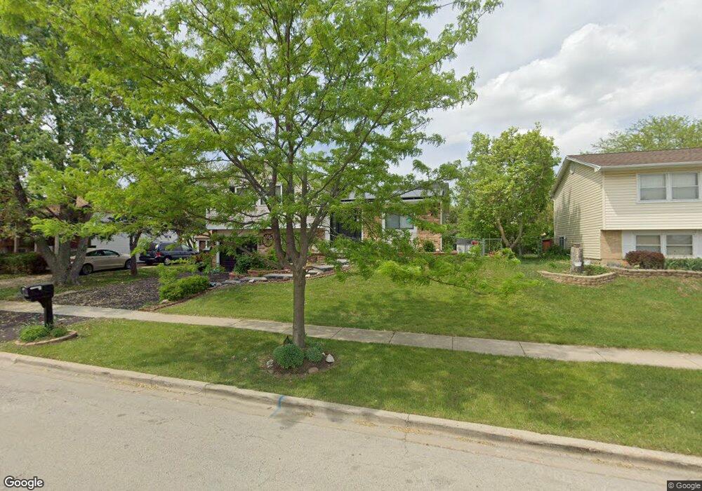
152 E Stevenson Dr Glendale Heights, IL 60139
Estimated Value: $311,000 - $336,517
3
Beds
2
Baths
1,505
Sq Ft
$218/Sq Ft
Est. Value
About This Home
This home is located at 152 E Stevenson Dr, Glendale Heights, IL 60139 and is currently estimated at $327,629, approximately $217 per square foot. 152 E Stevenson Dr is a home located in DuPage County with nearby schools including Americana Intermediate School, Glenside Middle School, and Glenbard North High School.
Ownership History
Date
Name
Owned For
Owner Type
Purchase Details
Closed on
Dec 31, 2007
Sold by
Banuelos Javier
Bought by
Banuelos Margarita
Current Estimated Value
Purchase Details
Closed on
Nov 2, 2000
Sold by
Oboyle John J and Oboyle Lisa M
Bought by
Banuelos Javier
Home Financials for this Owner
Home Financials are based on the most recent Mortgage that was taken out on this home.
Original Mortgage
$151,875
Outstanding Balance
$56,282
Interest Rate
7.96%
Mortgage Type
Stand Alone First
Estimated Equity
$271,347
Purchase Details
Closed on
Oct 13, 1994
Sold by
Sanchez Rufino D and Sanchez Cynthia C
Bought by
Oboyle John J and Oboyle Lisa M
Home Financials for this Owner
Home Financials are based on the most recent Mortgage that was taken out on this home.
Original Mortgage
$109,800
Interest Rate
8.53%
Create a Home Valuation Report for This Property
The Home Valuation Report is an in-depth analysis detailing your home's value as well as a comparison with similar homes in the area
Home Values in the Area
Average Home Value in this Area
Purchase History
We collect this data history from publicly available records. To have your information removed, we recommend requesting removal directly through your county’s website.
| Date | Buyer | Sale Price | Title Company |
|---|---|---|---|
| Banuelos Margarita | -- | None Available | |
| Banuelos Javier | $162,000 | -- | |
| Oboyle John J | $122,000 | Attorneys Natl Title Network |
Source: Public Records
Mortgage History
We collect this data history from publicly available records. To have your information removed, we recommend requesting removal directly through your county’s website.
| Date | Status | Borrower | Loan Amount |
|---|---|---|---|
| Open | Banuelos Javier | $151,875 | |
| Previous Owner | Oboyle John J | $109,800 |
Source: Public Records
Tax History
| Year | Tax Paid | Tax Assessment Tax Assessment Total Assessment is a certain percentage of the fair market value that is determined by local assessors to be the total taxable value of land and additions on the property. | Land | Improvement |
|---|---|---|---|---|
| 2024 | $7,994 | $95,376 | $24,637 | $70,739 |
| 2023 | $7,713 | $87,220 | $22,530 | $64,690 |
| 2022 | $7,653 | $82,270 | $22,020 | $60,250 |
| 2021 | $7,239 | $78,160 | $20,920 | $57,240 |
| 2020 | $6,967 | $76,250 | $20,410 | $55,840 |
| 2019 | $6,743 | $73,270 | $19,610 | $53,660 |
| 2018 | $6,798 | $66,440 | $19,110 | $47,330 |
| 2017 | $6,593 | $61,580 | $17,710 | $43,870 |
| 2016 | $6,338 | $56,990 | $16,390 | $40,600 |
| 2015 | $6,218 | $53,180 | $15,290 | $37,890 |
| 2014 | $6,738 | $56,690 | $16,300 | $40,390 |
| 2013 | $6,650 | $58,630 | $16,860 | $41,770 |
Source: Public Records
Map
Nearby Homes
- 1673 Bloomingdale Rd
- 1754 Hemlock Dr
- 88 Hesterman Dr
- 39 Dennison Dr
- 89 W Schubert Ave
- 2021 Cypress Ct
- 2022 Cardinal Dr Unit 3
- 404 E Lincoln Ave
- 119 Garland Ct
- 440 E Fullerton Ave
- 150 E Lake Ridge Dr Unit 101
- 538 Harold Ave
- 139 E Lake Ridge Dr Unit 16
- 349 E Roland Dr
- 289 Barclay Dr
- 2208 Lake Ridge Dr Unit 97
- 381 Thorncliffe Dr Unit 7
- 1390 Glen Hill Dr
- 400 Cardinal Dr
- 1441 Greens Ct Unit B
- 158 E Stevenson Dr
- 148 E Stevenson Dr
- 162 E Stevenson Dr
- 142 E Stevenson Dr
- 155 Poplar St
- 157 E Stevenson Dr
- 138 E Stevenson Dr
- 168 E Stevenson Dr
- 154 Poplar St
- 1788 Frank Ct
- 172 E Stevenson Dr
- 132 E Stevenson Dr
- 151 Poplar St
- 137 E Stevenson Dr
- 1782 Frank Ct
- 148 Poplar St
- 171 E Stevenson Dr
- 1787 Mimosa Ct
- 128 E Stevenson Dr
- 147 Poplar St
Your Personal Tour Guide
Ask me questions while you tour the home.