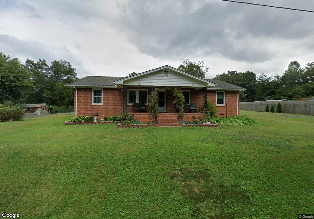
152 Lynn Rd Mount Airy, NC 27030
Mount Airy AreaEstimated Value: $232,888 - $255,000
About This Home
This home is located at 152 Lynn Rd, Mount Airy, NC 27030 and is currently estimated at $243,222, approximately $129 per square foot. 152 Lynn Rd is a home located in Surry County with nearby schools including Bruce H. Tharrington Elementary School, Jones Intermediate School, and Mount Airy Middle School.
Ownership History
We collect this data history from publicly available records. To have your information removed, we recommend requesting removal directly through your county’s website.
Purchase Details
Purchase Details
Purchase Details
Purchase Details
Purchase History
We collect this data history from publicly available records. To have your information removed, we recommend requesting removal directly through your county’s website.
| Date | Buyer | Sale Price | Title Company |
|---|---|---|---|
| -- | None Listed On Document | ||
| $104,000 | None Available | ||
| -- | -- | ||
| -- | -- |
Mortgage History
We collect this data history from publicly available records. To have your information removed, we recommend requesting removal directly through your county’s website.
| Date | Status | Borrower | Loan Amount |
|---|---|---|---|
| Previous Owner | $3,135 |
Tax History
We collect this data history from publicly available records. To have your information removed, we recommend requesting removal directly through your county’s website.
| Year | Tax Paid | Tax Assessment Tax Assessment Total Assessment is a certain percentage of the fair market value that is determined by local assessors to be the total taxable value of land and additions on the property. | Land | Improvement |
|---|---|---|---|---|
| 2025 | $897 | $123,450 | $16,800 | $106,650 |
| 2024 | $774 | $99,880 | $16,800 | $83,080 |
| 2023 | $763 | $99,880 | $16,800 | $83,080 |
| 2022 | $763 | $99,880 | $16,800 | $83,080 |
| 2021 | $774 | $99,880 | $16,800 | $83,080 |
| 2020 | $757 | $94,090 | $16,800 | $77,290 |
| 2019 | $754 | $94,090 | $0 | $0 |
| 2018 | $753 | $94,090 | $0 | $0 |
| 2017 | $751 | $94,090 | $0 | $0 |
| 2016 | $742 | $94,090 | $0 | $0 |
| 2013 | -- | $92,220 | $0 | $0 |
Map
- 155 Hilda Dr
- 2183 Westfield Rd
- 166 Town Ln
- 000 Eagle Ln
- 268 Smith Ln
- 1919 Westfield Rd
- 114 Meadow Stone Ln
- 2767 Westfield Rd
- 185 Southview St
- 110 Dunwoody Ln
- 124 Rocky Ln
- 153 Green St
- 125 Cabin Ln
- 117 Mcbride Rd
- 226 Hamburg St
- 845 Linville Rd
- 101 Bitting Ave
- 1007 S Main St
- 172 Poteat Rd
- 529 E Devon Dr
Ask me questions while you tour the home.