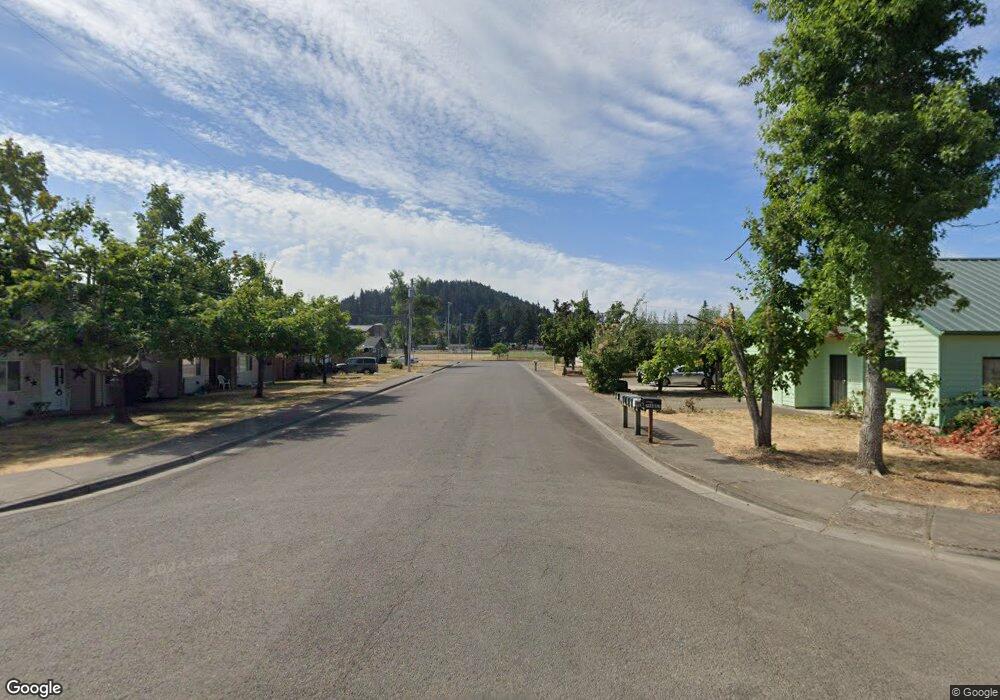
152 W B St Creswell, OR 97426
Estimated Value: $388,000 - $419,000
About This Home
This home is located at 152 W B St, Creswell, OR 97426 and is currently estimated at $399,526, approximately $261 per square foot. 152 W B St is a home located in Lane County with nearby schools including Creslane Elementary School, Creswell Middle School, and Creswell High School.
Ownership History
We collect this data history from publicly available records. To have your information removed, we recommend requesting removal directly through your county’s website.
Purchase Details
Home Financials for this Owner
Home Financials are based on the most recent Mortgage that was taken out on this home.Purchase Details
Purchase Details
Purchase Details
Home Financials for this Owner
Home Financials are based on the most recent Mortgage that was taken out on this home.Purchase Details
Purchase Details
Home Financials for this Owner
Home Financials are based on the most recent Mortgage that was taken out on this home.Purchase Details
Home Financials for this Owner
Home Financials are based on the most recent Mortgage that was taken out on this home.Home Values in the Area
Average Home Value in this Area
Purchase History
We collect this data history from publicly available records. To have your information removed, we recommend requesting removal directly through your county’s website.
| Date | Buyer | Sale Price | Title Company |
|---|---|---|---|
| $275,000 | Western Title & Escrow | ||
| -- | None Available | ||
| -- | First American | ||
| -- | First American | ||
| -- | -- | ||
| -- | Western Pioneer Title | ||
| $115,000 | Western Pioneer Title |
Mortgage History
We collect this data history from publicly available records. To have your information removed, we recommend requesting removal directly through your county’s website.
| Date | Status | Borrower | Loan Amount |
|---|---|---|---|
| Open | $175,000 | ||
| Previous Owner | $85,000 | ||
| Previous Owner | $23,000 | ||
| Closed | $93,201 |
Tax History
We collect this data history from publicly available records. To have your information removed, we recommend requesting removal directly through your county’s website.
| Year | Tax Paid | Tax Assessment Tax Assessment Total Assessment is a certain percentage of the fair market value that is determined by local assessors to be the total taxable value of land and additions on the property. | Land | Improvement |
|---|---|---|---|---|
| 2025 | $3,160 | $192,555 | -- | -- |
| 2024 | $2,364 | $186,947 | -- | -- |
| 2023 | $2,364 | $181,502 | $0 | $0 |
| 2022 | $2,546 | $176,216 | $0 | $0 |
| 2021 | $2,460 | $171,084 | $0 | $0 |
| 2020 | $2,425 | $166,101 | $0 | $0 |
| 2019 | $2,372 | $161,264 | $0 | $0 |
| 2018 | $2,339 | $152,007 | $0 | $0 |
| 2017 | $2,268 | $152,007 | $0 | $0 |
| 2016 | $2,319 | $147,580 | $0 | $0 |
| 2015 | $2,172 | $143,282 | $0 | $0 |
| 2014 | $2,116 | $136,722 | $0 | $0 |
Map
- 132 N 8th St
- 286 N 6th St
- 1055 Ash Grove Loop
- 1121 Cedar Place
- 975 Evergreen Dr
- 311 Creswood Dr
- 524 N 5th St
- 460 Meadow Ln
- 245 S 2nd St
- 573 Creswood Dr
- 444 N 1st St
- 630 S 10th St
- 0 Camas Swale Rd Unit 298378758
- 664 Boulder Loop
- 658 Boulder Loop
- 1 Queens Ave
- 239 Blue Jay Loop
- 805 Queens Ave
- 763 Boulder Loop
- 755 Holbrook Ln
Ask me questions while you tour the home.