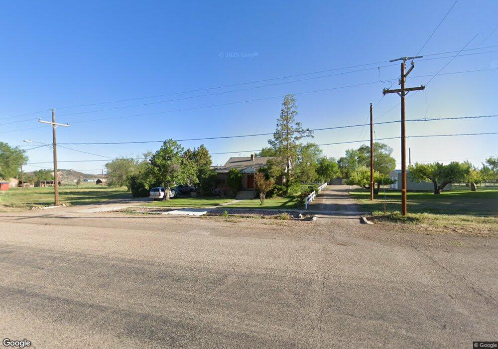
152 W Main St Summit, UT 84772
Estimated Value: $160,446 - $369,000
3
Beds
2
Baths
2,200
Sq Ft
$132/Sq Ft
Est. Value
About This Home
This home is located at 152 W Main St, Summit, UT 84772 and is currently estimated at $289,862, approximately $131 per square foot. 152 W Main St is a home located in Iron County with nearby schools including Parowan School, Parowan High School, and Cedar City High School.
Ownership History
Date
Name
Owned For
Owner Type
Purchase Details
Closed on
Jul 21, 2022
Sold by
Norma Stapley
Bought by
Graff John and Graff Deann
Current Estimated Value
Purchase Details
Closed on
Jun 21, 2022
Sold by
Graff John D and Graff Deann
Bought by
Graff Family Trust
Purchase Details
Closed on
Jun 20, 2022
Sold by
Graff John and Graff Family Trust
Bought by
Graff Family Trust and Graff
Create a Home Valuation Report for This Property
The Home Valuation Report is an in-depth analysis detailing your home's value as well as a comparison with similar homes in the area
Purchase History
| Date | Buyer | Sale Price | Title Company |
|---|---|---|---|
| Graff John | -- | -- | |
| Graff Family Trust | -- | Barney Mckenna & Olmstead Pc | |
| Graff Family Trust | -- | Cedar Land Title | |
| Graff Family Trust | -- | Cedar Land Title | |
| Graff Family Trust | -- | Cedar Land Title |
Source: Public Records
Tax History
| Year | Tax Paid | Tax Assessment Tax Assessment Total Assessment is a certain percentage of the fair market value that is determined by local assessors to be the total taxable value of land and additions on the property. | Land | Improvement |
|---|---|---|---|---|
| 2025 | $669 | $89,917 | $24,718 | $65,199 |
| 2023 | $677 | $86,070 | $24,720 | $61,350 |
| 2022 | $667 | $78,755 | $22,985 | $55,770 |
| 2021 | $558 | $65,885 | $22,985 | $42,900 |
| 2020 | $632 | $65,885 | $22,985 | $42,900 |
| 2019 | $638 | $63,840 | $22,985 | $40,855 |
| 2018 | $653 | $63,840 | $22,985 | $40,855 |
| 2017 | $650 | $63,840 | $22,985 | $40,855 |
| 2016 | $704 | $62,385 | $22,985 | $39,400 |
| 2015 | $642 | $54,260 | $0 | $0 |
| 2014 | $613 | $48,910 | $0 | $0 |
Source: Public Records
Map
Nearby Homes
- 0.5 acre Priority Date 1955
- 0 N Center St
- 1203 N Center St Unit 10
- 127 E Main St
- 700 W 700 N
- 131.07 Ac Working Farm +105 Ac Fort
- 131.07 Ac Working Farm +105 Ac Fort Unit Water
- 0 200 W
- 3505 W Allard Ranch Dr
- Parcel 3 Summit Mountain Rd
- Parcel 2 Summit Mountain Rd
- Lot 5 Red Canyon Estates
- LOT 25 Braffits Creek
- 1741 S Red Canyon Dr
- 1741 S Red Canyon Dr
- Parcel 1 Summit Canyon Rd
- 0 Pine Canyon Dr Unit 26-270841
- Lot 3 3500 W
- Lot 4 3500 W
- 2293 W 475 S
- 1125 W Main St
- 155 W Main St Unit Lt 3 Blk 1
- 155 W Main St
- 137 W Main St
- 125 W Main St
- 0 Old Us Highway 91
- 55 W 300 N
- 7 E Main St
- 54.96 acre Summit I-15 Interchange
- 23 E 100 S
- 115 S Center St
- 56 E Main St
- 36 N 100 E
- 98 E Main St
- 110 W 300 N
- 58 acres Summit I-15 Interchange
- 50 E 100 S
- 117 E Main St
- 0 Lot 123 Two Pines Unit 24-252390
- 0 Lot 123 Two Pines Unit 99520
Your Personal Tour Guide
Ask me questions while you tour the home.