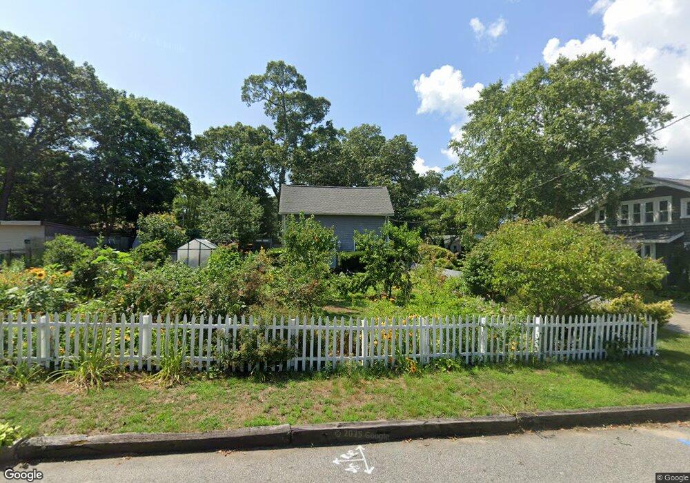
152 Wilson Ave Warwick, RI 02889
Oakland Beach NeighborhoodEstimated Value: $302,000 - $398,000
About This Home
This home is located at 152 Wilson Ave, Warwick, RI 02889 and is currently estimated at $345,435, approximately $345 per square foot. 152 Wilson Ave is a home located in Kent County with nearby schools including Saint Kevin School and Bishop Hendricken High School.
Ownership History
We collect this data history from publicly available records. To have your information removed, we recommend requesting removal directly through your county’s website.
Purchase Details
Purchase Details
Home Values in the Area
Average Home Value in this Area
Purchase History
We collect this data history from publicly available records. To have your information removed, we recommend requesting removal directly through your county’s website.
| Date | Buyer | Sale Price | Title Company |
|---|---|---|---|
| $76,000 | -- | ||
| $90,000 | -- | ||
| $90,000 | -- |
Mortgage History
We collect this data history from publicly available records. To have your information removed, we recommend requesting removal directly through your county’s website.
| Date | Status | Borrower | Loan Amount |
|---|---|---|---|
| Open | $65,000 | ||
| Closed | $31,000 | ||
| Closed | $32,000 |
Tax History
We collect this data history from publicly available records. To have your information removed, we recommend requesting removal directly through your county’s website.
| Year | Tax Paid | Tax Assessment Tax Assessment Total Assessment is a certain percentage of the fair market value that is determined by local assessors to be the total taxable value of land and additions on the property. | Land | Improvement |
|---|---|---|---|---|
| 2025 | $3,658 | $288,000 | $116,400 | $171,600 |
| 2024 | $3,275 | $226,300 | $96,100 | $130,200 |
| 2023 | $3,211 | $226,300 | $96,100 | $130,200 |
| 2022 | $2,877 | $153,600 | $54,100 | $99,500 |
| 2021 | $2,877 | $153,600 | $54,100 | $99,500 |
| 2020 | $2,877 | $153,600 | $54,100 | $99,500 |
| 2019 | $2,877 | $153,600 | $54,100 | $99,500 |
| 2018 | $2,332 | $112,100 | $54,100 | $58,000 |
| 2017 | $2,269 | $112,100 | $54,100 | $58,000 |
| 2016 | $2,269 | $112,100 | $54,100 | $58,000 |
| 2015 | $2,347 | $113,100 | $58,000 | $55,100 |
| 2014 | $2,269 | $113,100 | $58,000 | $55,100 |
| 2013 | $2,238 | $113,100 | $58,000 | $55,100 |
Map
- 213 Ottawa Ave
- 0 Sea View Dr
- 52 Kenway Ave
- 625 Oakland Beach Ave
- 19 Wood St Unit A
- 19 Wood St
- 167 Northup St
- 77 Huron St
- 0 Quonset Ave
- 79 Suburban Pkwy
- 176 Horse Neck Rd
- 122 Gordon Ave
- 1090 Buttonwoods Ave
- 20 Stewart St
- 165 Canfield Ave
- 48 Plenty St
- 60 Tampa Ave
- 131 Canfield Ave
- 10 Progress St
- 20 W View St
- 140 Wilson Ave
- 132 Wilson Ave
- 99 Hazard Ave
- 93 Hazard Ave
- 109 Hazard Ave
- 177 Manning St
- 126 Wilson Ave
- 147 Wilson Ave
- 160 Wilson Ave
- 178 Manning St Unit 1
- 87 Hazard Ave
- 133 Wilson Ave
- 153 Wilson Ave
- 117 Hazard Ave
- 174 Manning St
- 116 Wilson Ave
- 123 Wilson Ave
- 292 Sea View Dr
- 69 Hazard Ave
- 167 Manning St
Ask me questions while you tour the home.