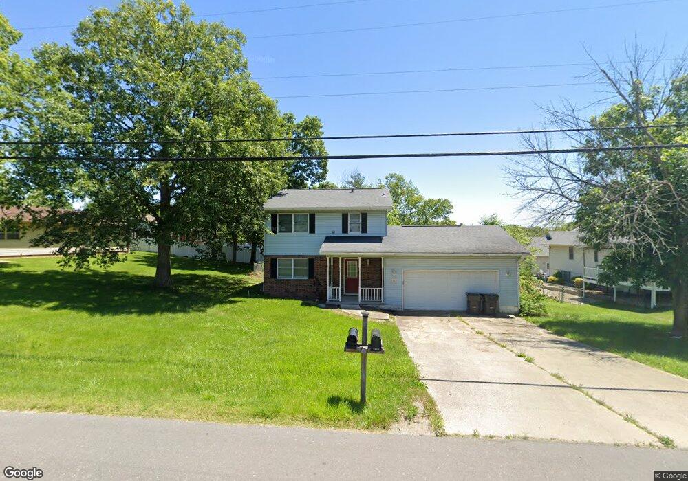
1520 Westside Dr Mount Zion, IL 62549
Estimated Value: $172,669 - $244,000
About This Home
This home is located at 1520 Westside Dr, Mount Zion, IL 62549 and is currently estimated at $208,417, approximately $130 per square foot. 1520 Westside Dr is a home located in Macon County with nearby schools including McGaughey Elementary School, Mt. Zion Elementary School, and Mt. Zion Intermediate School.
Ownership History
We collect this data history from publicly available records. To have your information removed, we recommend requesting removal directly through your county’s website.
Purchase Details
Purchase Details
Purchase Details
Purchase Details
Home Values in the Area
Average Home Value in this Area
Purchase History
We collect this data history from publicly available records. To have your information removed, we recommend requesting removal directly through your county’s website.
| Date | Buyer | Sale Price | Title Company |
|---|---|---|---|
| -- | None Available | ||
| $110,000 | None Available | ||
| -- | None Available | ||
| $107,000 | -- |
Mortgage History
We collect this data history from publicly available records. To have your information removed, we recommend requesting removal directly through your county’s website.
| Date | Status | Borrower | Loan Amount |
|---|---|---|---|
| Closed | $73,247 | ||
| Closed | $70,000 |
Tax History
We collect this data history from publicly available records. To have your information removed, we recommend requesting removal directly through your county’s website.
| Year | Tax Paid | Tax Assessment Tax Assessment Total Assessment is a certain percentage of the fair market value that is determined by local assessors to be the total taxable value of land and additions on the property. | Land | Improvement |
|---|---|---|---|---|
| 2025 | $3,698 | $54,066 | $6,050 | $48,016 |
| 2024 | $3,655 | $52,821 | $6,050 | $46,771 |
| 2023 | $3,522 | $49,127 | $5,627 | $43,500 |
| 2022 | $3,360 | $46,598 | $5,338 | $41,260 |
| 2021 | $3,248 | $43,653 | $5,000 | $38,653 |
| 2020 | $3,047 | $41,739 | $5,976 | $35,763 |
| 2019 | $3,047 | $41,739 | $5,976 | $35,763 |
| 2018 | $2,949 | $40,673 | $5,823 | $34,850 |
| 2017 | $2,905 | $39,891 | $5,711 | $34,180 |
| 2016 | $2,873 | $39,198 | $5,612 | $33,586 |
| 2015 | $2,776 | $38,809 | $5,556 | $33,253 |
| 2014 | $2,676 | $38,809 | $5,556 | $33,253 |
| 2013 | $2,707 | $38,809 | $5,556 | $33,253 |
Map
- 1130 W Wildwood Dr
- 2 Blakeridge Place
- 435 Desert Rose Ct
- 1135 Finley Ave
- 1820 Buckhead Ln
- 2130 Buckhead Ave
- 2110 Buckhead Ln
- 2030 Buckhead Ln
- 228-248 W Main St
- 320 W Debby Dr
- 140 Lexington Cir
- 120 Lexington Cir
- 0 State Route 121 Hwy Unit 6259158
- Lot 20 Jeffrey Ln
- 624 Woodland Dr
- 2620 Lake Reunion Pkwy
- 2630 Lake Reunion Pkwy
- 2625 Lake Reunion Pkwy
- 520 Bell St
- 2635 Lake Reunion Pkwy
- 1150 Del Scott Ct
- 1150 Del-Scott Ct
- 1615 Robin Ct
- 1145 Del Scott Ct
- 1155 Del-Scott Ct
- 1605 Westside Dr
- 1155 Del Scott Ct
- 1130 Del Scott Ct
- 1145 Del-Scott Ct
- 1615 Westside Dr
- 1130 Del-Scott Ct
- 1625 Robin Ct
- 1535 Westside Dr
- 1625 Westside Dr
- 1135 Del-Scott Ct
- 1135 Del Scott Ct
- 1635 Robin Ct
- 1525 Westside Dr
- 1608 Powers Ct
- 1614 Powers Ct
Ask me questions while you tour the home.