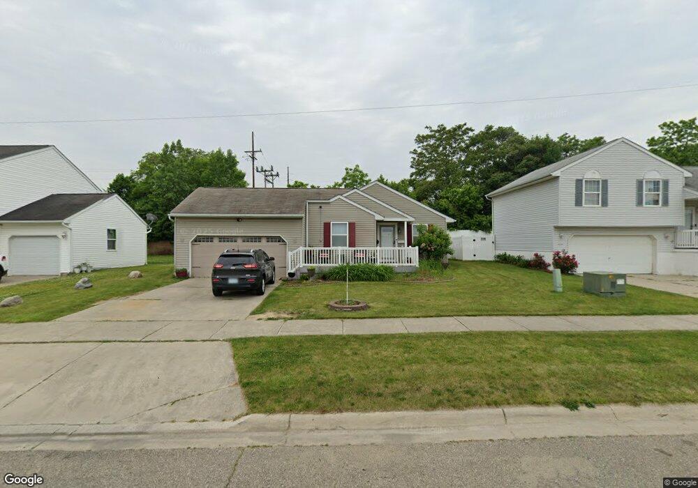
1521 Root St Flint, MI 48503
Downtown Flint NeighborhoodEstimated Value: $82,267 - $116,000
3
Beds
2
Baths
1,240
Sq Ft
$86/Sq Ft
Est. Value
About This Home
This home is located at 1521 Root St, Flint, MI 48503 and is currently estimated at $107,067, approximately $86 per square foot. 1521 Root St is a home located in Genesee County with nearby schools including Doyle/Ryder School, Flint Cultural Center Academy, and WAY Academy of Flint.
Ownership History
Date
Name
Owned For
Owner Type
Purchase Details
Closed on
Mar 31, 2011
Sold by
Genesee County Land Bank Authority
Bought by
Griggs Laquandra
Current Estimated Value
Home Financials for this Owner
Home Financials are based on the most recent Mortgage that was taken out on this home.
Original Mortgage
$34,112
Outstanding Balance
$23,526
Interest Rate
4.87%
Mortgage Type
FHA
Estimated Equity
$83,541
Purchase Details
Closed on
Dec 21, 2009
Sold by
Kildee Daniel T and Genesee County Treasurer
Bought by
Genesee County Land Bank Authority
Purchase Details
Closed on
Sep 21, 2001
Sold by
Odyssey Housing Development
Bought by
Michigan National Bank Cmnty Development
Create a Home Valuation Report for This Property
The Home Valuation Report is an in-depth analysis detailing your home's value as well as a comparison with similar homes in the area
Home Values in the Area
Average Home Value in this Area
Purchase History
| Date | Buyer | Sale Price | Title Company |
|---|---|---|---|
| Griggs Laquandra | -- | Greco | |
| Genesee County Land Bank Authority | -- | None Available | |
| Michigan National Bank Cmnty Development | -- | -- |
Source: Public Records
Mortgage History
| Date | Status | Borrower | Loan Amount |
|---|---|---|---|
| Open | Griggs Laquandra | $34,112 |
Source: Public Records
Tax History
| Year | Tax Paid | Tax Assessment Tax Assessment Total Assessment is a certain percentage of the fair market value that is determined by local assessors to be the total taxable value of land and additions on the property. | Land | Improvement |
|---|---|---|---|---|
| 2025 | $609 | $27,400 | $0 | $0 |
| 2024 | $565 | $45,000 | $0 | $0 |
| 2023 | $563 | $42,100 | $0 | $0 |
| 2022 | $0 | $35,500 | $0 | $0 |
| 2021 | $576 | $33,700 | $0 | $0 |
| 2020 | $533 | $31,900 | $0 | $0 |
| 2019 | $876 | $12,000 | $0 | $0 |
| 2018 | $499 | $7,400 | $0 | $0 |
| 2017 | $488 | $0 | $0 | $0 |
| 2016 | $486 | $0 | $0 | $0 |
| 2015 | -- | $0 | $0 | $0 |
| 2014 | -- | $0 | $0 | $0 |
| 2012 | -- | $7,200 | $0 | $0 |
Source: Public Records
Map
Nearby Homes
- 1303 Root St
- 562 Williams St
- 800 Martin Luther King Ave
- 1606 Garland St
- 1710 Wilberforce Cir
- 1706 Wilberforce Cir
- 122 Welch Blvd
- 1620 Mason St
- 2217 Francis Ave
- 1645 Seminole St
- 416 W 2nd Ave Unit 4
- 630 E Dartmouth St
- 2309 Mason St
- 407 W 2nd Ave
- 310 White St
- 218 E Jackson Ave
- 1409 Prospect St
- 506 Green St
- 1930 Concord St
- 1239 Poplar St
Your Personal Tour Guide
Ask me questions while you tour the home.