1522 Robinson Rd Shady Side, MD 20764
Estimated Value: $428,000 - $577,000
About This Home
This home is located at 1522 Robinson Rd, Shady Side, MD 20764 and is currently estimated at $484,498, approximately $378 per square foot. 1522 Robinson Rd is a home located in Anne Arundel County with nearby schools including Shady Side Elementary School, Southern Middle School, and Southern High School.
Ownership History
We collect this data history from publicly available records. To have your information removed, we recommend requesting removal directly through your county’s website.
Purchase Details
Home Financials for this Owner
Home Financials are based on the most recent Mortgage that was taken out on this home.Purchase Details
Purchase Details
Purchase Details
Purchase Details
Home Values in the Area
Average Home Value in this Area
Purchase History
We collect this data history from publicly available records. To have your information removed, we recommend requesting removal directly through your county’s website.
| Date | Buyer | Sale Price | Title Company |
|---|---|---|---|
| $274,900 | -- | ||
| $155,500 | -- | ||
| $132,500 | -- | ||
| $35,000 | -- | ||
| $26,000 | -- |
Mortgage History
We collect this data history from publicly available records. To have your information removed, we recommend requesting removal directly through your county’s website.
| Date | Status | Borrower | Loan Amount |
|---|---|---|---|
| Open | $269,920 | ||
| Closed | -- |
Tax History
We collect this data history from publicly available records. To have your information removed, we recommend requesting removal directly through your county’s website.
| Year | Tax Paid | Tax Assessment Tax Assessment Total Assessment is a certain percentage of the fair market value that is determined by local assessors to be the total taxable value of land and additions on the property. | Land | Improvement |
|---|---|---|---|---|
| 2025 | $4,538 | $310,033 | -- | -- |
| 2024 | $4,538 | $286,867 | $0 | $0 |
| 2023 | $4,442 | $263,700 | $121,200 | $142,500 |
| 2022 | $4,188 | $255,233 | $0 | $0 |
| 2020 | $3,855 | $238,300 | $116,200 | $122,100 |
| 2019 | $3,797 | $235,967 | $0 | $0 |
| 2018 | $2,369 | $233,633 | $0 | $0 |
| 2017 | $3,686 | $231,300 | $0 | $0 |
| 2016 | -- | $229,333 | $0 | $0 |
| 2015 | -- | $227,367 | $0 | $0 |
| 2014 | -- | $225,400 | $0 | $0 |
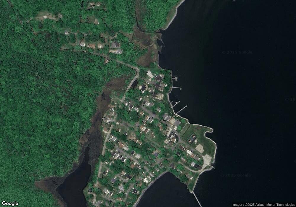
Map
- 5211 Al Jones Dr
- 1527 Lincoln Rd
- 5235 Al Jones Dr
- 5250 Al Jones Dr
- 1502 Garst Rd
- 1500 Garst Rd
- 1183 Cedar Ave
- 5314 Al Jones Dr
- 1172 Cedar Ave
- 5222 Spring Ave
- 5341 Al Jones Dr
- 1199 Oak Ave
- 0 Haile Pkwy Unit MDAA2141624
- 1445 & 1447 Haile Pkwy
- 1436 Haile Pkwy
- 1235 Spruce Ave
- 1430 Haile Pkwy
- 1217 Pine Ave
- 1411 Haile Pkwy
- 1205 Poplar Ave
- 1530 Robinson Rd
- 1524 Robinson Rd
- 1534 Robinson Rd
- 1506 Columbia Cove Ct
- 1542 Robinson Rd
- 1518 Robinson Rd
- 1527 Robinson Rd
- 1523 Robinson Rd
- 1614 Columbia Beach Rd
- 1535 Robinson Rd
- 1507 Columbia Cove Ct
- 1517 Robinson Rd
- 1546 Robinson Rd
- 1510 Robinson Rd
- 1504 Columbia Cove Ct
- 1539 Robinson Rd
- 1511 Robinson Rd
- 1616 Columbia Beach Rd
- 1506 Robinson Rd
- 1541 Robinson Rd
Ask me questions while you tour the home.