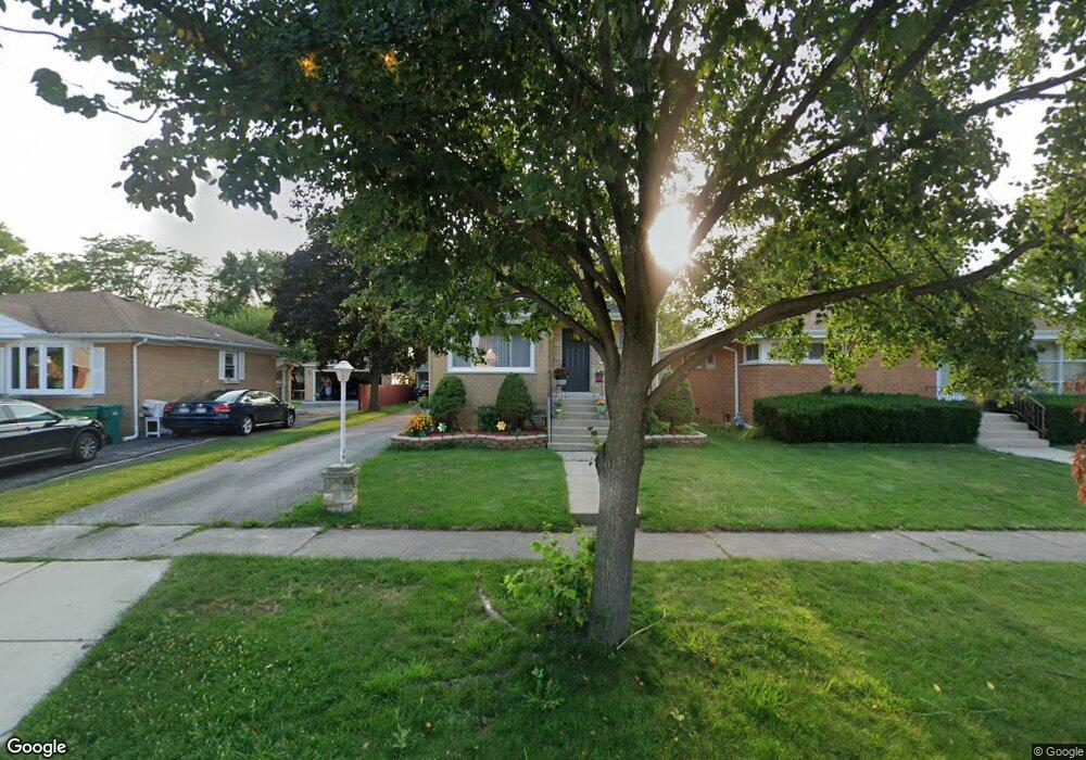
1526 Evers Ave Westchester, IL 60154
Estimated Value: $297,000 - $366,000
3
Beds
2
Baths
1,664
Sq Ft
$208/Sq Ft
Est. Value
About This Home
This home is located at 1526 Evers Ave, Westchester, IL 60154 and is currently estimated at $345,793, approximately $207 per square foot. 1526 Evers Ave is a home located in Cook County with nearby schools including Westchester Primary School, Westchester Intermediate School, and Westchester Middle School.
Ownership History
Date
Name
Owned For
Owner Type
Purchase Details
Closed on
Mar 31, 1995
Sold by
Rooney John E and Rooney Karen A
Bought by
Catuncan Tito P and Catuncan Teresita O
Current Estimated Value
Home Financials for this Owner
Home Financials are based on the most recent Mortgage that was taken out on this home.
Original Mortgage
$117,000
Interest Rate
8.42%
Create a Home Valuation Report for This Property
The Home Valuation Report is an in-depth analysis detailing your home's value as well as a comparison with similar homes in the area
Home Values in the Area
Average Home Value in this Area
Purchase History
| Date | Buyer | Sale Price | Title Company |
|---|---|---|---|
| Catuncan Tito P | $147,000 | -- |
Source: Public Records
Mortgage History
| Date | Status | Borrower | Loan Amount |
|---|---|---|---|
| Closed | Catuncan Tito P | $117,000 |
Source: Public Records
Tax History
| Year | Tax Paid | Tax Assessment Tax Assessment Total Assessment is a certain percentage of the fair market value that is determined by local assessors to be the total taxable value of land and additions on the property. | Land | Improvement |
|---|---|---|---|---|
| 2025 | $5,782 | $28,000 | $4,425 | $23,575 |
| 2024 | $5,782 | $28,000 | $4,425 | $23,575 |
| 2023 | $4,569 | $28,000 | $4,425 | $23,575 |
| 2022 | $4,569 | $21,135 | $3,793 | $17,342 |
| 2021 | $4,471 | $21,133 | $3,792 | $17,341 |
| 2020 | $5,202 | $21,133 | $3,792 | $17,341 |
| 2019 | $5,943 | $24,465 | $3,476 | $20,989 |
| 2018 | $5,863 | $24,465 | $3,476 | $20,989 |
| 2017 | $5,767 | $24,465 | $3,476 | $20,989 |
| 2016 | $5,490 | $21,320 | $3,160 | $18,160 |
| 2015 | $5,383 | $21,320 | $3,160 | $18,160 |
| 2014 | $5,274 | $21,320 | $3,160 | $18,160 |
| 2013 | $5,100 | $22,916 | $3,160 | $19,756 |
Source: Public Records
Map
Nearby Homes
- 1430 Evers Ave
- 11053 Mandel Ave
- 1249 Highridge Pkwy
- 1226 Highridge Pkwy
- 11138 Shaw St
- 1850 Kensington Ave
- 11011 W Roosevelt Rd
- 1821 Buckingham Ave
- 1943 Mayfair Ave
- 10850 Claridge Ave Unit 2
- 10842 Claridge Ave
- 10630 W Cermak Rd Unit 2E
- 10845 Claridge Ave
- 2345 Boeger Ave
- 10264 Pelham St
- 10909 Martindale Dr
- 1244 Westchester Blvd
- 1558 Portsmouth Ave
- 1932 Newcastle Ave
- 2610 Sunnyside Ave
- 1520 Evers Ave
- 1530 Evers Ave
- 1536 Evers Ave
- 1518 Evers Ave
- 1527 Mandel Ave
- 1521 Mandel Ave
- 1531 Mandel Ave
- 1538 Evers Ave
- 1512 Evers Ave
- 1537 Mandel Ave
- 1519 Mandel Ave
- 1544 Evers Ave
- 1527 Evers Ave
- 1539 Mandel Ave
- 1513 Mandel Ave
- 1506 Evers Ave
- 1531 Evers Ave
- 1523 Evers Ave
- 1537 Evers Ave
- 1517 Evers Ave
Your Personal Tour Guide
Ask me questions while you tour the home.