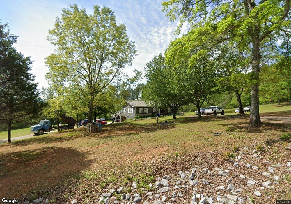
153 Buddy Trail Steele, AL 35987
Estimated Value: $196,000 - $345,000
3
Beds
2
Baths
1,456
Sq Ft
$164/Sq Ft
Est. Value
About This Home
This home is located at 153 Buddy Trail, Steele, AL 35987 and is currently estimated at $239,184, approximately $164 per square foot. 153 Buddy Trail is a home located in St. Clair County with nearby schools including Steele Elementary School and Ashville High School.
Ownership History
Date
Name
Owned For
Owner Type
Purchase Details
Closed on
Aug 17, 2011
Sold by
Brown Brittany and Brown Jeffery Scott
Bought by
Brown Brittany and Brown Jeffery Scott
Current Estimated Value
Home Financials for this Owner
Home Financials are based on the most recent Mortgage that was taken out on this home.
Original Mortgage
$45,000
Interest Rate
4.53%
Mortgage Type
New Conventional
Create a Home Valuation Report for This Property
The Home Valuation Report is an in-depth analysis detailing your home's value as well as a comparison with similar homes in the area
Home Values in the Area
Average Home Value in this Area
Purchase History
| Date | Buyer | Sale Price | Title Company |
|---|---|---|---|
| Brown Brittany | -- | -- |
Source: Public Records
Mortgage History
| Date | Status | Borrower | Loan Amount |
|---|---|---|---|
| Closed | Brown Brittany | $45,000 |
Source: Public Records
Tax History
| Year | Tax Paid | Tax Assessment Tax Assessment Total Assessment is a certain percentage of the fair market value that is determined by local assessors to be the total taxable value of land and additions on the property. | Land | Improvement |
|---|---|---|---|---|
| 2024 | $450 | $27,626 | $5,040 | $22,586 |
| 2023 | $450 | $27,626 | $5,040 | $22,586 |
| 2022 | $463 | $14,186 | $2,390 | $11,796 |
| 2021 | $370 | $14,188 | $2,392 | $11,796 |
| 2020 | $370 | $11,602 | $2,387 | $9,215 |
| 2019 | $370 | $11,602 | $2,387 | $9,215 |
| 2018 | $328 | $10,440 | $0 | $0 |
| 2017 | $344 | $10,440 | $0 | $0 |
| 2016 | $328 | $10,440 | $0 | $0 |
| 2015 | $344 | $10,360 | $0 | $0 |
| 2014 | $344 | $10,880 | $0 | $0 |
Source: Public Records
Map
Nearby Homes
- 0 Legion Dr Unit 893391
- 0 Legion Dr Unit 19987726
- 0 Highway 11 Unit 21427361
- 15 Dorough St
- 61 Hartsfield Dr
- 3074 Beason Cove Rd
- 19099 US Highway 11
- 0 Sweatt Rd Unit 21415006
- 36240 US Hwy 231
- 115 Canoe Dr
- 0 US Hwy 231 Unit 21398012
- 0 US Hwy 231 Unit 21438521
- 32960 US Highway 411
- 145 Cross Creek Ln
- 32728 US Highway 411
- 435 5th St
- 31 3rd Ave
- 4396 Shore Dr
- 0 County Road 42 Unit 26157833
- 0 County Road 42 Unit 21442134
- 21173 Us Highway 11
- 21173 Highway 11
- 21173 Hwy 11
- 21221 Us Highway 11
- 21109 Us Highway 11
- 111 Legion Dr
- 0 Legion Dr Unit lot 7 735424
- 0 Legion Dr Unit 5,6,25,26 893391
- 0 Legion Dr Unit 386863
- 0 Legion Dr Unit 470742
- 0 Legion Dr Unit 23 1272501
- 0 Legion Dr Unit 7 1272499
- 0 Legion Dr Unit 1151266
- 00 Legion Dr Unit 10
- 195 Legion Dr
- 155 Legion Dr
- 21212 Main St
- 213 Legion Dr
- 227 Legion Dr
- 132 Legion Dr
Your Personal Tour Guide
Ask me questions while you tour the home.