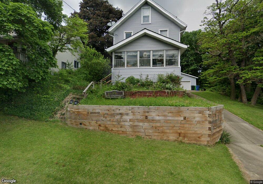
153 Glenn St Barberton, OH 44203
North Barberton NeighborhoodEstimated Value: $124,519 - $136,000
About This Home
This home is located at 153 Glenn St, Barberton, OH 44203 and is currently estimated at $128,380, approximately $246 per square foot. 153 Glenn St is a home located in Summit County with nearby schools including Barberton Middle School, Barberton Intermediate School 3-5, and Barberton High School.
Ownership History
We collect this data history from publicly available records. To have your information removed, we recommend requesting removal directly through your county’s website.
Purchase Details
Home Financials for this Owner
Home Financials are based on the most recent Mortgage that was taken out on this home.Purchase Details
Purchase Details
Home Financials for this Owner
Home Financials are based on the most recent Mortgage that was taken out on this home.Home Values in the Area
Average Home Value in this Area
Purchase History
We collect this data history from publicly available records. To have your information removed, we recommend requesting removal directly through your county’s website.
| Date | Buyer | Sale Price | Title Company |
|---|---|---|---|
| $87,500 | Lake Erie Title Agency Inc | ||
| -- | -- | ||
| $46,950 | -- |
Mortgage History
We collect this data history from publicly available records. To have your information removed, we recommend requesting removal directly through your county’s website.
| Date | Status | Borrower | Loan Amount |
|---|---|---|---|
| Open | $86,122 | ||
| Previous Owner | $44,600 |
Tax History
We collect this data history from publicly available records. To have your information removed, we recommend requesting removal directly through your county’s website.
| Year | Tax Paid | Tax Assessment Tax Assessment Total Assessment is a certain percentage of the fair market value that is determined by local assessors to be the total taxable value of land and additions on the property. | Land | Improvement |
|---|---|---|---|---|
| 2026 | $3,135 | $37,507 | $8,866 | $28,641 |
| 2024 | $1,875 | $37,507 | $8,866 | $28,641 |
| 2023 | $2,657 | $37,507 | $8,866 | $28,641 |
| 2022 | $1,489 | $25,831 | $5,793 | $20,038 |
| 2021 | $1,488 | $25,831 | $5,793 | $20,038 |
| 2020 | $1,456 | $25,830 | $5,790 | $20,040 |
| 2019 | $1,289 | $20,700 | $5,100 | $15,600 |
| 2018 | $1,269 | $20,700 | $5,100 | $15,600 |
| 2017 | $1,286 | $20,700 | $5,100 | $15,600 |
| 2016 | $1,288 | $20,700 | $5,100 | $15,600 |
| 2015 | $1,286 | $20,700 | $5,100 | $15,600 |
| 2014 | $1,279 | $20,700 | $5,100 | $15,600 |
| 2013 | $1,288 | $21,610 | $5,100 | $16,510 |
Map
- 197 W State St Unit 182
- 0 Romig Ave
- 1015 Romig Ave
- 303 W State St
- 161 Fernwood Ave
- 978 Wooster Rd N
- 255 Glenn St
- 52 Norwood St
- 260 Horn St
- 1150 Wooster Rd N
- 130 Yonker St
- 154 Yonker St
- 294 Broadview Ave
- 331 Elmwood Ave
- 123 E State St
- 727 Wooster Rd N
- 1974 Newton Ave
- 172 & 173 Belcher Ave
- 1296 Weiser Ave
- 1304 Nestor Ave
Ask me questions while you tour the home.