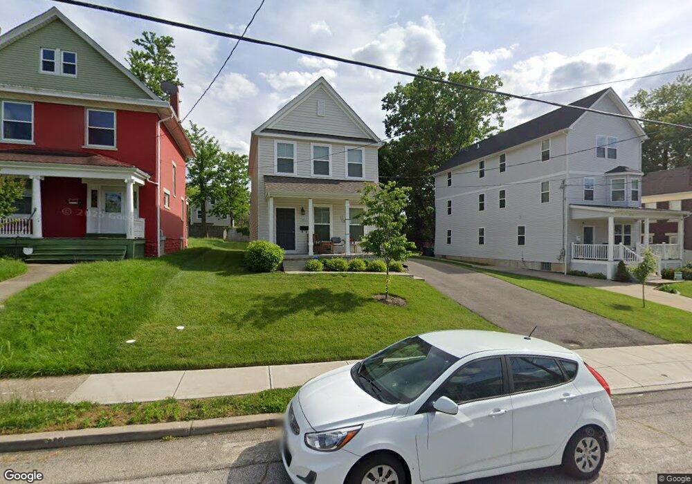
1533 Ruth Ave Cincinnati, OH 45207
Evanston NeighborhoodEstimated Value: $333,000 - $454,000
About This Home
This home is located at 1533 Ruth Ave, Cincinnati, OH 45207 and is currently estimated at $398,506, approximately $271 per square foot. 1533 Ruth Ave is a home located in Hamilton County with nearby schools including Evanston Academy Elementary School, Clark Montessori High School, and Robert A. Taft Information Technology High School.
Ownership History
We collect this data history from publicly available records. To have your information removed, we recommend requesting removal directly through your county’s website.
Purchase Details
Home Financials for this Owner
Home Financials are based on the most recent Mortgage that was taken out on this home.Purchase Details
Home Financials for this Owner
Home Financials are based on the most recent Mortgage that was taken out on this home.Purchase Details
Purchase Details
Purchase Details
Home Financials for this Owner
Home Financials are based on the most recent Mortgage that was taken out on this home.Purchase Details
Purchase Details
Home Financials for this Owner
Home Financials are based on the most recent Mortgage that was taken out on this home.Home Values in the Area
Average Home Value in this Area
Purchase History
We collect this data history from publicly available records. To have your information removed, we recommend requesting removal directly through your county’s website.
| Date | Buyer | Sale Price | Title Company |
|---|---|---|---|
| $363,000 | -- | ||
| $363,000 | None Listed On Document | ||
| -- | None Available | ||
| -- | Attorney | ||
| $375,000 | Attorney | ||
| -- | Attorney | ||
| $50,000 | Precision Land Title Agency |
Mortgage History
We collect this data history from publicly available records. To have your information removed, we recommend requesting removal directly through your county’s website.
| Date | Status | Borrower | Loan Amount |
|---|---|---|---|
| Closed | -- | ||
| Open | $290,400 | ||
| Previous Owner | $375,000 | ||
| Previous Owner | $67,500 |
Tax History
We collect this data history from publicly available records. To have your information removed, we recommend requesting removal directly through your county’s website.
| Year | Tax Paid | Tax Assessment Tax Assessment Total Assessment is a certain percentage of the fair market value that is determined by local assessors to be the total taxable value of land and additions on the property. | Land | Improvement |
|---|---|---|---|---|
| 2025 | $1,965 | $127,050 | $7,728 | $119,322 |
| 2023 | $1,965 | $127,050 | $7,728 | $119,322 |
| 2022 | $421 | $5,751 | $5,751 | $0 |
| 2021 | $409 | $5,751 | $5,751 | $0 |
| 2020 | $13 | $5,751 | $5,751 | $0 |
| 2019 | $13 | $5,751 | $5,751 | $0 |
| 2018 | $11 | $5,751 | $5,751 | $0 |
| 2017 | $10 | $5,751 | $5,751 | $0 |
| 2016 | $3,220 | $5,572 | $5,572 | $0 |
| 2015 | $3,448 | $5,572 | $5,572 | $0 |
| 2014 | $1,073 | $5,572 | $5,572 | $0 |
| 2013 | $1,073 | $15,449 | $5,684 | $9,765 |
Map
- 1517 Saint Leger Place
- 1541 Blair Ave
- 1560 Ruth Ave
- 1537 Dixmont Ave
- 3217 Gilbert Ave
- 3206 Gilbert Ave
- 3238 Gilbert Ave
- 3414 Woodburn Ave
- 3129 Durrell Ave
- 3136 Harvard Ave
- 3331 Hackberry St
- 1606 Dauner Ave
- 1637 Dauner Ave
- 1510 Merrimac St
- 1739 Holloway Ave
- 1648 Dauner Ave
- 3216 Hackberry St
- 1620 Grantwood Ave
- 1521 Merrimac St
- 3118 Woodburn Ave
- 1525 Ruth Ave
- 1529 Ruth Ave
- 1519 Ruth Ave
- 1517 Ruth Ave
- 1515 Ruth Ave
- 1530 Saint Leger Place
- 1534 Saint Leger Place
- 1526 Saint Leger Place
- 1537 Ruth Ave
- 1538 Saint Leger Place
- 1520 Saint Leger Place
- 1520 St Ledger Place
- 1511 Ruth Ave
- 1540 Saint Leger Place
- 1530 Ruth Ave
- 1528 Saint Leger Place
- 1526 Ruth Ave
- 1518 Saint Leger Place
- 1524 Ruth Ave
- 1524 Ruth Ave Unit 2
Ask me questions while you tour the home.