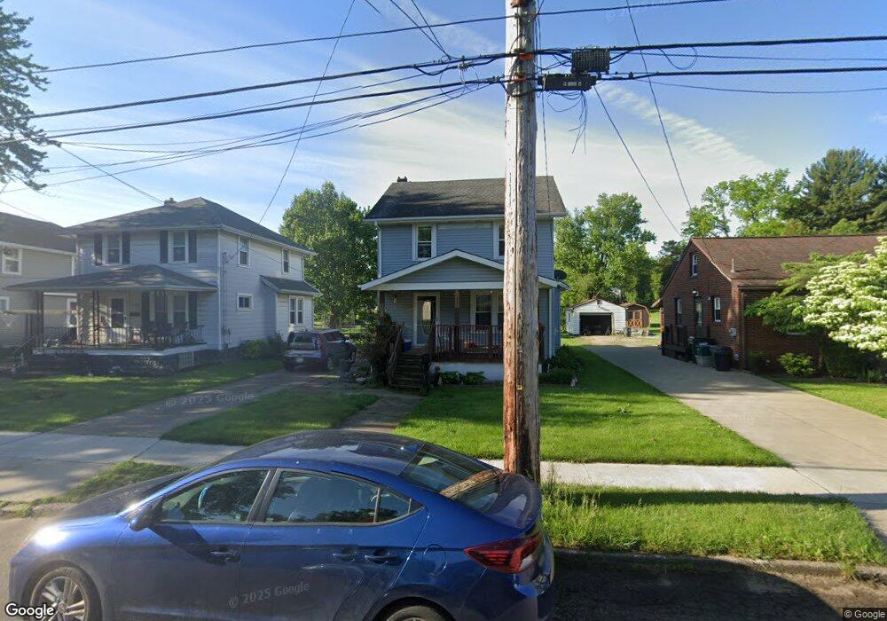
1533 Walnut Rd SW Massillon, OH 44647
Lawndale NeighborhoodEstimated Value: $113,891 - $152,000
3
Beds
1
Bath
1,244
Sq Ft
$108/Sq Ft
Est. Value
About This Home
This home is located at 1533 Walnut Rd SW, Massillon, OH 44647 and is currently estimated at $134,223, approximately $107 per square foot. 1533 Walnut Rd SW is a home located in Stark County with nearby schools including Massillon Intermediate School, Massillon Junior High School, and Washington High School.
Ownership History
Date
Name
Owned For
Owner Type
Purchase Details
Closed on
Jul 22, 1994
Sold by
Litman John E
Bought by
Roth Larry M and Roth Tonia
Current Estimated Value
Home Financials for this Owner
Home Financials are based on the most recent Mortgage that was taken out on this home.
Original Mortgage
$54,050
Interest Rate
8.38%
Mortgage Type
New Conventional
Purchase Details
Closed on
Aug 30, 1990
Create a Home Valuation Report for This Property
The Home Valuation Report is an in-depth analysis detailing your home's value as well as a comparison with similar homes in the area
Home Values in the Area
Average Home Value in this Area
Purchase History
| Date | Buyer | Sale Price | Title Company |
|---|---|---|---|
| Roth Larry M | $56,900 | -- | |
| -- | $45,000 | -- |
Source: Public Records
Mortgage History
| Date | Status | Borrower | Loan Amount |
|---|---|---|---|
| Closed | Roth Larry M | $54,050 |
Source: Public Records
Tax History
| Year | Tax Paid | Tax Assessment Tax Assessment Total Assessment is a certain percentage of the fair market value that is determined by local assessors to be the total taxable value of land and additions on the property. | Land | Improvement |
|---|---|---|---|---|
| 2025 | $989 | $32,590 | $9,800 | $22,790 |
| 2024 | $787 | $32,590 | $9,800 | $22,790 |
| 2023 | $1,808 | $27,230 | $7,840 | $19,390 |
| 2022 | $1,741 | $27,230 | $7,840 | $19,390 |
| 2021 | $1,764 | $27,230 | $7,840 | $19,390 |
| 2020 | $1,218 | $21,980 | $6,440 | $15,540 |
| 2019 | $1,880 | $21,990 | $6,440 | $15,550 |
| 2018 | $1,524 | $21,990 | $6,440 | $15,550 |
| 2017 | $1,449 | $19,430 | $4,830 | $14,600 |
| 2016 | $1,391 | $18,310 | $4,830 | $13,480 |
| 2015 | $1,406 | $18,730 | $4,830 | $13,900 |
| 2014 | $1,648 | $18,110 | $4,660 | $13,450 |
| 2013 | $826 | $18,110 | $4,660 | $13,450 |
Source: Public Records
Map
Nearby Homes
- 1521 Tremont Ave SW
- 804 15th St SW
- 918 15th St SW
- 1307 Main Ave W
- 43 14th St NW
- 1833 Carlene Ave SW
- 1105 Tremont Ave SW
- 104 12th St NW
- 1301 Lincoln Way NW
- 37 23rd St NW
- 322 21st St NW
- 827 9th St SW
- 831 9th St SW
- 2488 Carlene Ave SW
- 864 Liberty Ct SW
- 1244 Patriot Place SW
- 817 7th St SW
- 1252 Patriot Place SW
- 1290 Patriot Place SW
- 2119 Alden Ave NW
- 1529 Walnut Rd SW
- 1537 Walnut Rd SW
- 1523 Walnut Rd SW
- 1541 Walnut Rd SW
- 1519 Walnut Rd SW
- 1540 Walnut Rd SW
- 1601 Walnut Rd SW
- 1600 Walnut Rd SW
- 1530 Walnut Rd SW
- 1511 Walnut Rd SW
- 1607 Walnut Rd SW
- 1518 Walnut Rd SW
- 1610 Walnut Rd SW
- 1613 Walnut Rd SW
- 325 15th St SW
- 1555 Tremont Ave SW
- 717 15th St SW
- 1505 Walnut Rd SW
- 1551 Tremont Ave SW
- 1613 Tremont Ave SW
Your Personal Tour Guide
Ask me questions while you tour the home.