1538 Healy Fields Rd Andrews, NC 28901
Studio
--
Bath
4,000
Sq Ft
410,771
Sq Ft Lot
About This Home
This home is located at 1538 Healy Fields Rd, Andrews, NC 28901. 1538 Healy Fields Rd is a home located in Cherokee County with nearby schools including Andrews Elementary School, Andrews Middle School, and Andrews High School.
Ownership History
Date
Name
Owned For
Owner Type
Purchase Details
Closed on
Dec 19, 2018
Sold by
Galloway Gary E and Galloway Rebecca
Bought by
Moore Colleen Erin Galloway
Home Financials for this Owner
Home Financials are based on the most recent Mortgage that was taken out on this home.
Original Mortgage
$595,400
Outstanding Balance
$525,607
Interest Rate
4.9%
Mortgage Type
Seller Take Back
Purchase Details
Closed on
Jun 5, 2006
Sold by
Long Judy M and Long Clyde W
Bought by
Galloway Gary E and Galloway Rebecca
Create a Home Valuation Report for This Property
The Home Valuation Report is an in-depth analysis detailing your home's value as well as a comparison with similar homes in the area
Home Values in the Area
Average Home Value in this Area
Purchase History
| Date | Buyer | Sale Price | Title Company |
|---|---|---|---|
| Moore Colleen Erin Galloway | -- | None Available | |
| Galloway Gary E | $300,000 | -- |
Source: Public Records
Mortgage History
| Date | Status | Borrower | Loan Amount |
|---|---|---|---|
| Open | Moore Colleen Erin Galloway | $595,400 |
Source: Public Records
Tax History
| Year | Tax Paid | Tax Assessment Tax Assessment Total Assessment is a certain percentage of the fair market value that is determined by local assessors to be the total taxable value of land and additions on the property. | Land | Improvement |
|---|---|---|---|---|
| 2025 | $2,449 | $353,550 | $0 | $0 |
| 2024 | $23 | $326,550 | $0 | $0 |
| 2023 | $2,260 | $326,550 | $0 | $0 |
| 2022 | $2,260 | $326,550 | $0 | $0 |
| 2021 | $1,899 | $326,550 | $137,840 | $188,710 |
| 2020 | $1,900 | $352,270 | $0 | $0 |
| 2019 | $3,557 | $598,150 | $0 | $0 |
| 2018 | $4,407 | $745,090 | $0 | $0 |
| 2017 | $0 | $745,090 | $0 | $0 |
| 2016 | $4,732 | $745,090 | $0 | $0 |
| 2015 | $3,368 | $745,090 | $447,500 | $297,590 |
| 2012 | -- | $538,190 | $361,250 | $176,940 |
Source: Public Records
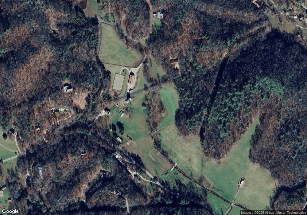
Map
Nearby Homes
- 760 Pinedale Ln
- 501 Cliff Top Trail
- Lot 2 Morris Creek Rd
- 6387 Airport Rd
- 00 Rd
- 135.49ac Webb Creek Rd
- 0.86 ac Webb Creek Rd
- 6.83ac Webb Creek Rd
- 6765 Airport Rd
- 00 Airport Rd
- 1917 Fairview Rd
- 4357 Fairview Rd
- 00 Main & Whitaker
- 00 River Dance Dr
- 1974 Beaver Creek Rd
- 1000 Hyatt Creek Rd
- 212 Pendergrass Rd
- 3 AC Chestnut Flats Rd
- 1034 Chestnut Flats Rd
- 23.59 AC Chestnut Flats Rd
- 1477 Healey Fields Rd
- 1477 Healy Fields Rd
- 1477 Healy Field Rd
- 1547 Healy Fields Rd
- 1547 Healy Fields Rd
- Lot 26 Wildwood Estate
- 100 Burgess Ln
- 255 Oakland Ln
- 109 Burgess Ln
- 182 Revis Rd
- 411 Oakland Ln
- 0 Revis Rd Unit 246469
- Lot 7 Revis Rd
- 45 Burgess Ln
- 0 Bonnie Brae
- 123851 Bonnie Brae
- 161 Burgess Ln
- 1547 Healey Fields Rd
- 1609 Healey Fields Rd
- 464 Revis Rd
Your Personal Tour Guide
Ask me questions while you tour the home.