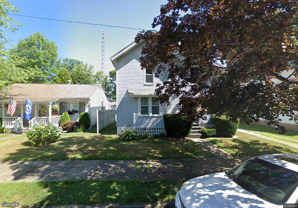
154 12th St Alliance, OH 44601
Estimated Value: $77,000 - $112,000
About This Home
This home is located at 154 12th St, Alliance, OH 44601 and is currently estimated at $92,390, approximately $73 per square foot. 154 12th St is a home located in Stark County with nearby schools including Alliance Elementary School at Rockhill, Alliance Intermediate School at Northside, and Alliance Middle School.
Ownership History
We collect this data history from publicly available records. To have your information removed, we recommend requesting removal directly through your county’s website.
Purchase Details
Home Financials for this Owner
Home Financials are based on the most recent Mortgage that was taken out on this home.Purchase Details
Purchase Details
Purchase Details
Purchase Details
Purchase Details
Home Values in the Area
Average Home Value in this Area
Purchase History
We collect this data history from publicly available records. To have your information removed, we recommend requesting removal directly through your county’s website.
| Date | Buyer | Sale Price | Title Company |
|---|---|---|---|
| $64,000 | Union Title Company | ||
| -- | -- | ||
| -- | -- | ||
| -- | -- | ||
| $23,700 | -- | ||
| -- | -- |
Mortgage History
We collect this data history from publicly available records. To have your information removed, we recommend requesting removal directly through your county’s website.
| Date | Status | Borrower | Loan Amount |
|---|---|---|---|
| Open | $64,000 |
Tax History
We collect this data history from publicly available records. To have your information removed, we recommend requesting removal directly through your county’s website.
| Year | Tax Paid | Tax Assessment Tax Assessment Total Assessment is a certain percentage of the fair market value that is determined by local assessors to be the total taxable value of land and additions on the property. | Land | Improvement |
|---|---|---|---|---|
| 2025 | -- | $26,150 | $3,850 | $22,300 |
| 2024 | -- | $26,150 | $3,850 | $22,300 |
| 2023 | $813 | $20,230 | $3,780 | $16,450 |
| 2022 | $818 | $20,230 | $3,780 | $16,450 |
| 2021 | $796 | $19,670 | $3,780 | $15,890 |
| 2020 | $725 | $16,730 | $3,290 | $13,440 |
| 2019 | $715 | $16,740 | $3,290 | $13,450 |
| 2018 | $719 | $16,740 | $3,290 | $13,450 |
| 2017 | $642 | $14,700 | $2,730 | $11,970 |
| 2016 | $647 | $14,700 | $2,730 | $11,970 |
| 2015 | $652 | $14,700 | $2,730 | $11,970 |
| 2014 | $705 | $15,120 | $2,800 | $12,320 |
| 2013 | $352 | $15,120 | $2,800 | $12,320 |
Map
- 226 1/2 South St
- 1121 Avalon Ave
- 1005 S Freedom Ave
- 1044 S Freedom Ave
- 807 S Union Ave
- 1387 S Seneca Ave
- 900 S Seneca Ave
- 870 S Haines Ave
- 452 E Summit St
- 1424 S Liberty Ave
- 223 E Oxford St
- 1511 Grace St
- 1650 S Liberty Ave
- 421 S Park Ave
- 834 Devine St
- 427 S Union Ave
- 766 E Summit St
- 440 S Freedom Ave
- 1157 Woodland Ave
- 705 Overlook Dr
Ask me questions while you tour the home.