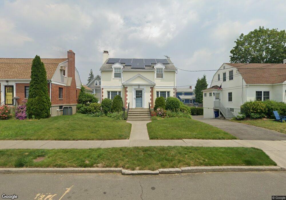
154 Seaside Ave Bridgeport, CT 06605
Black Rock NeighborhoodEstimated Value: $420,000 - $697,000
About This Home
This home is located at 154 Seaside Ave, Bridgeport, CT 06605 and is currently estimated at $581,259, approximately $387 per square foot. 154 Seaside Ave is a home located in Fairfield County with nearby schools including Black Rock School, Bassick High School, and Park City Prep Charter School.
Ownership History
We collect this data history from publicly available records. To have your information removed, we recommend requesting removal directly through your county’s website.
Purchase Details
Purchase Details
Home Values in the Area
Average Home Value in this Area
Purchase History
We collect this data history from publicly available records. To have your information removed, we recommend requesting removal directly through your county’s website.
| Date | Buyer | Sale Price | Title Company |
|---|---|---|---|
| $348,000 | -- | ||
| $348,000 | -- | ||
| $177,500 | -- | ||
| $177,500 | -- |
Mortgage History
We collect this data history from publicly available records. To have your information removed, we recommend requesting removal directly through your county’s website.
| Date | Status | Borrower | Loan Amount |
|---|---|---|---|
| Open | $198,500 | ||
| Closed | $193,638 | ||
| Closed | $210,000 |
Tax History
We collect this data history from publicly available records. To have your information removed, we recommend requesting removal directly through your county’s website.
| Year | Tax Paid | Tax Assessment Tax Assessment Total Assessment is a certain percentage of the fair market value that is determined by local assessors to be the total taxable value of land and additions on the property. | Land | Improvement |
|---|---|---|---|---|
| 2025 | $10,067 | $231,700 | $155,820 | $75,880 |
| 2024 | $10,067 | $231,700 | $155,820 | $75,880 |
| 2023 | $10,067 | $231,700 | $155,820 | $75,880 |
| 2022 | $10,067 | $231,700 | $155,820 | $75,880 |
| 2021 | $10,067 | $231,700 | $155,820 | $75,880 |
| 2020 | $10,675 | $197,730 | $127,860 | $69,870 |
| 2019 | $10,675 | $197,730 | $127,860 | $69,870 |
| 2018 | $10,751 | $197,730 | $127,860 | $69,870 |
| 2017 | $10,751 | $197,730 | $127,860 | $69,870 |
| 2016 | $10,751 | $197,730 | $127,860 | $69,870 |
| 2015 | $9,839 | $233,150 | $135,660 | $97,490 |
| 2014 | $9,839 | $233,150 | $135,660 | $97,490 |
Map
- 97 Fayerweather Terrace
- 350 Grovers Ave Unit 10A
- 8-10 Jetland Place
- 37 Bartram Ave
- 27 Nash Ln Unit 5
- 76-78 Wilson St
- 78 Haddon St Unit 1
- 165 Bennett St
- 106 Brittin Ave
- 3250 Fairfield Ave Unit 206
- 1 Battery Park Dr
- 59 Princeton St
- 855 Brewster St Unit 857
- 148 Alfred St
- 80 Bywater Ln
- 125 Battery Park Dr
- 198 Grasmere Ave
- 21 Ardmore St
- 50 Stone Ridge Way Unit 2A
- 22-26 Waldorf Ave
- 413 Courtland Ave
- 423 Courtland Ave Unit 425
- 425 Courtland Ave Unit 2-3
- 423 Courtland Ave Unit 1
- 423 Courtland Ave Unit 2-3
- 401 Courtland Ave Unit 403
- 174 Seaside Ave
- 395 Courtland Ave
- 184 Seaside Ave
- 164 Seaside Ave
- 334 Midland St Unit 336
- 326 Midland St
- 314 Midland St
- 385 Courtland Ave
- 408 Courtland Ave
- 420 Courtland Ave
- 324 Midland St Unit 326
- 304 Midland St
- 144 Seaside Ave
- 9 Harborview Place
Ask me questions while you tour the home.