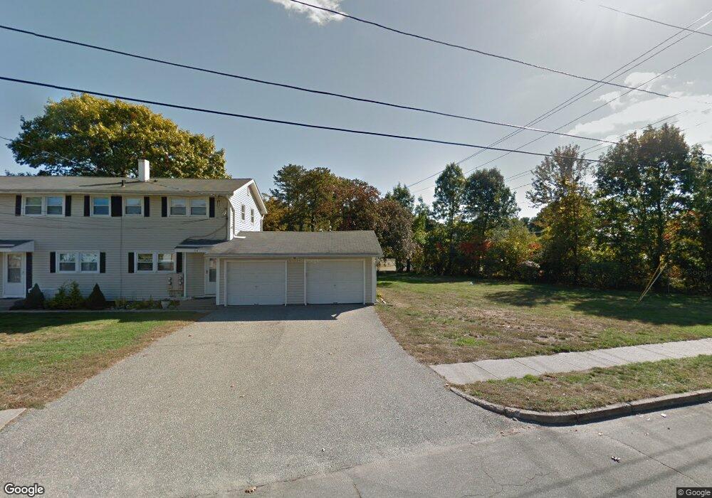
154 Woodbridge Rd Chicopee, MA 01022
Fairview NeighborhoodEstimated Value: $215,074 - $237,000
1
Bed
1
Bath
816
Sq Ft
$280/Sq Ft
Est. Value
About This Home
This home is located at 154 Woodbridge Rd, Chicopee, MA 01022 and is currently estimated at $228,769, approximately $280 per square foot. 154 Woodbridge Rd is a home located in Hampden County with nearby schools including Bowie Elementary School, Fairview Middle School, and Chicopee Comprehensive High School.
Ownership History
Date
Name
Owned For
Owner Type
Purchase Details
Closed on
Oct 9, 2002
Sold by
Mason Cynthia A
Bought by
Greaney Francis D and Greaney Dianne M
Current Estimated Value
Purchase Details
Closed on
Dec 31, 1993
Sold by
Allard Marilyn Wolak
Bought by
Mason Cynthia A
Home Financials for this Owner
Home Financials are based on the most recent Mortgage that was taken out on this home.
Original Mortgage
$60,800
Interest Rate
7%
Mortgage Type
Purchase Money Mortgage
Create a Home Valuation Report for This Property
The Home Valuation Report is an in-depth analysis detailing your home's value as well as a comparison with similar homes in the area
Home Values in the Area
Average Home Value in this Area
Purchase History
| Date | Buyer | Sale Price | Title Company |
|---|---|---|---|
| Greaney Francis D | $90,000 | -- | |
| Mason Cynthia A | $64,000 | -- |
Source: Public Records
Mortgage History
| Date | Status | Borrower | Loan Amount |
|---|---|---|---|
| Previous Owner | Mason Cynthia A | $60,800 |
Source: Public Records
Tax History
| Year | Tax Paid | Tax Assessment Tax Assessment Total Assessment is a certain percentage of the fair market value that is determined by local assessors to be the total taxable value of land and additions on the property. | Land | Improvement |
|---|---|---|---|---|
| 2025 | $2,586 | $170,600 | $0 | $170,600 |
| 2024 | $2,320 | $157,200 | $0 | $157,200 |
| 2023 | $2,180 | $143,900 | $0 | $143,900 |
| 2022 | $2,049 | $120,600 | $0 | $120,600 |
| 2021 | $1,958 | $111,200 | $0 | $111,200 |
| 2020 | $1,748 | $100,100 | $0 | $100,100 |
| 2019 | $1,721 | $95,800 | $0 | $95,800 |
| 2018 | $1,677 | $91,600 | $0 | $91,600 |
| 2017 | $1,695 | $97,900 | $0 | $97,900 |
| 2016 | $1,679 | $99,300 | $0 | $99,300 |
| 2015 | $1,614 | $92,000 | $0 | $92,000 |
| 2014 | $807 | $92,000 | $0 | $92,000 |
Source: Public Records
Map
Nearby Homes
- 72 Honeysuckle Dr
- 60 Honeysuckle Dr
- 165 Applewood Dr
- 1760 Westover Rd Unit 5
- 70 Warwick Rd
- 20 Richmond Way
- 109 Andersen Rd
- 98 Greenpoint Cir
- 130 Celebration Cir
- 81 Mccarthy Ave
- 20 Edbert St
- 523 James St
- 22 Harrington Rd
- 62 Parenteau Ct
- 128 Ann St
- 1246 Granby Rd Unit 66
- 239 Fuller Rd
- 88 Basil Rd
- 56 Longwood Dr
- 68 Colonial Cir Unit C
- 152 Woodbridge Rd
- 152 Woodbridge Rd Unit 152
- 152 Woodbridge Rd Unit 152,6260C
- 148 Woodbridge Rd
- 150 Woodbridge Rd
- 134 Woodbridge Rd
- 134 Woodbridge Rd Unit 34
- 140 Woodbridge Rd
- 138 Woodbridge Rd
- 139 Woodbridge Rd
- 141 Woodbridge Rd
- 143 Woodbridge Rd
- 145 Woodbridge Rd
- 2480 Pendleton Ave
- 2460 Pendleton Ave
- 2440 Pendleton Ave
- 2460 Pendleton Ave
- 2460 Pendleton Ave Unit 2460
- 128 Woodbridge Rd
- 126 Woodbridge Rd
Your Personal Tour Guide
Ask me questions while you tour the home.