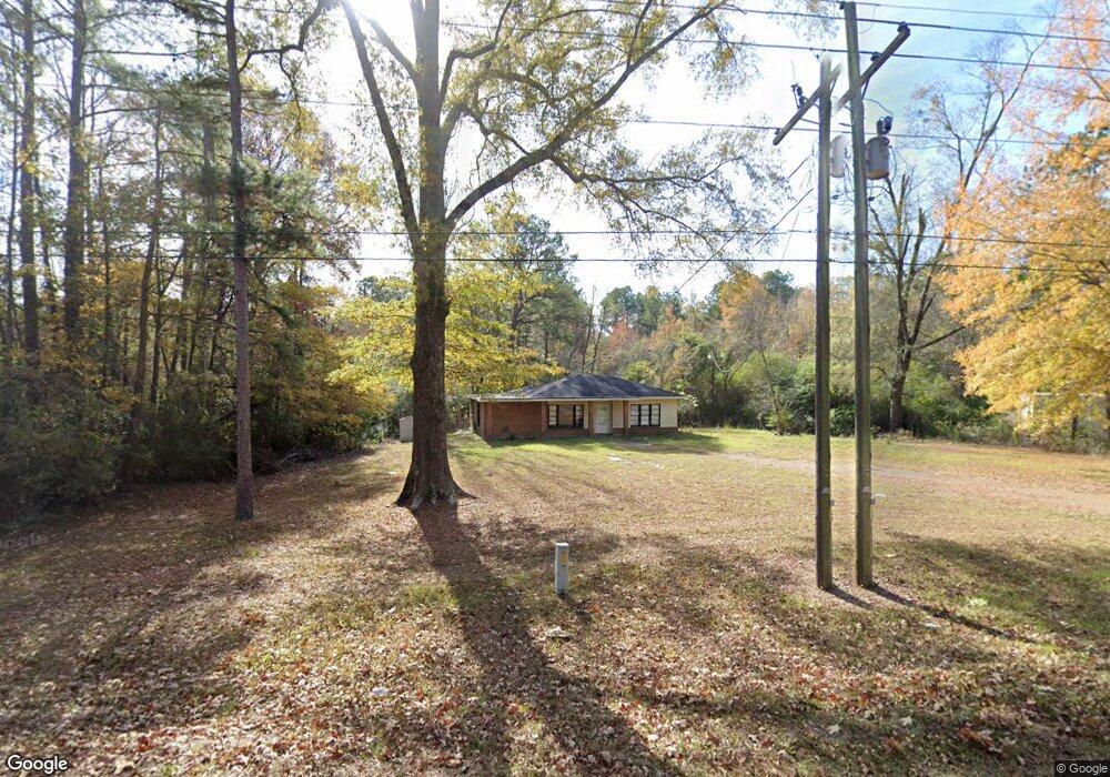
1547 Highway 80 Choudrant, LA 71227
Estimated Value: $110,000 - $527,000
Studio
1
Bath
1,264
Sq Ft
$187/Sq Ft
Est. Value
About This Home
This home is located at 1547 Highway 80, Choudrant, LA 71227 and is currently estimated at $236,144, approximately $186 per square foot. 1547 Highway 80 is a home with nearby schools including Choudrant Elementary School, Choudrant High School, and Ruston Junior High School.
Ownership History
Date
Name
Owned For
Owner Type
Purchase Details
Closed on
Oct 20, 2010
Sold by
Fiebelkorn Jean
Bought by
Jones Michael S
Current Estimated Value
Purchase Details
Closed on
Jul 28, 2005
Sold by
Dubose Leamon and Dubose Glenda Garr
Bought by
Jones Michael Shene
Home Financials for this Owner
Home Financials are based on the most recent Mortgage that was taken out on this home.
Original Mortgage
$47,500
Interest Rate
5.61%
Mortgage Type
New Conventional
Create a Home Valuation Report for This Property
The Home Valuation Report is an in-depth analysis detailing your home's value as well as a comparison with similar homes in the area
Purchase History
| Date | Buyer | Sale Price | Title Company |
|---|---|---|---|
| Jones Michael S | $449 | None Available | |
| Jones Michael Shene | $47,500 | None Available |
Source: Public Records
Mortgage History
| Date | Status | Borrower | Loan Amount |
|---|---|---|---|
| Previous Owner | Jones Michael Shene | $47,500 |
Source: Public Records
Tax History
| Year | Tax Paid | Tax Assessment Tax Assessment Total Assessment is a certain percentage of the fair market value that is determined by local assessors to be the total taxable value of land and additions on the property. | Land | Improvement |
|---|---|---|---|---|
| 2025 | $748 | $8,753 | $587 | $8,166 |
| 2024 | $748 | $8,753 | $587 | $8,166 |
| 2023 | $669 | $7,429 | $944 | $6,485 |
| 2022 | $665 | $7,429 | $944 | $6,485 |
| 2021 | $655 | $7,429 | $944 | $6,485 |
| 2020 | $590 | $6,588 | $944 | $5,644 |
| 2019 | $598 | $6,588 | $944 | $5,644 |
| 2018 | $598 | $6,588 | $944 | $5,644 |
| 2017 | $600 | $6,588 | $944 | $5,644 |
| 2016 | $611 | $0 | $0 | $0 |
| 2015 | $611 | $6,093 | $689 | $5,404 |
| 2013 | $619 | $6,093 | $689 | $5,404 |
Source: Public Records
Map
Nearby Homes
- 1732 Highway 80
- 00 Par Road 43
- 0 N Depot St
- 116 Par Road 48
- 510 Louisiana 556
- Street Address Par Road 48
- 219 Lamar Rd
- 0 Bradford Rd
- 171 Roach Rd
- 0 Par Road 41
- 165 Loblolly Ln
- 220 Crestview Dr
- 120 Lanes End Dr
- 448 Loblolly Ln
- 1094 Roach Rd
- 0 Hwy 556 Unit 11667517
- 0 Hwy 556 Unit 26511769
- 5116 Highway 145
- 00 Cheatwood Rd
- 156 Laney Crocker Rd E
Your Personal Tour Guide
Ask me questions while you tour the home.