155 Croston Rd Vincent, OH 45784
Estimated Value: $65,000 - $167,000
2
Beds
1
Bath
982
Sq Ft
$119/Sq Ft
Est. Value
About This Home
This home is located at 155 Croston Rd, Vincent, OH 45784 and is currently estimated at $116,865, approximately $119 per square foot. 155 Croston Rd is a home with nearby schools including Warren High School.
Ownership History
Date
Name
Owned For
Owner Type
Purchase Details
Closed on
Feb 17, 2026
Sold by
Brookover Jason and Brookover Carrie A
Bought by
Fidurko Dale Edward
Current Estimated Value
Purchase Details
Closed on
Oct 17, 2020
Sold by
Estate Of Paul D Croston
Bought by
Croston Mona
Purchase Details
Closed on
Jul 19, 1990
Bought by
Croston Paul D
Purchase Details
Closed on
Jun 30, 1989
Create a Home Valuation Report for This Property
The Home Valuation Report is an in-depth analysis detailing your home's value as well as a comparison with similar homes in the area
Purchase History
We collect this data history from publicly available records. To have your information removed, we recommend requesting removal directly through your county’s website.
| Date | Buyer | Sale Price | Title Company |
|---|---|---|---|
| Fidurko Dale Edward | $2,000,000 | Bestitle Agency | |
| Croston Mona | -- | None Available | |
| Croston Paul D | $3,000 | -- | |
| Croston Paul D | $3,000 | -- | |
| -- | $1,200 | -- | |
| -- | $1,200 | -- |
Source: Public Records
Tax History
| Year | Tax Paid | Tax Assessment Tax Assessment Total Assessment is a certain percentage of the fair market value that is determined by local assessors to be the total taxable value of land and additions on the property. | Land | Improvement |
|---|---|---|---|---|
| 2024 | $770 | $14,080 | $9,080 | $5,000 |
| 2023 | $547 | $14,080 | $9,080 | $5,000 |
| 2022 | $540 | $14,080 | $9,080 | $5,000 |
| 2021 | $389 | $9,680 | $7,350 | $2,330 |
| 2020 | $389 | $9,680 | $7,350 | $2,330 |
| 2019 | $384 | $9,680 | $7,350 | $2,330 |
| 2018 | $330 | $8,080 | $5,870 | $2,210 |
| 2017 | $326 | $8,080 | $5,870 | $2,210 |
| 2016 | $411 | $8,080 | $5,870 | $2,210 |
| 2015 | $277 | $7,630 | $5,650 | $1,980 |
| 2014 | $393 | $7,630 | $5,650 | $1,980 |
| 2013 | $279 | $7,630 | $5,650 | $1,980 |
Source: Public Records
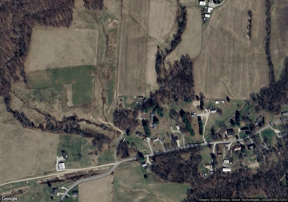
Map
Nearby Homes
- 1515 Brackenridge Rd
- 77 First St
- 0 Layman Rd Unit 25046009
- 0 Layman Rd Unit 25046006
- 6570 State Route 339
- 550 Rocky Point Rd
- 8030 State Route 339
- 10270 Ohio 550
- 365 Knob Dr
- 870 Rubrake Rd Unit 268
- 4801 Veto Rd
- 485 Northlake Dr
- 183 Deming Rd
- 232 Mcgill Rd
- 1421 Mcgill Rd
- 280 Asher Ln
- 1556 Mcgill Rd
- 81 James Rd
- 10507 Ohio 339
- 2620 Burnett Rd
- 120 Croston Rd
- 484 Barrett South Rd
- 428 Barrett South Rd
- 376 Barrett South Rd
- 493 Barrett South Rd
- 374 Barrett South Rd
- 546 Barrett South Rd
- 338 Barrett-South Rd
- 338 Barrett South Rd
- 359 Barrett South Rd Unit TWP
- 359 Barrett South Rd
- 343 Barrett South Rd
- 306 Barrett South Rd
- 323 Barrett South Rd
- 317 Barrett South Rd
- 285 Barrett South Rd
- 670 Barrett South Rd
- 261 Barrett South Rd
- 705 Barrett South Rd
- 239 Barrett South Rd
Your Personal Tour Guide
Ask me questions while you tour the home.