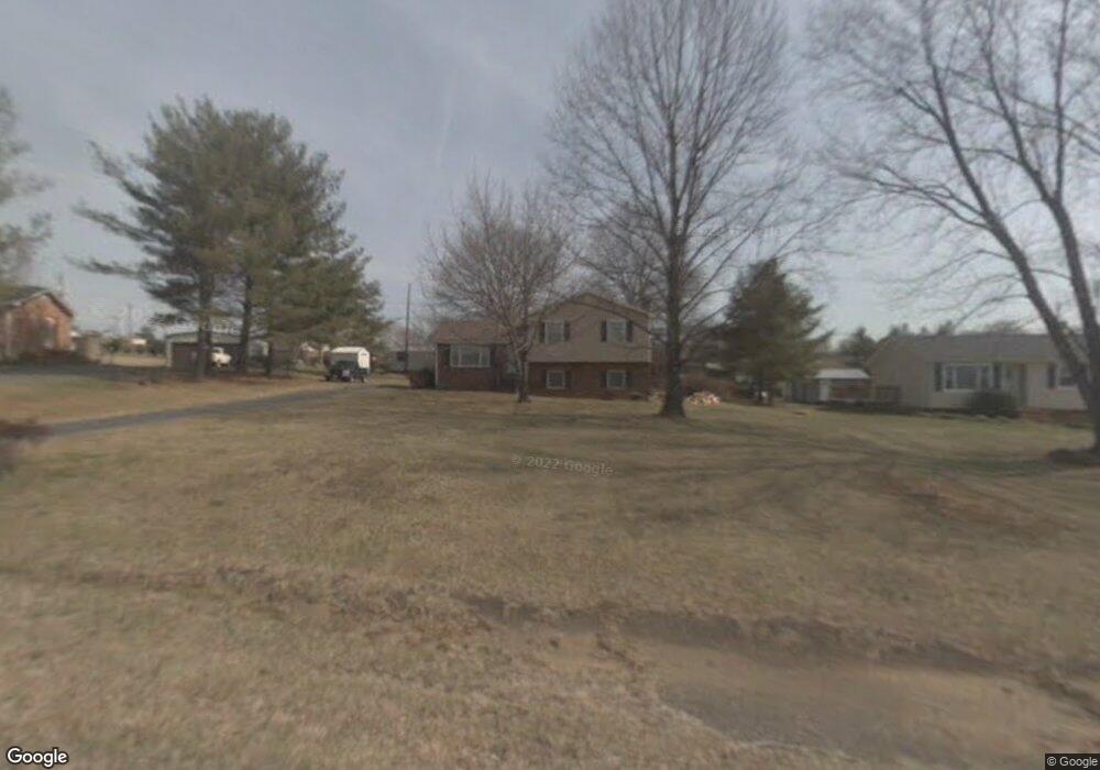
155 Holly Ave Mount Airy, NC 27030
Estimated Value: $173,000 - $218,576
3
Beds
1
Bath
1,085
Sq Ft
$182/Sq Ft
Est. Value
About This Home
This home is located at 155 Holly Ave, Mount Airy, NC 27030 and is currently estimated at $197,644, approximately $182 per square foot. 155 Holly Ave is a home located in Surry County with nearby schools including Pilot Mountain Elementary School, Pilot Mountain Middle School, and East Surry High School.
Ownership History
Date
Name
Owned For
Owner Type
Purchase Details
Closed on
Nov 21, 2025
Sold by
Smith Fern J and Smith Brenda Fern
Bought by
Smith Brenda Fern Johnson
Current Estimated Value
Home Financials for this Owner
Home Financials are based on the most recent Mortgage that was taken out on this home.
Original Mortgage
$301,500
Outstanding Balance
$298,029
Interest Rate
6.17%
Mortgage Type
Reverse Mortgage Home Equity Conversion Mortgage
Estimated Equity
-$100,385
Purchase Details
Closed on
Feb 10, 2012
Sold by
Smith Saunders Alton and Smith Fern J
Bought by
Smith Saunders Alton and Smith Fern J
Home Financials for this Owner
Home Financials are based on the most recent Mortgage that was taken out on this home.
Original Mortgage
$74,689
Interest Rate
3.5%
Mortgage Type
FHA
Create a Home Valuation Report for This Property
The Home Valuation Report is an in-depth analysis detailing your home's value as well as a comparison with similar homes in the area
Purchase History
| Date | Buyer | Sale Price | Title Company |
|---|---|---|---|
| Smith Brenda Fern Johnson | -- | National Closing Solutions | |
| Smith Saunders Alton | -- | None Available |
Source: Public Records
Mortgage History
| Date | Status | Borrower | Loan Amount |
|---|---|---|---|
| Open | Smith Brenda Fern Johnson | $301,500 | |
| Closed | Smith Brenda Fern Johnson | $301,500 | |
| Previous Owner | Smith Saunders Alton | $74,689 |
Source: Public Records
Tax History
| Year | Tax Paid | Tax Assessment Tax Assessment Total Assessment is a certain percentage of the fair market value that is determined by local assessors to be the total taxable value of land and additions on the property. | Land | Improvement |
|---|---|---|---|---|
| 2025 | $881 | $140,380 | $11,700 | $128,680 |
| 2024 | $711 | $106,710 | $11,700 | $95,010 |
| 2023 | $699 | $106,710 | $11,700 | $95,010 |
| 2022 | $699 | $106,710 | $11,700 | $95,010 |
| 2021 | $711 | $106,710 | $11,700 | $95,010 |
| 2020 | $626 | $89,780 | $11,700 | $78,080 |
| 2019 | $623 | $89,780 | $0 | $0 |
| 2018 | $621 | $89,780 | $0 | $0 |
| 2017 | $610 | $88,250 | $0 | $0 |
| 2016 | $610 | $88,250 | $0 | $0 |
| 2013 | -- | $88,250 | $0 | $0 |
Source: Public Records
Map
Nearby Homes
- TBD Holly Springs Rd
- 000 Holly Springs Rd
- 1114 Holly Springs Rd
- 00 Brickhaven Ln
- 244 Glass Rd
- 200 Englewood Trail
- Lot 5 Morosko Ln
- Lot 6 Morosko Ln
- 1319 S Old Us Highway 52
- 282 Howell Rd
- 0 Chestnut Ridge Rd
- 2183 Westfield Rd
- 166 Town Ln
- 00 S Andy Griffith Pkwy
- 446 Gilley Rd
- Tbd Farmbrook Rd
- xx Gilley Rd Unit 20.63 acres
- 1919 Westfield Rd
- 207 Hersey Collins Rd
- 01 Farmbrook Rd
Your Personal Tour Guide
Ask me questions while you tour the home.