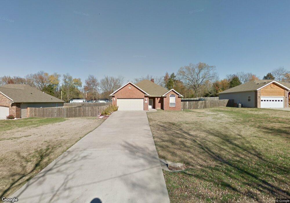
155 Michaels Dr Hollister, MO 65672
Estimated Value: $238,982 - $378,000
Studio
--
Bath
2,174
Sq Ft
$139/Sq Ft
Est. Value
About This Home
This home is located at 155 Michaels Dr, Hollister, MO 65672 and is currently estimated at $302,496, approximately $139 per square foot. 155 Michaels Dr is a home with nearby schools including Hollister Elementary School, Hollister Middle School, and Hollister High School.
Ownership History
Date
Name
Owned For
Owner Type
Purchase Details
Closed on
Jun 7, 2006
Sold by
Wade Ween Bob and Wade Jane
Bought by
Ozark Mountain Home Inc
Current Estimated Value
Home Financials for this Owner
Home Financials are based on the most recent Mortgage that was taken out on this home.
Original Mortgage
$171,000
Outstanding Balance
$100,478
Interest Rate
6.56%
Mortgage Type
Construction
Estimated Equity
$202,018
Create a Home Valuation Report for This Property
The Home Valuation Report is an in-depth analysis detailing your home's value as well as a comparison with similar homes in the area
Home Values in the Area
Average Home Value in this Area
Purchase History
| Date | Buyer | Sale Price | Title Company |
|---|---|---|---|
| Ozark Mountain Home Inc | -- | -- |
Source: Public Records
Mortgage History
| Date | Status | Borrower | Loan Amount |
|---|---|---|---|
| Open | Ozark Mountain Home Inc | $171,000 |
Source: Public Records
Tax History
| Year | Tax Paid | Tax Assessment Tax Assessment Total Assessment is a certain percentage of the fair market value that is determined by local assessors to be the total taxable value of land and additions on the property. | Land | Improvement |
|---|---|---|---|---|
| 2025 | $1,346 | $20,710 | -- | -- |
| 2023 | $1,346 | $24,260 | $0 | $0 |
| 2022 | $1,382 | $25,300 | $0 | $0 |
| 2021 | $1,336 | $25,300 | $0 | $0 |
| 2019 | $1,211 | $22,430 | $0 | $0 |
| 2018 | $1,343 | $24,410 | $0 | $0 |
| 2017 | $1,329 | $24,410 | $0 | $0 |
| 2016 | $1,314 | $24,410 | $0 | $0 |
| 2015 | $1,306 | $24,410 | $0 | $0 |
| 2014 | -- | $23,320 | $0 | $0 |
Source: Public Records
Map
Nearby Homes
- 235 Sagers Ln
- 243 Sagers Ln
- 229 Sagers Ln
- 181 Sagers Ln
- 1148 State Highway Bb
- 177 Foley St
- 135 Travis St
- 215 Sagers Ln
- Lot 1 Cedar Landing Subdivision
- 185 Pin Oak Ct
- 335 Knox Ave
- 142 Oakwood Estates Ct
- 292 Rea St
- 304 Greenbrier Ln
- 303 Greenbrier Dr
- 317 Hawthorne St
- 485 Hill Billy Ln
- 145 Kelli Cir
- 145 Matthew Ln
- 459 Greenbriar Dr
- 135 Michaels Dr
- 170 Michaels Dr
- 183 Michaels Dr
- 182 Michaels Dr
- 169 N Kays Ln
- 251 Lacis Ln
- 238 Lacis Ln
- 201 Michaels Dr
- 305 Sagers Ln
- 1215 State Highway Bb
- 133 N Kays Ln
- 183 Lacis Ln
- 218 Michaels Dr
- 297 Sagers Ln
- 307 Sagers Ln
- 1235 State Highway Bb
- 235 Michaels Dr
- 930 Evergreen Ave
- 198 Lacis Ln
- 1253 State Highway Bb
Your Personal Tour Guide
Ask me questions while you tour the home.