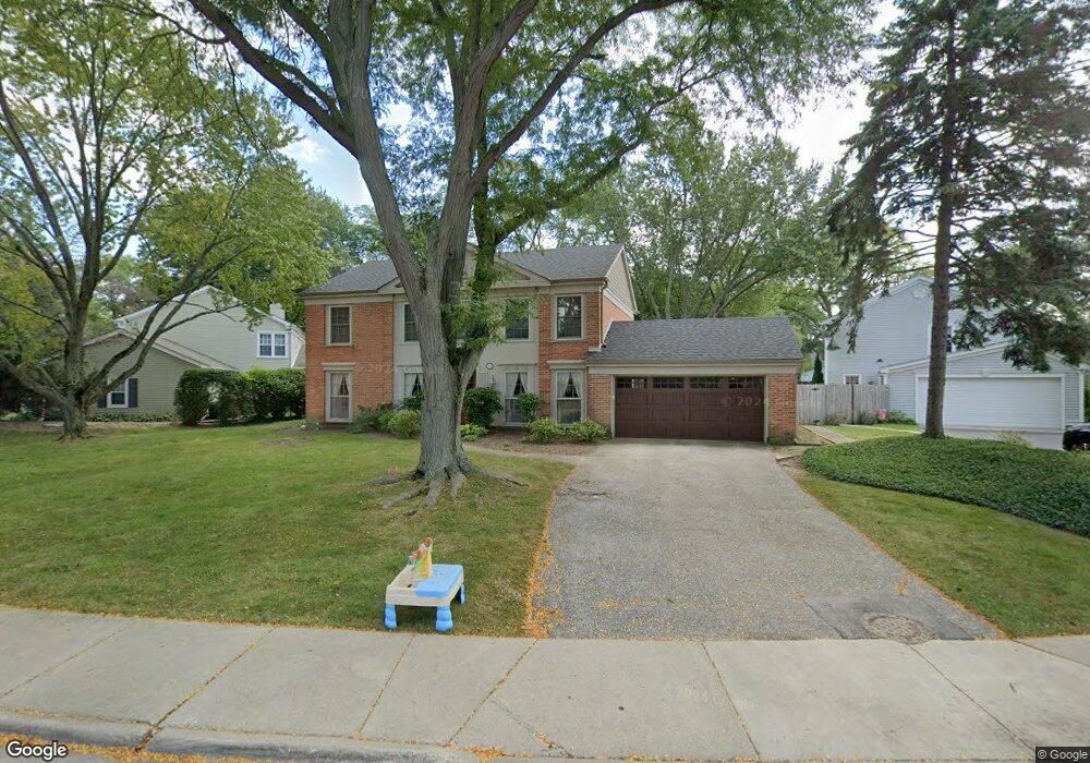
155 Millstone Rd Deerfield, IL 60015
Briarwood NeighborhoodEstimated Value: $661,000 - $835,000
About This Home
This home is located at 155 Millstone Rd, Deerfield, IL 60015 and is currently estimated at $779,797, approximately $306 per square foot. 155 Millstone Rd is a home located in Lake County with nearby schools including Kipling Elementary School, Alan B Shepard Middle School, and Deerfield High School.
Ownership History
We collect this data history from publicly available records. To have your information removed, we recommend requesting removal directly through your county’s website.
Purchase Details
Home Financials for this Owner
Home Financials are based on the most recent Mortgage that was taken out on this home.Purchase Details
Home Financials for this Owner
Home Financials are based on the most recent Mortgage that was taken out on this home.Home Values in the Area
Average Home Value in this Area
Purchase History
We collect this data history from publicly available records. To have your information removed, we recommend requesting removal directly through your county’s website.
| Date | Buyer | Sale Price | Title Company |
|---|---|---|---|
| $632,500 | Premier Title | ||
| $263,333 | Lawyers Title Insurance Corp |
Mortgage History
We collect this data history from publicly available records. To have your information removed, we recommend requesting removal directly through your county’s website.
| Date | Status | Borrower | Loan Amount |
|---|---|---|---|
| Open | $417,000 | ||
| Previous Owner | $300,000 |
Tax History
We collect this data history from publicly available records. To have your information removed, we recommend requesting removal directly through your county’s website.
| Year | Tax Paid | Tax Assessment Tax Assessment Total Assessment is a certain percentage of the fair market value that is determined by local assessors to be the total taxable value of land and additions on the property. | Land | Improvement |
|---|---|---|---|---|
| 2025 | $17,520 | $210,181 | $61,427 | $148,754 |
| 2024 | $16,025 | $198,153 | $57,912 | $140,241 |
| 2023 | $16,025 | $178,613 | $52,201 | $126,412 |
| 2022 | $17,036 | $185,742 | $57,345 | $128,397 |
| 2021 | $16,140 | $179,548 | $55,433 | $124,115 |
| 2020 | $15,472 | $179,548 | $55,433 | $124,115 |
| 2019 | $15,074 | $178,708 | $55,174 | $123,534 |
| 2018 | $15,013 | $185,595 | $60,410 | $125,185 |
| 2017 | $14,871 | $184,525 | $60,062 | $124,463 |
| 2016 | $14,308 | $175,671 | $57,180 | $118,491 |
| 2015 | $13,839 | $163,217 | $53,126 | $110,091 |
| 2014 | $13,115 | $151,491 | $63,746 | $87,745 |
| 2012 | $12,736 | $152,375 | $64,118 | $88,257 |
Map
- 1804 Winthrop Rd
- 685 Wicklow Rd
- 860 Heather Rd
- 895 Sumac Rd
- 705 Ridge Rd
- 1958 Castlewood Rd
- 980 Brand Ln
- 707 Brierhill Rd
- 1230 Ferndale Ave
- 1242 Arbor Ave
- 1071 Deerfield Place Unit 1071
- 939 Westcliff Ln
- 1490 Avignon Ct
- 1284 Deerfield Place
- 912 Oxford Rd
- 755 Kipling Place
- 901 Kenton Rd
- 757 Kipling Place
- 850 Kenton Rd
- 860 Kenton Rd
- 107 Millstone Rd
- 846 Smoke Tree Rd
- 841 Fox Hunt Trail
- 834 Smoke Tree Rd
- 831 Fox Hunt Trail
- 160 Millstone Rd
- 150 Millstone Rd
- 140 Millstone Rd
- 826 Smoke Tree Rd
- 170 Millstone Rd
- 819 Fox Hunt Trail
- 845 Smoke Tree Rd
- 835 Smoke Tree Rd
- 855 Smoke Tree Rd
- 180 Millstone Rd
- 114 Millstone Rd
- 814 Smoke Tree Rd
- 820 Fox Hunt Trail
- 827 Smoke Tree Rd
- 807 Fox Hunt Trail
Ask me questions while you tour the home.