155 Woodside Ct Mansfield, OH 44904
Estimated Value: $454,000 - $541,000
4
Beds
3
Baths
3,311
Sq Ft
$156/Sq Ft
Est. Value
About This Home
This home is located at 155 Woodside Ct, Mansfield, OH 44904 and is currently estimated at $514,882, approximately $155 per square foot. 155 Woodside Ct is a home located in Richland County with nearby schools including Lexington High School and Grace Christian School.
Ownership History
Date
Name
Owned For
Owner Type
Purchase Details
Closed on
Oct 29, 2021
Sold by
Marie Monastra Carmella
Bought by
Monastra James Paul
Current Estimated Value
Purchase Details
Closed on
Aug 7, 2017
Sold by
Monastra Basil H and Monastra Carmella M
Bought by
Monastra James Paul and Monastra Basil H
Purchase Details
Closed on
Sep 20, 2005
Sold by
Sorrenti Angelo and Sorrenti Michelle
Bought by
Monastra Basil H and Monastra Carmelia M
Home Financials for this Owner
Home Financials are based on the most recent Mortgage that was taken out on this home.
Original Mortgage
$300,000
Interest Rate
5.83%
Mortgage Type
Purchase Money Mortgage
Purchase Details
Closed on
Oct 29, 2004
Sold by
Bailey Investments Inc
Bought by
Sorrenti Angelo and Sorrenti Michelle
Create a Home Valuation Report for This Property
The Home Valuation Report is an in-depth analysis detailing your home's value as well as a comparison with similar homes in the area
Home Values in the Area
Average Home Value in this Area
Purchase History
| Date | Buyer | Sale Price | Title Company |
|---|---|---|---|
| Monastra James Paul | -- | -- | |
| Monastra James Paul | -- | None Available | |
| Monastra Basil H | -- | Attorney | |
| Monastra Basil H | $47,000 | Chicago Title | |
| Sorrenti Angelo | $45,000 | -- |
Source: Public Records
Mortgage History
| Date | Status | Borrower | Loan Amount |
|---|---|---|---|
| Previous Owner | Monastra Basil H | $300,000 |
Source: Public Records
Tax History
| Year | Tax Paid | Tax Assessment Tax Assessment Total Assessment is a certain percentage of the fair market value that is determined by local assessors to be the total taxable value of land and additions on the property. | Land | Improvement |
|---|---|---|---|---|
| 2025 | $8,611 | $168,080 | $17,770 | $150,310 |
| 2024 | $8,611 | $168,080 | $17,770 | $150,310 |
| 2023 | $9,180 | $168,080 | $17,770 | $150,310 |
| 2022 | $7,750 | $121,450 | $14,390 | $107,060 |
| 2021 | $7,214 | $121,450 | $14,390 | $107,060 |
| 2020 | $7,219 | $121,450 | $14,390 | $107,060 |
| 2019 | $6,453 | $100,890 | $11,950 | $88,940 |
| 2018 | $5,603 | $100,890 | $11,950 | $88,940 |
| 2017 | $5,533 | $100,890 | $11,950 | $88,940 |
| 2016 | $5,517 | $98,400 | $10,730 | $87,670 |
| 2015 | $5,517 | $98,400 | $10,730 | $87,670 |
| 2014 | $5,333 | $98,400 | $10,730 | $87,670 |
| 2012 | $2,615 | $101,450 | $11,070 | $90,380 |
Source: Public Records
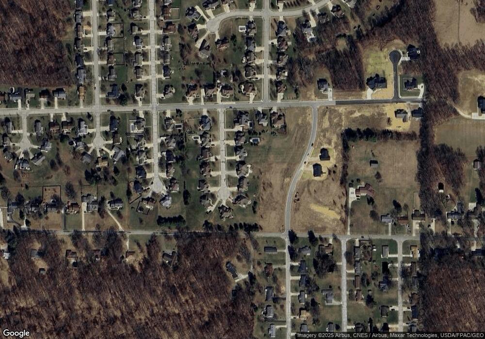
Map
Nearby Homes
- 135 Foxcroft Rd
- 0 Crossbridge Ct
- 29 Woodside Blvd
- 0 Fox Rd
- 0 Lexington Ontario Rd Unit 9072956
- 246 Holiday Hill
- 324 Chapman Way Unit 324
- 51 Maple St
- 166 Templeton Terrace
- 279 Hampton Rd
- 98 W Main St
- 48 Grange St
- 142 Essex Rd
- 80 Essex Cir
- 0 Ohio 97
- 142 Sherwood Dr
- 80 Essex Rd
- 40 Holiday Hill
- 0 U S Highway 42
- 3401 Whitetail Dr W
- 147 Woodside Ct
- 163 Woodside Ct
- 139 Woodside Ct
- 156 Woodside Ct
- 146 Woodside Ct
- 164 Woodside Ct
- 131 Woodside Ct
- 140 Woodside Ct
- 505 Highridge Rd
- 176 Woodside Ct
- 505 Highridge Rd
- 495 Highridge Rd
- 170 Woodside Ct
- 132 Woodside Ct
- 0 Highridge Rd
- 219 Foxcroft Rd
- 213 Foxcroft Rd
- 205 Foxcroft Rd
- 195 Foxcroft Rd
- 122 Woodside Ct
Your Personal Tour Guide
Ask me questions while you tour the home.