1550 Coventry Trail Manning, SC 29102
Estimated Value: $115,000 - $366,000
Studio
--
Bath
--
Sq Ft
11.6
Acres Lot
About This Home
This home is located at 1550 Coventry Trail, Manning, SC 29102 and is currently estimated at $191,119. 1550 Coventry Trail is a home.
Ownership History
Date
Name
Owned For
Owner Type
Purchase Details
Closed on
Aug 5, 2014
Sold by
Newsom Joe Edward
Bought by
Roach Ronnie W and Roach Sonja A
Current Estimated Value
Home Financials for this Owner
Home Financials are based on the most recent Mortgage that was taken out on this home.
Original Mortgage
$45,000
Interest Rate
4.19%
Mortgage Type
Purchase Money Mortgage
Purchase Details
Closed on
Jun 10, 2010
Sold by
Sawyer Doris Jean and Mentasti Edward
Bought by
Newsome Joe Edward
Purchase Details
Closed on
Jan 31, 2006
Sold by
Worten Cleveland
Bought by
Sawyer Doris Jean and Mentasti Edward
Create a Home Valuation Report for This Property
The Home Valuation Report is an in-depth analysis detailing your home's value as well as a comparison with similar homes in the area
Purchase History
We collect this data history from publicly available records. To have your information removed, we recommend requesting removal directly through your county’s website.
| Date | Buyer | Sale Price | Title Company |
|---|---|---|---|
| Roach Ronnie W | $50,000 | None Available | |
| Newsome Joe Edward | $48,500 | None Available | |
| Sawyer Doris Jean | $45,000 | None Available |
Source: Public Records
Mortgage History
We collect this data history from publicly available records. To have your information removed, we recommend requesting removal directly through your county’s website.
| Date | Status | Borrower | Loan Amount |
|---|---|---|---|
| Closed | Roach Ronnie W | $45,000 |
Source: Public Records
Tax History
| Year | Tax Paid | Tax Assessment Tax Assessment Total Assessment is a certain percentage of the fair market value that is determined by local assessors to be the total taxable value of land and additions on the property. | Land | Improvement |
|---|---|---|---|---|
| 2025 | $274 | $1,179 | $217 | $962 |
| 2024 | $274 | $1,179 | $217 | $962 |
| 2023 | $268 | $1,660 | $217 | $1,443 |
| 2022 | $14 | $43 | $43 | $0 |
| 2021 | $81 | $235 | $43 | $192 |
| 2020 | $81 | $235 | $0 | $0 |
| 2019 | $58 | $235 | $0 | $0 |
| 2018 | $74 | $235 | $0 | $0 |
| 2017 | $12 | $44 | $0 | $0 |
| 2016 | $12 | $44 | $0 | $0 |
| 2015 | $12 | $44 | $44 | $0 |
| 2014 | $848 | $2,784 | $2,784 | $0 |
| 2013 | -- | $44 | $44 | $0 |
Source: Public Records
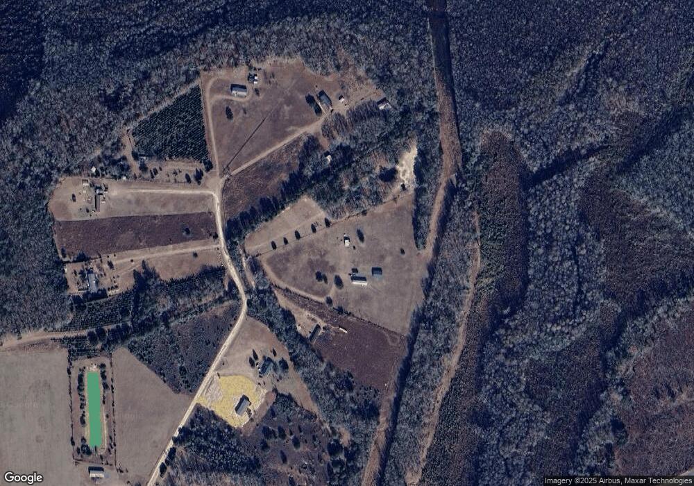
Map
Nearby Homes
- 1030 Cook St
- 1763 Kingstree Hwy
- 0 Paddock Rd
- 7049 Tobias Rd
- 0 June Burn Rd
- 43 Acres - 5432 June Burn Rd
- 2213 Mahon Rd
- 1760 Baggette Rd
- 6541 June Burn Rd
- 0 Holladay Rd
- TBD Bloomville Rd
- 1044 Mulligan Dr
- 1200 Mulligan Dr
- 1052 Mulligan Dr
- 1060 Hideout Dr
- 1064 Mulligan Dr
- 1092 Mulligan Dr
- 1100 Mulligan Dr
- 1116 Mulligan Dr
- 1130 Mulligan Dr
- 1580 Coventry Trail
- 1520 Coventry Trail
- 1648 Coventry Trail
- 1658 Coventry Trail
- 1649 Coventry Trail
- 1364 Coventry Trail
- 0 Coventry Trail Unit 118613
- 0 Coventry Trail Unit 55536
- 0 Coventry Trail Unit 1400981
- Lot A484 Coventry Trail
- TBD Coventry Trail
- 1247 Coventry Trail
- 1600 Meagen Ln
- 1650 Meagen Ln
- 1108 Coventry Trail
- 1487 Meagen Ln
- 1463 Meagen Ln
- 1463 Meagen Ln
- 1343 Auburn Dr
- 2913 Kingstree Hwy
Your Personal Tour Guide
Ask me questions while you tour the home.