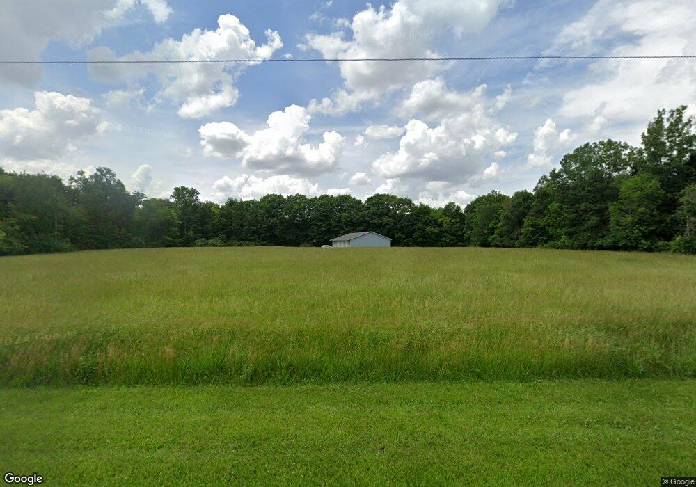
15587 Custar Rd Grand Rapids, OH 43522
Estimated Value: $148,228 - $258,000
Studio
--
Bath
--
Sq Ft
6.2
Acres Lot
About This Home
This home is located at 15587 Custar Rd, Grand Rapids, OH 43522 and is currently estimated at $203,114. 15587 Custar Rd is a home located in Wood County with nearby schools including Otsego Elementary School, Otsego Junior High School, and Otsego High School.
Ownership History
Date
Name
Owned For
Owner Type
Purchase Details
Closed on
May 15, 2002
Sold by
Arno David M and Arno Linda L
Bought by
Smithers Gerald L and Smithers Amy D
Current Estimated Value
Home Financials for this Owner
Home Financials are based on the most recent Mortgage that was taken out on this home.
Original Mortgage
$110,000
Outstanding Balance
$45,335
Interest Rate
7.16%
Estimated Equity
$157,779
Purchase Details
Closed on
May 20, 1993
Sold by
Rajner Albert P
Bought by
Arno David M
Create a Home Valuation Report for This Property
The Home Valuation Report is an in-depth analysis detailing your home's value as well as a comparison with similar homes in the area
Purchase History
| Date | Buyer | Sale Price | Title Company |
|---|---|---|---|
| Smithers Gerald L | $137,500 | -- | |
| Arno David M | $42,000 | -- |
Source: Public Records
Mortgage History
| Date | Status | Borrower | Loan Amount |
|---|---|---|---|
| Open | Smithers Gerald L | $110,000 |
Source: Public Records
Tax History
| Year | Tax Paid | Tax Assessment Tax Assessment Total Assessment is a certain percentage of the fair market value that is determined by local assessors to be the total taxable value of land and additions on the property. | Land | Improvement |
|---|---|---|---|---|
| 2025 | $1,229 | $27,335 | $18,585 | $8,750 |
| 2024 | $1,224 | $27,335 | $18,585 | $8,750 |
| 2023 | $1,224 | $27,340 | $18,590 | $8,750 |
| 2021 | $1,361 | $27,520 | $16,560 | $10,960 |
| 2020 | $1,364 | $27,520 | $16,560 | $10,960 |
| 2019 | $1,293 | $25,310 | $16,560 | $8,750 |
| 2018 | $1,290 | $25,310 | $16,560 | $8,750 |
| 2017 | $1,259 | $25,310 | $16,560 | $8,750 |
| 2016 | $1,209 | $24,820 | $15,960 | $8,860 |
| 2015 | $1,209 | $24,820 | $15,960 | $8,860 |
| 2014 | $1,193 | $24,820 | $15,960 | $8,860 |
| 2013 | $1,301 | $24,820 | $15,960 | $8,860 |
Source: Public Records
Map
Nearby Homes
- 23542 4th St
- 23763 Front St
- 0 Manore Lot A Rd Unit 6130402
- 0 Manore Lot B Rd Unit 6130403
- 13439 Ash St
- 13375 Silver St
- 12200 S River Rd
- 13270 Maple St
- 20390 Locust St
- 20280 Locust St
- 20175 Taylor St
- 0 Kellogg Rd Unit 6125521
- 234 N East St
- 10855 S River Rd
- 17345 Reams Rd
- 440 Vine St
- 527 Catherine Dr
- 9100 Providence-Neapolis-swanton Rd
- 1298 County Road T3
- 77 Back Bay Rd
- 15673 Custar Rd
- 15549 Custar Rd
- 15711 Custar Rd
- 15784 Custar Rd
- 15355 Custar Rd
- 15865 Custar Rd
- 15931 Custar Rd
- 22966 Poe Rd
- 22900 Poe Rd
- 23217 Poe Rd
- 0 Poe Rd St W Unit 5107433
- 22798 Poe Rd
- 22700 Poe Rd
- 23461 Poe Rd
- 22680 Bowling Green Rd W
- 22601 Poe Rd
- 23567 Labino Rd
- 23410 23410 State Rte 6
- 22550 Poe Rd
- 16195 Beaver Creek Rd
Your Personal Tour Guide
Ask me questions while you tour the home.