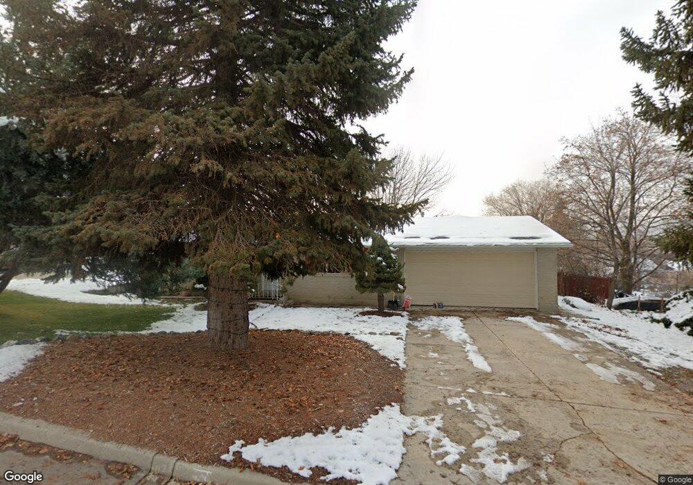
156 S 600 E Alpine, UT 84004
Estimated Value: $675,324 - $848,000
3
Beds
3
Baths
1,651
Sq Ft
$467/Sq Ft
Est. Value
About This Home
This home is located at 156 S 600 E, Alpine, UT 84004 and is currently estimated at $770,331, approximately $466 per square foot. 156 S 600 E is a home located in Utah County with nearby schools including Alpine School, Timberline Middle School, and Lone Peak High School.
Ownership History
Date
Name
Owned For
Owner Type
Purchase Details
Closed on
Sep 9, 2004
Sold by
Donna Jean Gill Trust
Bought by
Turkington Connie J
Current Estimated Value
Home Financials for this Owner
Home Financials are based on the most recent Mortgage that was taken out on this home.
Original Mortgage
$71,000
Outstanding Balance
$35,597
Interest Rate
6.06%
Mortgage Type
Purchase Money Mortgage
Estimated Equity
$734,734
Purchase Details
Closed on
Jul 12, 2004
Sold by
Gill Donna J and Warpack Robert D
Bought by
Turkington Connie J
Home Financials for this Owner
Home Financials are based on the most recent Mortgage that was taken out on this home.
Original Mortgage
$71,000
Outstanding Balance
$35,597
Interest Rate
6.06%
Mortgage Type
Purchase Money Mortgage
Estimated Equity
$734,734
Purchase Details
Closed on
Dec 24, 1997
Sold by
Gill Donna J
Bought by
Turkington Scott M and Turkington Connie J
Home Financials for this Owner
Home Financials are based on the most recent Mortgage that was taken out on this home.
Original Mortgage
$59,000
Interest Rate
7.14%
Create a Home Valuation Report for This Property
The Home Valuation Report is an in-depth analysis detailing your home's value as well as a comparison with similar homes in the area
Home Values in the Area
Average Home Value in this Area
Purchase History
| Date | Buyer | Sale Price | Title Company |
|---|---|---|---|
| Turkington Connie J | -- | Commerce Land Title | |
| Turkington Connie J | -- | -- | |
| Turkington Scott M | -- | -- |
Source: Public Records
Mortgage History
| Date | Status | Borrower | Loan Amount |
|---|---|---|---|
| Open | Turkington Connie J | $71,000 | |
| Previous Owner | Turkington Scott M | $59,000 |
Source: Public Records
Tax History
| Year | Tax Paid | Tax Assessment Tax Assessment Total Assessment is a certain percentage of the fair market value that is determined by local assessors to be the total taxable value of land and additions on the property. | Land | Improvement |
|---|---|---|---|---|
| 2025 | $2,465 | $314,875 | -- | -- |
| 2024 | $2,465 | $287,265 | $0 | $0 |
| 2023 | $2,140 | $267,795 | $0 | $0 |
| 2022 | $2,163 | $262,845 | $0 | $0 |
| 2021 | $1,795 | $338,900 | $243,800 | $95,100 |
| 2020 | $1,704 | $314,800 | $221,600 | $93,200 |
| 2019 | $1,569 | $302,600 | $221,600 | $81,000 |
| 2018 | $1,459 | $278,000 | $197,000 | $81,000 |
| 2017 | $1,508 | $152,900 | $0 | $0 |
| 2016 | $1,670 | $157,850 | $0 | $0 |
| 2015 | $1,498 | $133,980 | $0 | $0 |
| 2014 | $1,405 | $124,300 | $0 | $0 |
Source: Public Records
Map
Nearby Homes
- 202 E Alpine Dr
- 887 E Village Way
- 499 E 300 N
- 48 N 100 E
- 1063 E Alpine Dr
- 30 S Main St
- 1103 E Lone Peak Dr
- 596 S Cascade Ct
- 250 S Main St Unit 25
- 250 S Main St Unit 9
- 250 S Main St Unit 7
- 1201 E Preston Dr
- 475 Grove Dr
- 1296 Oakwood Cir
- 259 Twin River Loop
- 875 S Blue Ridge Ln
- 682 Healey Blvd
- 151 Glacier Lily Dr
- 196 Holly Dr
- 248 Deerfield Dr
- 174 S 600 E
- 582 E 100 S
- 546 River Meadow Dr
- 568 River Meadow Dr
- 155 S 600 E
- 192 S 600 St E
- 650 Grove Dr
- 620 E 100 S
- 165 S 600 E
- 522 River Meadow Dr
- 531 River Meadow Dr
- 212 S 600 E
- 512 River Meadow Dr
- 199 S 600 E
- 519 River Meadow Dr
- 518 E 100 S
- 642 E 100 S
- 506 River Meadow Dr
- 493 River Meadow Dr
- 500 E 100 S
Your Personal Tour Guide
Ask me questions while you tour the home.