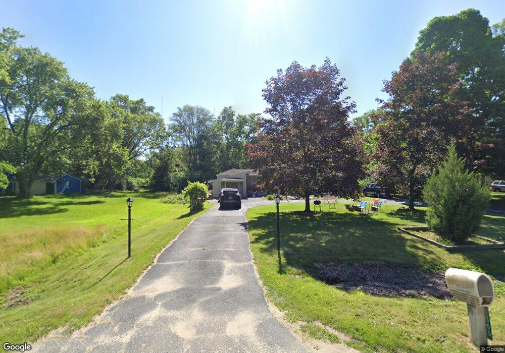
1560 Leforge Rd Ypsilanti, MI 48198
Estimated Value: $213,000 - $307,000
2
Beds
2
Baths
1,341
Sq Ft
$198/Sq Ft
Est. Value
About This Home
This home is located at 1560 Leforge Rd, Ypsilanti, MI 48198 and is currently estimated at $266,016, approximately $198 per square foot. 1560 Leforge Rd is a home located in Washtenaw County with nearby schools including Huron Valley Catholic School.
Ownership History
Date
Name
Owned For
Owner Type
Purchase Details
Closed on
Nov 15, 2010
Sold by
Secretary Of Veterans Affairs
Bought by
Khailany Zozek K
Current Estimated Value
Purchase Details
Closed on
Nov 17, 2009
Sold by
Citimortgage Inc
Bought by
Department Of Veterans Affairs
Purchase Details
Closed on
Oct 29, 2009
Sold by
Darnell Wade C and Champagne Ellen
Bought by
Citimortgage Inc
Purchase Details
Closed on
Jan 12, 2004
Sold by
Michael Lawrence R and Michael Lawrence Robert
Bought by
Darnell Wade C and Champagne Ellen
Home Financials for this Owner
Home Financials are based on the most recent Mortgage that was taken out on this home.
Original Mortgage
$180,775
Interest Rate
5.91%
Mortgage Type
VA
Purchase Details
Closed on
Jun 13, 2003
Sold by
Michael Lawrence R and Michael Brenda L
Bought by
Michael Lawrence R and Michael Lawrence Robert
Create a Home Valuation Report for This Property
The Home Valuation Report is an in-depth analysis detailing your home's value as well as a comparison with similar homes in the area
Home Values in the Area
Average Home Value in this Area
Purchase History
| Date | Buyer | Sale Price | Title Company |
|---|---|---|---|
| Khailany Zozek K | -- | None Available | |
| Department Of Veterans Affairs | -- | None Available | |
| Citimortgage Inc | $63,453 | None Available | |
| Darnell Wade C | $175,000 | -- | |
| Michael Lawrence R | $65,000 | -- |
Source: Public Records
Mortgage History
| Date | Status | Borrower | Loan Amount |
|---|---|---|---|
| Previous Owner | Darnell Wade C | $180,775 |
Source: Public Records
Tax History
| Year | Tax Paid | Tax Assessment Tax Assessment Total Assessment is a certain percentage of the fair market value that is determined by local assessors to be the total taxable value of land and additions on the property. | Land | Improvement |
|---|---|---|---|---|
| 2025 | $1,911 | $102,600 | $0 | $0 |
| 2024 | $1,859 | $91,600 | $0 | $0 |
| 2023 | $1,812 | $85,100 | $0 | $0 |
| 2022 | $2,626 | $80,000 | $0 | $0 |
| 2021 | $2,553 | $76,400 | $0 | $0 |
| 2020 | $2,526 | $75,200 | $0 | $0 |
| 2019 | $2,462 | $66,300 | $66,300 | $0 |
| 2018 | $2,191 | $60,900 | $22,000 | $38,900 |
| 2017 | $2,101 | $59,900 | $0 | $0 |
| 2016 | $1,568 | $56,425 | $0 | $0 |
| 2015 | $1,934 | $56,257 | $0 | $0 |
| 2014 | $1,934 | $54,500 | $0 | $0 |
| 2013 | -- | $54,500 | $0 | $0 |
Source: Public Records
Map
Nearby Homes
- 525 W Clark Rd
- 545 W Clark Rd
- 6300 Indian Hills Dr
- 840 Railroad St
- 1276 N Huron River Dr
- 6111 Indian Hills Dr
- 6100 Indian Hills Dr
- Vacant E Clark Rd
- 1329 Stewart Dr Unit 16
- 622 N Adams St
- 348 Bellers Ct
- 1509 N Huron River Dr
- 1270 Stewart Dr Unit 23
- 1931 Elizabeth Ln
- 1934 Elizabeth Ln
- 1891 Elizabeth Ln
- 1895 Elizabeth Ln
- 1921 Elizabeth Ln
- 515 N Washington St
- 209 Arcade St
- 1550 Leforge Rd
- 1600 Leforge Rd
- 1510 Leforge Rd
- 670 W Clark Rd
- 650 W Clark Rd
- 0 W Clark Rd
- 810 W Clark Rd
- 590 W Clark Rd
- 600 W Clark Rd
- 671 W Clark Rd
- 671 W Clark Rd Unit 1
- 685 E Clark Rd
- 685 W Clark Rd
- 641 E Clark Rd
- 0000 W Clark Rd
- 1398 Leforge Rd
- 565 W Clark Rd
- 440 Villa Dr
- 10370 N Territorial Rd
- 830 W Clark Rd
Your Personal Tour Guide
Ask me questions while you tour the home.