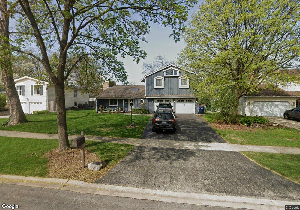
1562 Surrey Dr Wheaton, IL 60189
West Wheaton NeighborhoodEstimated Value: $646,000 - $759,000
About This Home
This home is located at 1562 Surrey Dr, Wheaton, IL 60189 and is currently estimated at $703,970, approximately $303 per square foot. 1562 Surrey Dr is a home located in DuPage County with nearby schools including Madison Elementary School, Edison Middle School, and Wheaton Warrenville South High School.
Ownership History
We collect this data history from publicly available records. To have your information removed, we recommend requesting removal directly through your county’s website.
Purchase Details
Home Financials for this Owner
Home Financials are based on the most recent Mortgage that was taken out on this home.Purchase Details
Home Financials for this Owner
Home Financials are based on the most recent Mortgage that was taken out on this home.Home Values in the Area
Average Home Value in this Area
Purchase History
We collect this data history from publicly available records. To have your information removed, we recommend requesting removal directly through your county’s website.
| Date | Buyer | Sale Price | Title Company |
|---|---|---|---|
| $407,000 | Attorney | ||
| $290,500 | -- |
Mortgage History
We collect this data history from publicly available records. To have your information removed, we recommend requesting removal directly through your county’s website.
| Date | Status | Borrower | Loan Amount |
|---|---|---|---|
| Open | $366,300 | ||
| Previous Owner | $200,000 |
Tax History
We collect this data history from publicly available records. To have your information removed, we recommend requesting removal directly through your county’s website.
| Year | Tax Paid | Tax Assessment Tax Assessment Total Assessment is a certain percentage of the fair market value that is determined by local assessors to be the total taxable value of land and additions on the property. | Land | Improvement |
|---|---|---|---|---|
| 2024 | $11,522 | $186,763 | $36,579 | $150,184 |
| 2023 | $11,077 | $171,910 | $33,670 | $138,240 |
| 2022 | $10,440 | $156,750 | $31,820 | $124,930 |
| 2021 | $10,406 | $153,030 | $31,060 | $121,970 |
| 2020 | $10,374 | $151,600 | $30,770 | $120,830 |
| 2019 | $10,137 | $147,600 | $29,960 | $117,640 |
| 2018 | $9,769 | $140,870 | $28,540 | $112,330 |
| 2017 | $10,445 | $140,730 | $27,490 | $113,240 |
| 2016 | $10,327 | $135,110 | $26,390 | $108,720 |
| 2015 | $9,795 | $128,900 | $25,180 | $103,720 |
| 2014 | $7,671 | $100,610 | $22,390 | $78,220 |
| 2013 | $7,474 | $100,910 | $22,460 | $78,450 |
Map
- 1601 W Wiesbrook Rd
- 1570 Orchard Rd
- 1862 W Wiesbrook Rd
- 1519 Foothill Dr
- 1482 Pebblestone Cove
- 1262 Midwest Ln
- 1520 Stonebridge Trail Unit 2-1
- 2101 Timber Ln
- 2105 Timber Ln
- 1420 Stonebridge Cir Unit 5N
- 1477 S County Farm Rd Unit 1-1
- 1028 Lodalia Ct
- 1554 Timber Trail Unit 20A
- 26W421 Wiesbrook Rd
- 1575 Stonehill Ct Unit A
- 836 Lyford Ln
- 1000 Crest St
- 1545 Woodcutter Ln Unit D
- 1312 Woodcutter Ln Unit C
- 1S728 Shaffner Rd
- 1568 Surrey Dr
- 1556 Surrey Dr
- 1561 Burning Trail
- 1569 Burning Trail
- 1576 Surrey Dr
- 1555 Burning Trail
- 1548 Surrey Dr
- 1557 Surrey Dr
- 1563 Surrey Dr
- 1569 Surrey Dr
- 1549 Burning Trail
- 1580 Surrey Dr
- 1553 Surrey Dr
- 1581 Burning Trail
- 1540 Surrey Dr
- 1581 Surrey Dr
- 1545 Surrey Dr
- 1541 Burning Trail
- 1587 Burning Trail
- 1534 Surrey Dr
Ask me questions while you tour the home.