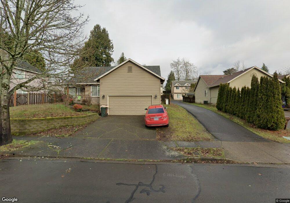
1565 SW 1st Ct Gresham, OR 97080
Hollybrook NeighborhoodEstimated Value: $446,069 - $520,000
About This Home
This home is located at 1565 SW 1st Ct, Gresham, OR 97080 and is currently estimated at $487,517, approximately $295 per square foot. 1565 SW 1st Ct is a home located in Multnomah County with nearby schools including Hollydale Elementary School, Clear Creek Middle School, and Gresham High School.
Ownership History
We collect this data history from publicly available records. To have your information removed, we recommend requesting removal directly through your county’s website.
Purchase Details
Home Financials for this Owner
Home Financials are based on the most recent Mortgage that was taken out on this home.Purchase Details
Home Financials for this Owner
Home Financials are based on the most recent Mortgage that was taken out on this home.Home Values in the Area
Average Home Value in this Area
Purchase History
We collect this data history from publicly available records. To have your information removed, we recommend requesting removal directly through your county’s website.
| Date | Buyer | Sale Price | Title Company |
|---|---|---|---|
| $157,000 | First American Title Co | ||
| $145,000 | First American Title Ins Co | ||
| -- | First American Title Ins Co |
Mortgage History
We collect this data history from publicly available records. To have your information removed, we recommend requesting removal directly through your county’s website.
| Date | Status | Borrower | Loan Amount |
|---|---|---|---|
| Open | $125,600 | ||
| Previous Owner | $101,500 |
Tax History
We collect this data history from publicly available records. To have your information removed, we recommend requesting removal directly through your county’s website.
| Year | Tax Paid | Tax Assessment Tax Assessment Total Assessment is a certain percentage of the fair market value that is determined by local assessors to be the total taxable value of land and additions on the property. | Land | Improvement |
|---|---|---|---|---|
| 2025 | $5,537 | $272,100 | -- | -- |
| 2024 | $5,300 | $264,180 | -- | -- |
| 2023 | $5,300 | $256,490 | -- | -- |
| 2022 | $4,694 | $249,020 | $0 | $0 |
| 2021 | $4,576 | $241,770 | $0 | $0 |
| 2020 | $4,305 | $234,730 | $0 | $0 |
| 2019 | $4,193 | $227,900 | $0 | $0 |
| 2018 | $3,998 | $221,270 | $0 | $0 |
| 2017 | $3,836 | $214,830 | $0 | $0 |
| 2016 | $3,379 | $208,580 | $0 | $0 |
| 2015 | $3,125 | $196,730 | $0 | $0 |
| 2014 | $2,876 | $180,030 | $0 | $0 |
Map
- 1454 SW 4th St
- 1595 NW 1st St
- 1386 SW 4th St
- 1618 SW 3rd Dr
- 1113 W Powell Blvd
- 1107 W Powell Blvd
- 1130 NW 1st St
- 159 SW Florence Ave Unit 26
- 159 SW Florence Ave Unit 45
- 512 SW Eastman Pkwy Unit 13
- 616 SW Eastman Pkwy
- 470 NW Bella Vista Dr
- 20 NW Wilson Ave
- 632 SW Willowbrook Ave
- 404 SW Overlook Ct
- 85 NW Sleret Ave
- 2393 SW 1st St
- 765 NW Angeline Ave
- 1745 NW 7th Place
- 337 NW Birdsdale Ave
- 1545 SW 1st Ct
- 1585 SW 1st Ct
- 1535 SW 1st Ct
- 1555 SW 1st Ct
- 1525 SW 1st Ct
- 1605 SW 1st Ct
- 1505 SW 1st Ct
- 1542 SW 1st Ct
- 1532 SW 1st Ct
- 1582 SW 1st Ct
- 1515 SW 1st Ct
- 1512 SW 1st Ct
- 1602 SW 1st Ct
- 1625 SW 1st Ct
- 1610 W Powell Blvd
- 155 SW Towle Ave
- 1622 SW 1st Ct
- 1595 SW 2nd Ct
- 1645 SW 1st Ct
- 1615 SW 2nd Ct
Ask me questions while you tour the home.