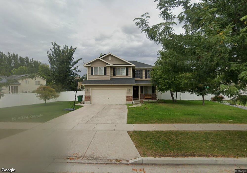
1565 W 690 S Logan, UT 84321
Woodruff NeighborhoodEstimated Value: $421,893 - $439,000
About This Home
This home is located at 1565 W 690 S, Logan, UT 84321 and is currently estimated at $428,473, approximately $250 per square foot. 1565 W 690 S is a home located in Cache County with nearby schools including Woodruff School, Mount Logan Middle School, and Logan High School.
Ownership History
We collect this data history from publicly available records. To have your information removed, we recommend requesting removal directly through your county’s website.
Purchase Details
Purchase Details
Home Financials for this Owner
Home Financials are based on the most recent Mortgage that was taken out on this home.Purchase Details
Home Financials for this Owner
Home Financials are based on the most recent Mortgage that was taken out on this home.Purchase Details
Purchase Details
Home Financials for this Owner
Home Financials are based on the most recent Mortgage that was taken out on this home.Purchase Details
Home Financials for this Owner
Home Financials are based on the most recent Mortgage that was taken out on this home.Home Values in the Area
Average Home Value in this Area
Purchase History
We collect this data history from publicly available records. To have your information removed, we recommend requesting removal directly through your county’s website.
| Date | Buyer | Sale Price | Title Company |
|---|---|---|---|
| -- | None Listed On Document | ||
| -- | None Listed On Document | ||
| -- | American Secure Title Logan | ||
| -- | Cache Title Company | ||
| -- | Cache Title Company | ||
| -- | Cache Title Company | ||
| -- | Cache Title Company |
Mortgage History
We collect this data history from publicly available records. To have your information removed, we recommend requesting removal directly through your county’s website.
| Date | Status | Borrower | Loan Amount |
|---|---|---|---|
| Previous Owner | $276,450 | ||
| Previous Owner | $162,011 | ||
| Previous Owner | $155,722 | ||
| Previous Owner | $122,800 |
Tax History
We collect this data history from publicly available records. To have your information removed, we recommend requesting removal directly through your county’s website.
| Year | Tax Paid | Tax Assessment Tax Assessment Total Assessment is a certain percentage of the fair market value that is determined by local assessors to be the total taxable value of land and additions on the property. | Land | Improvement |
|---|---|---|---|---|
| 2025 | $1,761 | $227,770 | $0 | $0 |
| 2024 | $1,823 | $228,325 | $0 | $0 |
| 2023 | $1,886 | $225,145 | $0 | $0 |
| 2022 | $1,741 | $194,125 | $0 | $0 |
| 2021 | $169 | $291,085 | $43,600 | $247,485 |
| 2020 | $1,613 | $250,140 | $43,600 | $206,540 |
| 2019 | $1,686 | $250,140 | $43,600 | $206,540 |
| 2018 | $1,648 | $223,200 | $43,600 | $179,600 |
| 2017 | $1,382 | $98,945 | $0 | $0 |
| 2016 | $1,433 | $98,945 | $0 | $0 |
| 2015 | $1,315 | $90,700 | $0 | $0 |
| 2014 | $1,189 | $90,700 | $0 | $0 |
| 2013 | -- | $90,700 | $0 | $0 |
Map
- 539 S 1580 W Unit 121
- 537 S Rivergate Dr
- 511 S Rivergate Dr
- 1769 W Rivergate Dr Unit 204
- 420 S 1400 W
- 1271 W 500 S
- 1264 W 500 S Unit 320
- 1269 W 500 S
- 1262 W 500 S
- 1225 W 500 S
- 1204 W 575 S
- 1213 W 500 S
- 1326 Willow Dr Unit 102
- 1163 W 400 S
- 1400 S 940 W
- 869 Three Pointe Ave
- 251 Rosewood Cir
- 753 S 370 W
- 695 W 760 S
- 658 W 500 S
- 1539 W 690 S
- 684 S 1580 W
- 1568 Kc Ln
- 255 W 690 S Unit 28
- 205 W 690 N
- 365 W 690 S Unit 17
- 335 W 690 S Unit 20
- 298 W 690 S Unit 14
- 322 W 690 S
- 205 W 690 S Unit 33
- 668 S 1580 W
- 1558 Kc Ln
- 701 S 1540 W Unit Lot 97
- 701 S 1540 W
- 1531 W 690 S
- 704 S 1540 W
- 1540 Kc Ln
- 702 S 1580 W
- 2167 S 1580 W
- 2155 S 1580 W
Ask me questions while you tour the home.