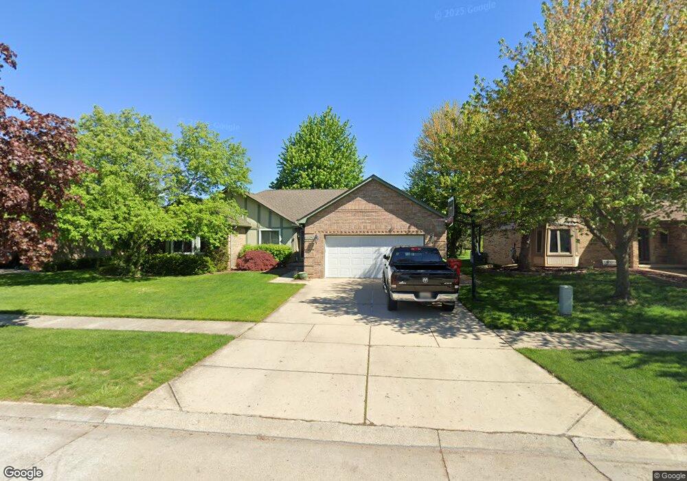
15671 Mountainside Dr Macomb, MI 48042
Macomb AreaEstimated Value: $418,000 - $466,000
About This Home
This home is located at 15671 Mountainside Dr, Macomb, MI 48042 and is currently estimated at $442,211, approximately $214 per square foot. 15671 Mountainside Dr is a home located in Macomb County with nearby schools including Beck Centennial Elementary School, Shelby Junior High School, and Eisenhower High School.
Ownership History
We collect this data history from publicly available records. To have your information removed, we recommend requesting removal directly through your county’s website.
Purchase Details
Purchase Details
Purchase Details
Home Financials for this Owner
Home Financials are based on the most recent Mortgage that was taken out on this home.Purchase Details
Home Financials for this Owner
Home Financials are based on the most recent Mortgage that was taken out on this home.Purchase Details
Home Values in the Area
Average Home Value in this Area
Purchase History
We collect this data history from publicly available records. To have your information removed, we recommend requesting removal directly through your county’s website.
| Date | Buyer | Sale Price | Title Company |
|---|---|---|---|
| -- | None Available | ||
| -- | None Available | ||
| $241,000 | Metropolitan Title Company | ||
| $257,000 | Metropolitan Title Company | ||
| $215,000 | -- |
Mortgage History
We collect this data history from publicly available records. To have your information removed, we recommend requesting removal directly through your county’s website.
| Date | Status | Borrower | Loan Amount |
|---|---|---|---|
| Open | $179,050 | ||
| Closed | $182,583 | ||
| Closed | $192,800 | ||
| Closed | $192,800 | ||
| Previous Owner | $255,200 |
Tax History
We collect this data history from publicly available records. To have your information removed, we recommend requesting removal directly through your county’s website.
| Year | Tax Paid | Tax Assessment Tax Assessment Total Assessment is a certain percentage of the fair market value that is determined by local assessors to be the total taxable value of land and additions on the property. | Land | Improvement |
|---|---|---|---|---|
| 2026 | $3,508 | $211,000 | $0 | $0 |
| 2025 | $2,331 | $202,400 | $0 | $0 |
| 2024 | $23 | $195,000 | $0 | $0 |
| 2023 | $2,149 | $169,400 | $0 | $0 |
| 2022 | $3,103 | $152,800 | $0 | $0 |
| 2021 | $3,023 | $147,100 | $0 | $0 |
| 2020 | $1,978 | $142,400 | $0 | $0 |
| 2019 | $2,772 | $133,700 | $0 | $0 |
| 2018 | $2,742 | $126,300 | $0 | $0 |
| 2017 | $2,695 | $118,670 | $32,500 | $86,170 |
| 2016 | $2,536 | $118,630 | $0 | $0 |
| 2015 | $2,504 | $112,310 | $0 | $0 |
| 2014 | $2,504 | $101,550 | $21,500 | $80,050 |
| 2011 | $743 | $96,880 | $18,500 | $78,380 |
Map
- 52279 Matterhorn Dr
- 52658 Stag Ridge Dr
- 15213 Meerschaert Dr
- 52186 Jacqueline Ct
- 15066 Orleans Dr
- 52505 Westcreek Dr
- 52328 Heatherstone Ave Unit 86
- 16748 Shale Ct Unit 27
- 14450 Knightsbridge Dr
- 53260 Villa Rosa Dr
- 52112 Southview Ridge
- 53106 Celtic Dr Unit 31
- 15408 Prentice Ct
- 16981 Sandstone Cir Unit 74
- 15342 Amberfield Dr
- 14382 Knightsbridge Dr
- 53291 Shanelle Ln
- 53698 Cranston Dr
- 53428 Gregory Dr
- 14281 Bournemuth Dr
- 15699 Mountainside Dr
- 15643 Mountainside Dr
- 52380 Ten Point Dr
- 52358 Ten Point Dr
- 15615 Mountainside Dr
- 52015 Antler Dr
- 52396 Ten Point Dr
- 52063 Antler Dr
- 52324 Ten Point Dr
- 15676 Mountainside Dr
- 15704 Mountainside Dr
- 15648 Mountainside Dr
- 15587 Mountainside Dr
- 52414 Ten Point Dr
- 52276 Ten Point Dr
- 15732 Mountainside Dr
- 15620 Mountainside Dr
- 52436 Ten Point Dr
- 15559 Mountainside Dr
- 15760 Mountainside Dr
Ask me questions while you tour the home.