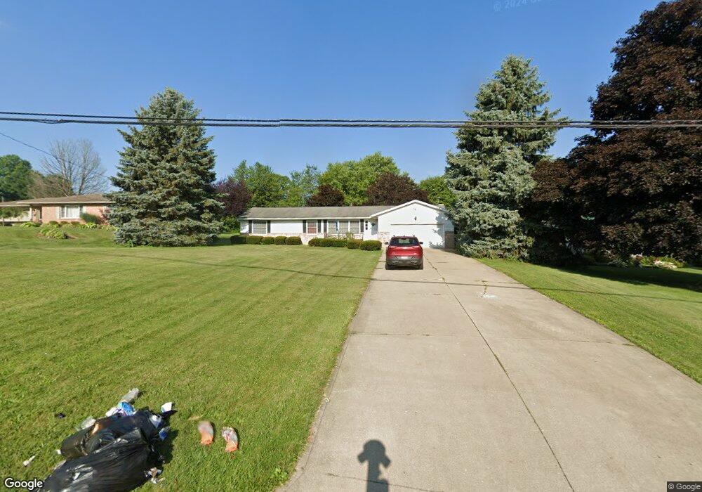
1569 Beal Rd Mansfield, OH 44903
Estimated Value: $223,552 - $265,000
3
Beds
2
Baths
1,582
Sq Ft
$151/Sq Ft
Est. Value
About This Home
This home is located at 1569 Beal Rd, Mansfield, OH 44903 and is currently estimated at $238,388, approximately $150 per square foot. 1569 Beal Rd is a home located in Richland County with nearby schools including Madison High School, Temple-Christian School, and St. Mary Catholic School.
Ownership History
Date
Name
Owned For
Owner Type
Purchase Details
Closed on
Oct 31, 2008
Sold by
Strauch Mary M
Bought by
Hedge Gregory R and Hedge Melissa G
Current Estimated Value
Home Financials for this Owner
Home Financials are based on the most recent Mortgage that was taken out on this home.
Original Mortgage
$120,346
Outstanding Balance
$75,275
Interest Rate
5.73%
Mortgage Type
FHA
Estimated Equity
$163,113
Purchase Details
Closed on
Jul 19, 1995
Sold by
Reeves Ute K
Bought by
Strauch Mary M
Create a Home Valuation Report for This Property
The Home Valuation Report is an in-depth analysis detailing your home's value as well as a comparison with similar homes in the area
Home Values in the Area
Average Home Value in this Area
Purchase History
| Date | Buyer | Sale Price | Title Company |
|---|---|---|---|
| Hedge Gregory R | $121,000 | Title First Agency Inc | |
| Strauch Mary M | $89,500 | -- |
Source: Public Records
Mortgage History
| Date | Status | Borrower | Loan Amount |
|---|---|---|---|
| Open | Hedge Gregory R | $120,346 |
Source: Public Records
Tax History
| Year | Tax Paid | Tax Assessment Tax Assessment Total Assessment is a certain percentage of the fair market value that is determined by local assessors to be the total taxable value of land and additions on the property. | Land | Improvement |
|---|---|---|---|---|
| 2025 | $2,477 | $51,720 | $11,580 | $40,140 |
| 2024 | $2,477 | $51,720 | $11,580 | $40,140 |
| 2023 | $2,520 | $51,720 | $11,580 | $40,140 |
| 2022 | $2,420 | $44,310 | $10,950 | $33,360 |
| 2021 | $2,419 | $44,310 | $10,950 | $33,360 |
| 2020 | $2,438 | $44,310 | $10,950 | $33,360 |
| 2019 | $2,324 | $37,550 | $9,280 | $28,270 |
| 2018 | $2,172 | $37,550 | $9,280 | $28,270 |
| 2017 | $2,065 | $37,550 | $9,280 | $28,270 |
| 2016 | $2,002 | $34,160 | $8,820 | $25,340 |
| 2015 | $2,002 | $34,160 | $8,820 | $25,340 |
| 2014 | $1,903 | $34,160 | $8,820 | $25,340 |
| 2012 | $898 | $34,150 | $9,280 | $24,870 |
Source: Public Records
Map
Nearby Homes
- 961 Neil Cir N
- 698 Hoover Rd
- 690 Ashland Rd
- 888 Beal Rd
- 573 Caldwell Ave
- 1990 Woodmont Rd
- 943 Yale Ave
- 0 Wesley
- 1168 ConcheMcO St
- 684 N Mcelroy Rd
- 1217 Evergreen Ave W
- 683 Coachman Rd
- 672 Coachman Rd
- 1226 Evergreen Ave W
- 644 Skyline Rd
- 646 Fleetwood Rd
- 632 Coachman Rd
- 602 Champion Rd
- 615 Champion Rd
- 607 Skyline Rd
Your Personal Tour Guide
Ask me questions while you tour the home.