Estimated Value: $100,000 - $197,115
3
Beds
2
Baths
1,912
Sq Ft
$73/Sq Ft
Est. Value
About This Home
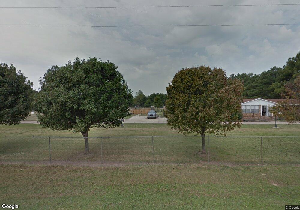
This home is located at 157 Dillard Rd, Earle, AR 72331 and is currently estimated at $139,779, approximately $73 per square foot. 157 Dillard Rd is a home located in Crittenden County with nearby schools including Earle Elementary School and Earle High School.
Ownership History
Date
Name
Owned For
Owner Type
Purchase Details
Closed on
Jul 13, 2011
Sold by
Sanders Martha C
Bought by
Simpson Dana M
Current Estimated Value
Purchase Details
Closed on
Jul 8, 2011
Sold by
Sanders Martha C
Bought by
Simpson Dana M
Purchase Details
Closed on
Oct 25, 2007
Sold by
Regions Bank
Bought by
Sanders Martha C
Purchase Details
Closed on
Oct 24, 2007
Sold by
Not Provided
Bought by
Sanders Martha C
Purchase Details
Closed on
Aug 1, 1989
Bought by
Roaldson Roaldson E and Roaldson Poterfield L
Create a Home Valuation Report for This Property
The Home Valuation Report is an in-depth analysis detailing your home's value as well as a comparison with similar homes in the area
Purchase History
| Date | Buyer | Sale Price | Title Company |
|---|---|---|---|
| Simpson Dana M | $92,000 | -- | |
| Simpson Dana M | $92,000 | -- | |
| Sanders Martha C | -- | -- | |
| Sanders Martha C | $70,000 | -- | |
| Roaldson Roaldson E | -- | -- | |
| To | -- | -- |
Source: Public Records
Tax History
| Year | Tax Paid | Tax Assessment Tax Assessment Total Assessment is a certain percentage of the fair market value that is determined by local assessors to be the total taxable value of land and additions on the property. | Land | Improvement |
|---|---|---|---|---|
| 2025 | $1,942 | $32,263 | $1,400 | $30,863 |
| 2024 | $1,853 | $29,430 | $1,200 | $28,230 |
| 2023 | $1,852 | $29,430 | $1,200 | $28,230 |
| 2022 | $1,852 | $29,430 | $1,200 | $28,230 |
| 2021 | $1,852 | $29,430 | $1,200 | $28,230 |
| 2020 | $1,662 | $29,430 | $1,200 | $28,230 |
| 2019 | $1,480 | $24,580 | $1,200 | $23,380 |
| 2018 | $1,548 | $24,580 | $1,200 | $23,380 |
| 2017 | $1,548 | $24,580 | $1,200 | $23,380 |
| 2016 | $1,186 | $24,580 | $1,200 | $23,380 |
| 2015 | $902 | $24,580 | $1,200 | $23,380 |
| 2014 | $902 | $23,440 | $1,200 | $22,240 |
Source: Public Records
Map
Nearby Homes
- 72 Grassy Lake Rd
- 7645 Bing's Store Rd
- 484 Arkansas 149
- 311 3rd Street Cir
- 812 Alabama St
- 118 Cloar Rd
- 1428 6th St
- 115 Haden St
- 00 Copeland Rd
- 1105 County Road 811
- Hwy 42 Tidwell Rd
- 312 E Smithdale Ave
- 209 E Parkin Ave
- 100 Coldren St
- 14022 U S Highway 70
- 13854 U S 70
- 428 Washington St
- 611 Co Rd 428
- 611 County Road 428
- 611 Cr 428
Your Personal Tour Guide
Ask me questions while you tour the home.