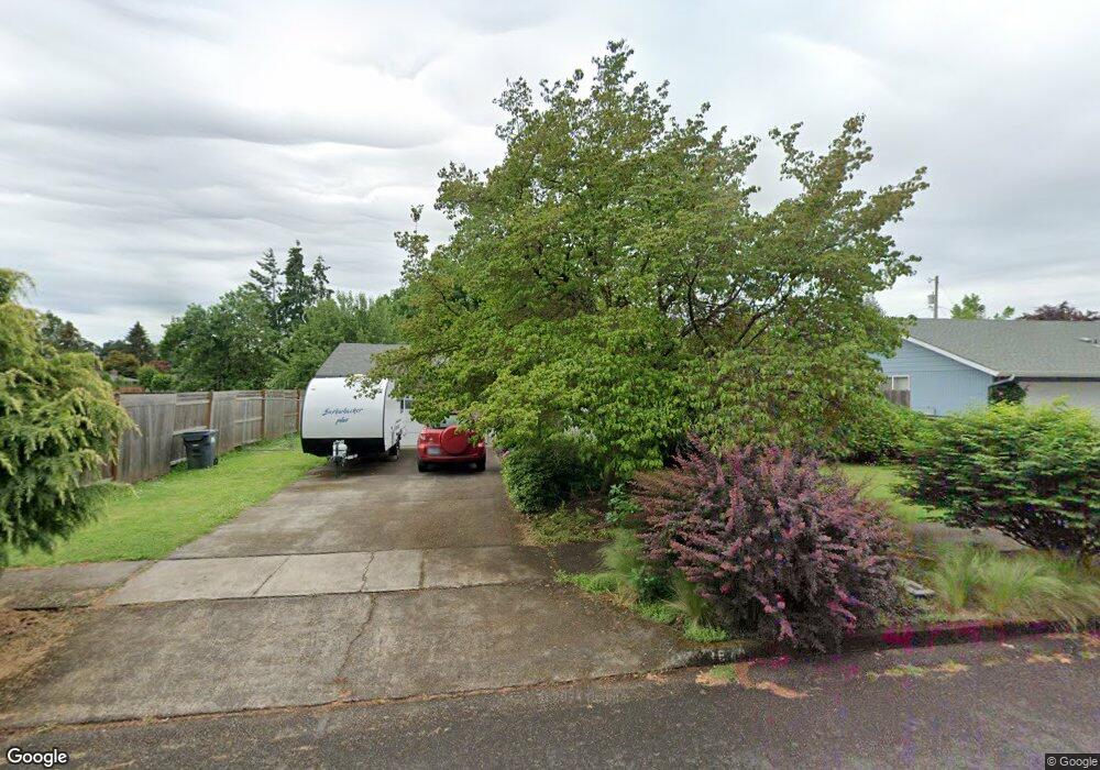
1570 Diane St Eugene, OR 97401
Cal Young NeighborhoodEstimated Value: $396,000 - $463,000
3
Beds
2
Baths
1,110
Sq Ft
$385/Sq Ft
Est. Value
About This Home
This home is located at 1570 Diane St, Eugene, OR 97401 and is currently estimated at $427,205, approximately $384 per square foot. 1570 Diane St is a home located in Lane County with nearby schools including Willagillespie Elementary School, Monroe Middle School, and Sheldon High School.
Ownership History
Date
Name
Owned For
Owner Type
Purchase Details
Closed on
Jun 14, 2023
Sold by
Shey Deborah
Bought by
Deborah S Shey Trust and Shey
Current Estimated Value
Purchase Details
Closed on
Apr 10, 2002
Sold by
Howey Wallace L
Bought by
Shey Deborah and Shey Donna L
Home Financials for this Owner
Home Financials are based on the most recent Mortgage that was taken out on this home.
Original Mortgage
$88,000
Interest Rate
6.78%
Create a Home Valuation Report for This Property
The Home Valuation Report is an in-depth analysis detailing your home's value as well as a comparison with similar homes in the area
Home Values in the Area
Average Home Value in this Area
Purchase History
| Date | Buyer | Sale Price | Title Company |
|---|---|---|---|
| Deborah S Shey Trust | -- | None Listed On Document | |
| Shey Deborah | $110,000 | Western Pioneer Title Co |
Source: Public Records
Mortgage History
| Date | Status | Borrower | Loan Amount |
|---|---|---|---|
| Previous Owner | Shey Deborah | $88,000 |
Source: Public Records
Tax History
| Year | Tax Paid | Tax Assessment Tax Assessment Total Assessment is a certain percentage of the fair market value that is determined by local assessors to be the total taxable value of land and additions on the property. | Land | Improvement |
|---|---|---|---|---|
| 2025 | $3,975 | $204,014 | -- | -- |
| 2024 | $3,926 | $198,072 | -- | -- |
| 2023 | $3,926 | $192,303 | $0 | $0 |
| 2022 | $3,678 | $186,702 | $0 | $0 |
| 2021 | $3,454 | $181,265 | $0 | $0 |
| 2020 | $3,466 | $175,986 | $0 | $0 |
| 2019 | $3,348 | $170,861 | $0 | $0 |
| 2018 | $3,151 | $161,053 | $0 | $0 |
| 2017 | $3,010 | $161,053 | $0 | $0 |
| 2016 | $2,935 | $156,362 | $0 | $0 |
| 2015 | $2,851 | $151,808 | $0 | $0 |
| 2014 | $2,794 | $147,386 | $0 | $0 |
Source: Public Records
Map
Nearby Homes
- 1943 Monterey Ln
- 0 Cal Young Rd Unit Lot 4
- 1625 Monterey Ln
- 1810 Minda Dr
- 1521 Gilham Rd
- 1901 Minda Dr
- 1500 Norkenzie Rd Unit 12
- 1328 Spyglass Dr
- 0 Piper Ln Unit Lot 1
- 0 Piper Ln Unit Lot 3
- 0 Piper Ln Unit Lot 2
- 0 Piper Ln Unit Lot 5
- 982 Shaughnessy Ln
- 1376 Brickley Rd
- 1332 Jeppesen Ave
- 410 Spyglass Dr
- 2291 Norkenzie Rd
- 516 Spyglass Dr
- 2495 Jeppesen Acres Rd
- 2150 Greenview St
- 1580 Diane St
- 1860 Carmel Ave
- 1590 Diane St
- 1591 Long Island Dr
- 1907 Monterey Ln
- 1810 Carmel Ave
- 1595 Long Island Dr
- 1902 Monterey Ln
- 1585 Long Island Dr
- 1908 Carmel Ave
- 1925 Monterey Ln
- 1575 Long Island Dr
- 1926 Monterey Ln
- 1916 Carmel Ave
- 1625 Long Island Dr
- 1541 Morningside Dr
- 1895 Carmel Ave
- 1545 Long Island Dr
- 1944 Monterey Ln
- 1909 Carmel Ave
Your Personal Tour Guide
Ask me questions while you tour the home.