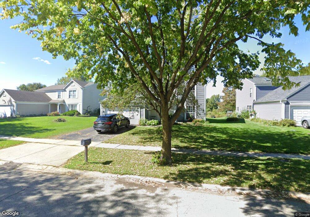
1570 Saint Andrews Cir Elgin, IL 60123
College Green NeighborhoodEstimated Value: $325,000 - $350,438
3
Beds
2
Baths
1,476
Sq Ft
$232/Sq Ft
Est. Value
About This Home
This home is located at 1570 Saint Andrews Cir, Elgin, IL 60123 and is currently estimated at $342,360, approximately $231 per square foot. 1570 Saint Andrews Cir is a home located in Kane County with nearby schools including Otter Creek Elementary School, Abbott Middle School, and South Elgin High School.
Ownership History
Date
Name
Owned For
Owner Type
Purchase Details
Closed on
Dec 28, 2007
Sold by
Yeaton Mark E and Yeaton Barbara K
Bought by
Khamdaraphone Khoutkaysone and Khamdaraphone Vilayvanh
Current Estimated Value
Home Financials for this Owner
Home Financials are based on the most recent Mortgage that was taken out on this home.
Original Mortgage
$206,349
Outstanding Balance
$130,996
Interest Rate
6.27%
Mortgage Type
Purchase Money Mortgage
Estimated Equity
$211,364
Purchase Details
Closed on
Jan 22, 2003
Sold by
Yeaton Mark E and Yeaton Barbara K
Bought by
Yeaton Mark E and Yeaton Barbara K
Purchase Details
Closed on
Sep 11, 2001
Sold by
Yeaton Barbara
Bought by
Yeaton Mark E and Yeaton Barbara K
Purchase Details
Closed on
Aug 30, 1994
Sold by
Bank One Chicago Na
Bought by
Yeaton Barbara
Create a Home Valuation Report for This Property
The Home Valuation Report is an in-depth analysis detailing your home's value as well as a comparison with similar homes in the area
Home Values in the Area
Average Home Value in this Area
Purchase History
We collect this data history from publicly available records. To have your information removed, we recommend requesting removal directly through your county’s website.
| Date | Buyer | Sale Price | Title Company |
|---|---|---|---|
| Khamdaraphone Khoutkaysone | $214,000 | Chicago Title Insurance Co | |
| Yeaton Mark E | -- | -- | |
| Yeaton Mark E | -- | -- | |
| Yeaton Barbara | -- | -- |
Source: Public Records
Mortgage History
We collect this data history from publicly available records. To have your information removed, we recommend requesting removal directly through your county’s website.
| Date | Status | Borrower | Loan Amount |
|---|---|---|---|
| Open | Khamdaraphone Khoutkaysone | $206,349 |
Source: Public Records
Tax History
| Year | Tax Paid | Tax Assessment Tax Assessment Total Assessment is a certain percentage of the fair market value that is determined by local assessors to be the total taxable value of land and additions on the property. | Land | Improvement |
|---|---|---|---|---|
| 2024 | $5,936 | $90,173 | $27,692 | $62,481 |
| 2023 | $5,581 | $81,465 | $25,018 | $56,447 |
| 2022 | $5,487 | $74,282 | $22,812 | $51,470 |
| 2021 | $6,196 | $69,449 | $21,328 | $48,121 |
| 2020 | $6,047 | $66,300 | $20,361 | $45,939 |
| 2019 | $5,898 | $63,155 | $19,395 | $43,760 |
| 2018 | $5,528 | $55,916 | $18,271 | $37,645 |
| 2017 | $5,437 | $52,861 | $17,273 | $35,588 |
| 2016 | $5,230 | $49,041 | $16,025 | $33,016 |
| 2015 | -- | $44,950 | $14,688 | $30,262 |
| 2014 | -- | $44,395 | $14,507 | $29,888 |
| 2013 | -- | $45,566 | $14,890 | $30,676 |
Source: Public Records
Map
Nearby Homes
- 1502 Sawgrass Ct
- 1863 Castle Pines Cir
- 769 Hobart Dr Unit C
- 746 Fieldcrest Dr Unit B
- 698 Fenwick Ln
- 698 Juli Dr
- 441 S Mclean Blvd
- 874 Cascade Ct
- 863 Cascade Ct
- 873 Cascade Ct
- 864 Cascade Ct
- 7 Gladys Ct
- 625 Fairview Ln
- 2054 Mission Hills Dr
- 832 Coronado Ct
- 645 Lancaster Cir
- 444 Radcliff Ln
- 1032 Blazing Star St
- 949 Manchester Ct
- 2212 Baxter Ct
- 1570 Saint Andrews Cir
- 1580 Saint Andrews Cir
- 1560 Saint Andrews Cir
- 1556 Saint Andrews Cir
- 1590 Saint Andrews Cir
- 1565 Saint Andrews Cir
- 1575 Saint Andrews Cir Unit 1
- 1559 Saint Andrews Cir
- 1585 Saint Andrews Cir
- 1550 Saint Andrews Cir
- 1598 Saint Andrews Cir
- 1555 Saint Andrews Cir
- 1546 Saint Andrews Cir
- 1544 Sawgrass Ct
- 1555 Sawgrass Ct
- 1608 Saint Andrews Cir
- 1528 Sawgrass Ct
- 1549 Saint Andrews Cir
- 1542 Saint Andrews Cir
- 1618 Saint Andrews Cir
Your Personal Tour Guide
Ask me questions while you tour the home.