15701 Mcclellan Rd Springport, MI 49284
Estimated Value: $465,000
About This Home
This home is located at 15701 Mcclellan Rd, Springport, MI 49284 and is currently estimated at $465,000, approximately $425 per square foot. 15701 Mcclellan Rd is a home located in Jackson County with nearby schools including Springport Elementary School, Springport Middle School, and Springport High School.
Ownership History
We collect this data history from publicly available records. To have your information removed, we recommend requesting removal directly through your county’s website.
Purchase Details
Home Financials for this Owner
Home Financials are based on the most recent Mortgage that was taken out on this home.Purchase Details
Purchase Details
Purchase History
We collect this data history from publicly available records. To have your information removed, we recommend requesting removal directly through your county’s website.
| Date | Buyer | Sale Price | Title Company |
|---|---|---|---|
| $90,000 | Attorney | ||
| $6,000 | -- | ||
| $6,000 | -- |
Mortgage History
We collect this data history from publicly available records. To have your information removed, we recommend requesting removal directly through your county’s website.
| Date | Status | Borrower | Loan Amount |
|---|---|---|---|
| Open | $114,000 |
Tax History
We collect this data history from publicly available records. To have your information removed, we recommend requesting removal directly through your county’s website.
| Year | Tax Paid | Tax Assessment Tax Assessment Total Assessment is a certain percentage of the fair market value that is determined by local assessors to be the total taxable value of land and additions on the property. | Land | Improvement |
|---|---|---|---|---|
| 2026 | $725 | $244,500 | $0 | $0 |
| 2025 | $725 | $235,700 | $0 | $0 |
| 2024 | $7 | $216,300 | $0 | $0 |
| 2023 | $665 | $212,700 | $0 | $0 |
| 2022 | $1,424 | $214,100 | $0 | $0 |
| 2021 | $2,027 | $204,600 | $0 | $0 |
| 2020 | $614 | $138,700 | $0 | $0 |
| 2019 | $1,964 | $142,500 | $0 | $0 |
| 2018 | $1,925 | $140,800 | $0 | $0 |
| 2017 | $1,820 | $141,100 | $0 | $0 |
| 2016 | $572 | $122,200 | $122,200 | $0 |
| 2015 | -- | $112,500 | $112,500 | $0 |
| 2014 | -- | $103,400 | $0 | $0 |
| 2013 | -- | $103,400 | $103,400 | $0 |
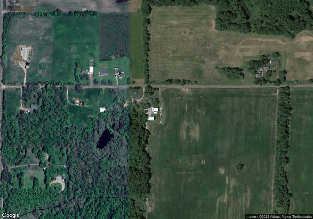
Map
- v/l Holibaugh Rd
- 12390 Holibaugh Rd
- 325 Grand St
- 162 Monroe St
- 330 Grand St
- 220 Grand St
- 12793 Gibbs Rd
- 11765 Crawford Rd
- 22987 29 1 2 Mile Rd
- 29510 S Dr N
- 7800 Markle Hwy
- 21172 29 1 2 Mile Rd
- 29255 S Dr N
- 9733 Blue Heron
- 9537 S Clinton Trail
- 5371 Wolf Hwy
- 7819 Eaton Rapids Rd
- 8840 Houston Rd
- 7295 N Gibbs Rd
- 19822 27 1 2 Mile Rd
- 15738 Mcclellan Rd
- 15886 Mcclellan Rd
- 11300 Holibaugh Rd
- 11300 Holibaugh Rd
- 11302 Holibaugh Rd
- 15961 Mcclellan Rd
- 15502 Mcclellan Rd
- 7.11 Ac Vl Mc Clellan Rd
- 11264 Holibaugh Rd
- 11501 Holibaugh Rd
- 11391 Holibaugh Rd
- 11383 Holibaugh Rd
- 11259 Holibaugh Rd
- 11259 Holibaugh Rd
- 15375 Mcclellan Rd
- 11162 Holibaugh Rd
- 0000 Holibaugh Rd
- 11669 Holibaugh Rd
- 11740 Holibaugh Rd
- 11021 Holibaugh Rd
Ask me questions while you tour the home.