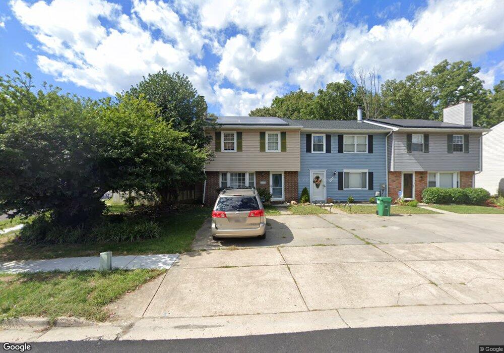
15702 Haynes Rd Laurel, MD 20707
Estimated Value: $312,000 - $350,000
About This Home
This home is located at 15702 Haynes Rd, Laurel, MD 20707 and is currently estimated at $330,940, approximately $242 per square foot. 15702 Haynes Rd is a home located in Prince George's County with nearby schools including Scotchtown Hills Elementary School, Dwight D. Eisenhower Middle School, and Laurel High School.
Ownership History
We collect this data history from publicly available records. To have your information removed, we recommend requesting removal directly through your county’s website.
Purchase Details
Purchase Details
Home Financials for this Owner
Home Financials are based on the most recent Mortgage that was taken out on this home.Purchase Details
Home Financials for this Owner
Home Financials are based on the most recent Mortgage that was taken out on this home.Purchase Details
Home Financials for this Owner
Home Financials are based on the most recent Mortgage that was taken out on this home.Purchase Details
Purchase Details
Home Financials for this Owner
Home Financials are based on the most recent Mortgage that was taken out on this home.Home Values in the Area
Average Home Value in this Area
Purchase History
We collect this data history from publicly available records. To have your information removed, we recommend requesting removal directly through your county’s website.
| Date | Buyer | Sale Price | Title Company |
|---|---|---|---|
| -- | None Listed On Document | ||
| -- | None Listed On Document | ||
| $309,900 | -- | ||
| $309,900 | -- | ||
| $203,700 | -- | ||
| $142,000 | -- | ||
| $107,000 | -- |
Mortgage History
We collect this data history from publicly available records. To have your information removed, we recommend requesting removal directly through your county’s website.
| Date | Status | Borrower | Loan Amount |
|---|---|---|---|
| Previous Owner | $247,920 | ||
| Previous Owner | $247,920 | ||
| Previous Owner | $162,950 | ||
| Previous Owner | $106,953 |
Tax History
We collect this data history from publicly available records. To have your information removed, we recommend requesting removal directly through your county’s website.
| Year | Tax Paid | Tax Assessment Tax Assessment Total Assessment is a certain percentage of the fair market value that is determined by local assessors to be the total taxable value of land and additions on the property. | Land | Improvement |
|---|---|---|---|---|
| 2025 | $4,612 | $287,300 | $90,000 | $197,300 |
| 2024 | $4,612 | $271,067 | -- | -- |
| 2023 | $4,374 | $254,833 | $0 | $0 |
| 2022 | $4,094 | $238,600 | $75,000 | $163,600 |
| 2021 | $3,825 | $221,667 | $0 | $0 |
| 2020 | $3,642 | $204,733 | $0 | $0 |
| 2019 | $3,451 | $187,800 | $75,000 | $112,800 |
| 2018 | $3,399 | $184,900 | $0 | $0 |
| 2017 | $3,350 | $182,000 | $0 | $0 |
| 2016 | -- | $179,100 | $0 | $0 |
| 2015 | $3,360 | $179,100 | $0 | $0 |
| 2014 | $3,360 | $179,100 | $0 | $0 |
Map
- 15743 Millbrook Ln
- 15837 Millbrook Ln
- 15628 Mews Ct
- 15734 Millbrook Ln
- 15732 Millbrook Ln
- 15818 Millbrook Ln
- 8028 Sandy Spring Rd
- 7640 N Arbory Way
- 15700 Dorset Rd
- 15601 Dorset Rd Unit 102
- 15706 Dorset Rd Unit 102
- 7629 Arbory Ct
- 7505 Braun St
- 7515 Braun St
- 7522 Braun St
- 7511 Braun St
- 7508 Braun St
- 7512 Braun St
- 7520 Braun St
- 7519 Braun St
- 7725 Haines Ct
- 7727 Haines Ct
- 7723 Haines Ct
- 7729 Haines Ct
- 7721 Haines Ct
- 7731 Haines Ct
- 7719 Haines Ct
- 7717 Haines Ct
- 7501 Haines Ct
- 15700 Haynes Rd
- 7715 Haines Ct
- 15601 Haynes Rd
- 7503 Haines Ct
- 7713 Haines Ct
- 7610 Sandy Spring Rd
- 7505 Haines Ct
- 7711 Haines Ct
- 15704 Haynes Rd
- 7500 Haines Ct
- 15608 Haynes Rd
Ask me questions while you tour the home.