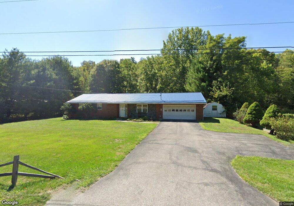
15724 State Route 550 Fleming, OH 45729
Estimated Value: $197,000 - $304,000
3
Beds
3
Baths
1,300
Sq Ft
$185/Sq Ft
Est. Value
About This Home
This home is located at 15724 State Route 550, Fleming, OH 45729 and is currently estimated at $240,696, approximately $185 per square foot. 15724 State Route 550 is a home located in Washington County with nearby schools including Warren High School.
Ownership History
Date
Name
Owned For
Owner Type
Purchase Details
Closed on
Mar 15, 2012
Sold by
Nicholson Gregory and Estate Of Roger L Nicholson
Bought by
Webb Diane A
Current Estimated Value
Home Financials for this Owner
Home Financials are based on the most recent Mortgage that was taken out on this home.
Original Mortgage
$82,820
Outstanding Balance
$56,151
Interest Rate
3.75%
Mortgage Type
FHA
Estimated Equity
$184,545
Purchase Details
Closed on
Feb 6, 1998
Bought by
Nicholson Roger L and Nicholson Mary
Create a Home Valuation Report for This Property
The Home Valuation Report is an in-depth analysis detailing your home's value as well as a comparison with similar homes in the area
Purchase History
| Date | Buyer | Sale Price | Title Company |
|---|---|---|---|
| Webb Diane A | $85,000 | Title First Agency | |
| Nicholson Roger L | $90,000 | -- | |
| Nicholson Roger L | $90,000 | -- |
Source: Public Records
Mortgage History
| Date | Status | Borrower | Loan Amount |
|---|---|---|---|
| Open | Webb Diane A | $82,820 |
Source: Public Records
Tax History
| Year | Tax Paid | Tax Assessment Tax Assessment Total Assessment is a certain percentage of the fair market value that is determined by local assessors to be the total taxable value of land and additions on the property. | Land | Improvement |
|---|---|---|---|---|
| 2024 | $2,883 | $62,470 | $8,040 | $54,430 |
| 2023 | $2,422 | $62,470 | $8,040 | $54,430 |
| 2022 | $2,415 | $62,470 | $8,040 | $54,430 |
| 2021 | $1,940 | $47,990 | $5,640 | $42,350 |
| 2020 | $1,932 | $47,990 | $5,640 | $42,350 |
| 2019 | $1,912 | $47,990 | $5,640 | $42,350 |
| 2018 | $1,783 | $43,400 | $4,900 | $38,500 |
| 2017 | $1,773 | $43,400 | $4,900 | $38,500 |
| 2016 | $1,554 | $43,400 | $4,900 | $38,500 |
| 2015 | $1,393 | $37,740 | $4,810 | $32,930 |
| 2014 | $1,942 | $37,740 | $4,810 | $32,930 |
| 2013 | $970 | $37,740 | $4,810 | $32,930 |
Source: Public Records
Map
Nearby Homes
- 641 Warren Chapel Rd
- 330 Wynncrest Dr
- 109 Clare Kennedy Dr
- 81 James Rd
- 2315 Blue Knob Rd
- 280 Asher Ln
- 0 Fisher Ridge Rd Tract 6
- 0 Fisher Ridge Rd Tract 7
- 0 Fisher Ridge Rd Tract 5
- 0 Fisher Ridge Rd Tract 2
- 0 Fisher Ridge Rd Tract 1
- 0 Fisher Ridge Rd
- 10174 Veto Rd
- 2030 Silver Globe Rd
- 5515 2nd Ave
- 0 Tadpole Run Rd
- 5607 Grand Central Ave
- 20 Silver Globe Rd
- 20043 State Route 550
- 181 Harvest Run Rd
- 15752 State Route 550
- 15768 Ohio 550
- 15780 Oh 550
- 15780 Ohio 550
- 15780 State Route 550
- 15616 State Route 550
- 15619 State Route 550
- 15834 Ohio 550
- 15958 State Route 550
- 15998 State Route 550
- 15936 State Route 550
- 15850 Oh 550
- 15850 Ohio 550
- 15850 State Route 550
- 98 Salster Rd
- 15616 Ohio 550
- 15870 State Route 550
- 15616 Oh 550
- 15585 State Route 550
- 15901 Ohio 550
Your Personal Tour Guide
Ask me questions while you tour the home.