1576 G Path Cotopaxi, CO 81223
Estimated Value: $243,188 - $326,000
3
Beds
2
Baths
1,512
Sq Ft
$191/Sq Ft
Est. Value
About This Home
This home is located at 1576 G Path, Cotopaxi, CO 81223 and is currently estimated at $288,047, approximately $190 per square foot. 1576 G Path is a home located in Fremont County with nearby schools including Cotopaxi Elementary School and Cotopaxi Junior/Senior High School.
Ownership History
Date
Name
Owned For
Owner Type
Purchase Details
Closed on
Aug 9, 2024
Sold by
Fougner David A and Fougner David
Bought by
Goldsmith Wendell M and Sousa Terri L
Current Estimated Value
Home Financials for this Owner
Home Financials are based on the most recent Mortgage that was taken out on this home.
Original Mortgage
$200,000
Outstanding Balance
$196,628
Interest Rate
6.86%
Mortgage Type
New Conventional
Estimated Equity
$91,419
Purchase Details
Closed on
Oct 15, 2005
Sold by
Fougner David A
Bought by
Fougner David A and Wilke Arlene K
Create a Home Valuation Report for This Property
The Home Valuation Report is an in-depth analysis detailing your home's value as well as a comparison with similar homes in the area
Tax History
| Year | Tax Paid | Tax Assessment Tax Assessment Total Assessment is a certain percentage of the fair market value that is determined by local assessors to be the total taxable value of land and additions on the property. | Land | Improvement |
|---|---|---|---|---|
| 2025 | $875 | $16,937 | -- | -- |
| 2024 | $875 | $18,183 | $0 | $0 |
| 2023 | $692 | $14,134 | $0 | $0 |
| 2022 | $521 | $11,098 | $0 | $0 |
| 2021 | $524 | $11,418 | $0 | $0 |
| 2020 | $417 | $9,238 | $0 | $0 |
| 2019 | $416 | $9,238 | $0 | $0 |
| 2018 | $354 | $7,869 | $0 | $0 |
| 2017 | $356 | $7,869 | $0 | $0 |
| 2016 | $331 | $7,330 | $0 | $0 |
| 2015 | $330 | $7,330 | $0 | $0 |
| 2012 | $322 | $7,843 | $796 | $7,047 |
Source: Public Records
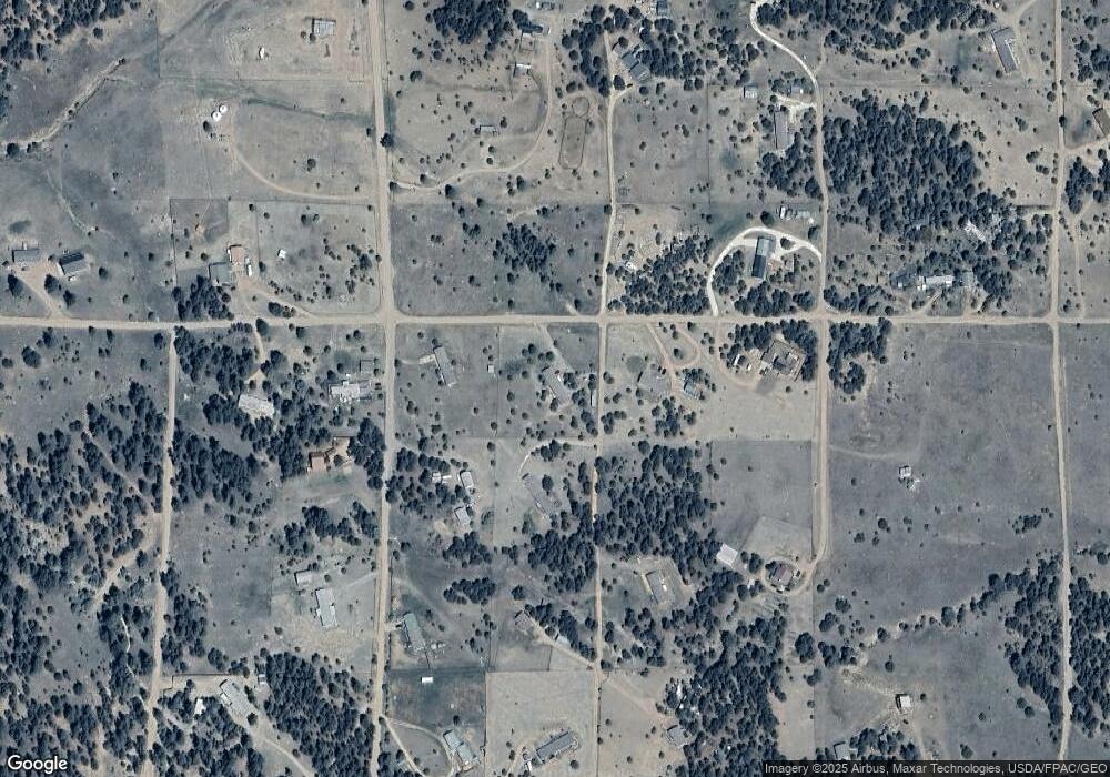
Map
Nearby Homes
- 763 17th Trail
- 1012 17th Trail
- TBD G Path
- 0 G Path
- TBD L I Path
- 439 15th Trail
- 639 15th Trail
- 1839 15th Trail
- 863 15th Trail
- TR-143 18th Trail
- 395 Gibbons Trailway
- 547 Blazing Saddle Trail
- 474 Deer Run Dr
- 739 17th Trail
- 000 K Path
- 0 Tbd Vacant Land Unit 2517535
- 104 Sleepy Hollow Trail
- xx 22nd Trail
- 2125 J Path
- TBD 25th Trail
Your Personal Tour Guide
Ask me questions while you tour the home.