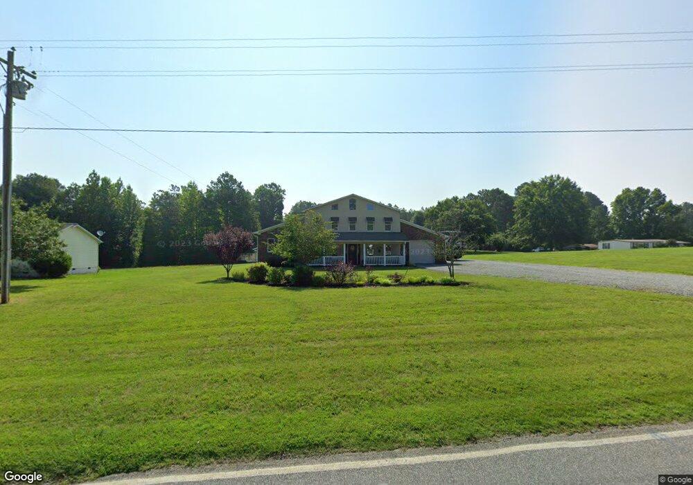
1579 Simerson Rd Linwood, NC 27299
Estimated Value: $172,000 - $337,000
1
Bed
1
Bath
3,973
Sq Ft
$68/Sq Ft
Est. Value
About This Home
This home is located at 1579 Simerson Rd, Linwood, NC 27299 and is currently estimated at $271,034, approximately $68 per square foot. 1579 Simerson Rd is a home located in Davidson County with nearby schools including Churchland Elementary School, Tyro Middle School, and West Davidson High School.
Ownership History
Date
Name
Owned For
Owner Type
Purchase Details
Closed on
Apr 6, 2006
Sold by
Hattaway Deborah Beck and Hattaway Gary Lewis
Bought by
Mayerchak Thomas S and Mayerchak Regina M
Current Estimated Value
Purchase Details
Closed on
Feb 19, 2004
Sold by
Myers Bruce T
Bought by
Myers Deborah Beck
Purchase Details
Closed on
Feb 1, 1999
Purchase Details
Closed on
May 1, 1994
Create a Home Valuation Report for This Property
The Home Valuation Report is an in-depth analysis detailing your home's value as well as a comparison with similar homes in the area
Purchase History
| Date | Buyer | Sale Price | Title Company |
|---|---|---|---|
| Mayerchak Thomas S | $24,000 | None Available | |
| Mayerchak Thomas S | $24,000 | None Available | |
| Myers Deborah Beck | -- | -- | |
| -- | $20,000 | -- | |
| -- | $2,000 | -- | |
| -- | $12,000 | -- |
Source: Public Records
Tax History
| Year | Tax Paid | Tax Assessment Tax Assessment Total Assessment is a certain percentage of the fair market value that is determined by local assessors to be the total taxable value of land and additions on the property. | Land | Improvement |
|---|---|---|---|---|
| 2025 | $1,422 | $229,220 | $0 | $0 |
| 2024 | $1,422 | $229,220 | $0 | $0 |
| 2023 | $1,422 | $229,220 | $0 | $0 |
| 2022 | $1,422 | $229,220 | $0 | $0 |
| 2021 | $1,422 | $229,220 | $0 | $0 |
| 2020 | $1,278 | $205,880 | $0 | $0 |
| 2019 | $1,297 | $205,880 | $0 | $0 |
| 2018 | $1,297 | $205,880 | $0 | $0 |
| 2017 | $1,297 | $205,880 | $0 | $0 |
| 2016 | $1,285 | $210,620 | $0 | $0 |
| 2015 | $1,285 | $210,620 | $0 | $0 |
| 2014 | $1,289 | $211,350 | $0 | $0 |
Source: Public Records
Map
Nearby Homes
- 1431 Jubilee Rd
- 1378 Jubilee Rd
- 201 Old Pasture Rd
- 711 Simerson Rd
- 417 Daniel Dr
- 9143 N Carolina Highway 150
- 229 Rebecca Ave
- 2780 Sowers Rd
- 2706 Sowers Rd
- 149 Bramble Trail
- 3361 N Goat Pasture Rd
- 0 Long Bow Rd Unit 1200498
- 00 Forest Winds Dr
- 6230 Old Mocksville Rd
- 251 Carriage Trace Ln
- 3840 Old Mocksville Rd
- 0 Pine Tree Place
- 2049 Swicegood Rd
- 2047 Swicegood Rd
- 2430 Grubb Ferry Rd
- 1607 Simerson Rd
- 1531 Simerson Rd
- 1548 Simerson Rd
- 1594 Simerson Rd
- 1480 Jubilee Rd
- 1464 Jubilee Rd
- 1448 Jubilee Rd
- 1452 Simerson Rd
- 1585 Simerson Rd
- 1414 Jubilee Rd
- 1394 Jubilee Rd
- 1383 Jubilee Rd
- 1360 Jubilee Rd
- 1757 Simerson Rd
- 1587 Simerson Rd
- 220 Old Pasture Rd
- 1432 Jubilee Rd
- 1836 Simerson Rd
- 1265 Jubilee Rd
- 1200 Jubilee Rd
Your Personal Tour Guide
Ask me questions while you tour the home.